

Global Weekly Snow Roundup #314
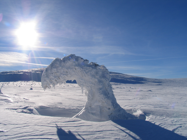
Weekly Global Snow News, updated 14 May 2026: Fresh snowfall in Argentina, Australia and Lesotho signals winter’s approach, while Japan maintains the world’s deepest snowpack.

Next 3 days weather summary:Moderate rain (total 11.0mm), heaviest on Sat morning. Very mild (max 12°C on Mon afternoon, min 2°C on Sat night). Wind will be generally light. | Days 4-6 weather summary:Heavy rain (total 23.0mm), heaviest during Tue afternoon. Very mild (max 13°C on Wed afternoon, min 7°C on Tue night). Wind will be generally light. | |||||||||||||||||
Saturday 16 | Sunday 17 | Monday 18 | Tuesday 19 | Wednesday 20 | Thursday 21 | |||||||||||||
AM | PM | night | AM | PM | night | AM | PM | night | AM | PM | night | AM | PM | night | AM | PM | night | |
light rain | light rain | rain shwrs | cloudy | light rain | some clouds | clear | rain shwrs | rain shwrs | light rain | risk thun- der | rain shwrs | rain shwrs | rain shwrs | light rain | rain shwrs | rain shwrs | rain shwrs | |
km/h | ||||||||||||||||||
Snow map |  |  |  | 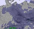 | 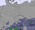 | 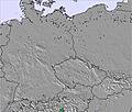 | ||||||||||||
— | — | — | — | — | — | — | — | — | — | — | — | — | — | — | — | — | — | |
4 | 2 | 1 | — | 1 | — | — | 2 | 1 | 1 | 5 | 5 | 1 | 2 | 3 | 1 | 4 | 1 | |
max °C | 5 | 7 | 6 | 8 | 10 | 7 | 11 | 12 | 9 | 12 | 12 | 10 | 12 | 13 | 11 | 12 | 13 | 11 |
min °C | 4 | 7 | 2 | 5 | 8 | 4 | 8 | 11 | 6 | 10 | 12 | 7 | 10 | 13 | 8 | 10 | 13 | 7 |
0 | 4 | -1 | 3 | 7 | 4 | 8 | 11 | 5 | 10 | 12 | 5 | 9 | 12 | 6 | 9 | 11 | 5 | |
91 | 84 | 78 | 70 | 75 | 76 | 67 | 61 | 77 | 69 | 78 | 79 | 75 | 78 | 88 | 84 | 79 | 87 | |
1500 | 1800 | 1800 | 1750 | 1950 | 2000 | 2050 | 2300 | 2400 | 2350 | 2500 | 2450 | 2450 | 2650 | 2600 | 2650 | 2800 | 2950 | |
5:05 | — | — | 5:05 | — | — | 5:03 | — | — | 5:01 | — | — | 5:01 | — | — | 5:00 | — | — | |
— | — | 8:35 | — | — | 8:37 | — | — | 8:37 | — | — | 8:38 | — | — | 8:40 | — | — | 8:42 | |
Latest snow reports near Zieleniec:
| Top snow depth: | — |
|---|---|
| Bottom snow depth: | — |
| Fresh snowfall depth: | — |
| Last snowfall: | 11 May 2026 |
| Snow Alerts | Create Alert |
0.0 | Bluebird Powder days Fresh snow, mostly sunny, light wind. |
|---|---|
0.0 | Powder days Fresh snow, limited sun, any wind. |
0.0 | Bluebird days Average snow, mostly sunny, light wind. |
The above table gives the weather forecast for Zieleniec at the specific elevation of 850 m. Our sophisticated weather models allow us to provide snow forecasts for the top, middle and bottom ski stations of Zieleniec. To access the weather forecasts for the other elevations, use the tab navigation above the table. For a wider view of the weather, check out the Weather Map of Poland.
Click here to read further information on freezing levels and how we forecast our temperatures.
Overall 2.5 Based on 10 votes and 3 reviews
not much for when it comes to variety buuut they have nice snowpark and its where the polish freestyle sking champs are held each year all in all ,nothing special
mike from Poland writes:
not much for when it comes to variety buuut they have nice snowpark and its where the polish freestyle sking champs are held each year all in all ,nothing special


 Nearest