

Global Weekly Snow Roundup #314
Weekly Global Snow News, updated 14 May 2026: Fresh snowfall in Argentina, Australia and Lesotho signals winter’s approach, while Japan maintains the world’s deepest snowpack.

Next 3 days weather summary:Light rain (total 8.0mm), mostly falling on Sat night. Very mild (max 18°C on Mon afternoon, min 7°C on Sat morning). Winds increasing (light winds from the WNW on Sun night, gales from the WSW by Mon night). | Days 4-6 weather summary:Light rain (total 5.0mm), mostly falling on Wed morning. Freeze-thaw conditions (max 18°C on Tue afternoon, min -1°C on Thu morning). Winds decreasing (severe gales from the W on Tue night, light winds from the NNW by Thu morning). | |||||||||||||||||
Saturday 16 | Sunday 17 | Monday 18 | Tuesday 19 | Wednesday 20 | Thursday 21 | |||||||||||||
AM | PM | night | AM | PM | night | AM | PM | night | AM | PM | night | AM | PM | night | AM | PM | night | |
some clouds | cloudy | rain shwrs | clear | some clouds | some clouds | cloudy | clear | rain shwrs | cloudy | some clouds | some clouds | light rain | light rain | light rain | clear | some clouds | some clouds | |
km/h | ||||||||||||||||||
Snow map |  |  |  |  |  |  | ||||||||||||
— | — | — | — | — | — | — | — | — | — | — | — | — | — | — | — | — | — | |
— | — | 7 | — | — | — | — | — | 1 | — | — | — | 1 | 2 | 2 | — | — | — | |
max °C | 8 | 12 | 10 | 8 | 9 | 12 | 13 | 18 | 17 | 16 | 18 | 18 | 14 | 14 | 10 | 0 | 3 | 2 |
min °C | 7 | 12 | 8 | 8 | 9 | 9 | 11 | 15 | 17 | 15 | 17 | 15 | 14 | 13 | 1 | -1 | 3 | 1 |
3 | 9 | 3 | 3 | 5 | 5 | 8 | 13 | 15 | 12 | 15 | 12 | 11 | 9 | -4 | -5 | 0 | -4 | |
59 | 60 | 93 | 77 | 76 | 61 | 88 | 62 | 69 | 91 | 81 | 90 | 91 | 98 | 97 | 83 | 61 | 65 | |
3250 | 3600 | 3050 | 3200 | 3500 | 3450 | 3700 | 4200 | 4150 | 4300 | 4250 | 4150 | 3950 | 3900 | 3700 | 1300 | 2150 | 1600 | |
5:26 | — | — | 5:26 | — | — | 5:24 | — | — | 5:24 | — | — | 5:22 | — | — | 5:22 | — | — | |
— | — | 8:15 | — | — | 8:16 | — | — | 8:17 | — | — | 8:19 | — | — | 8:20 | — | — | 8:21 | |
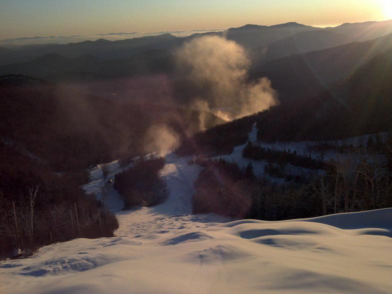
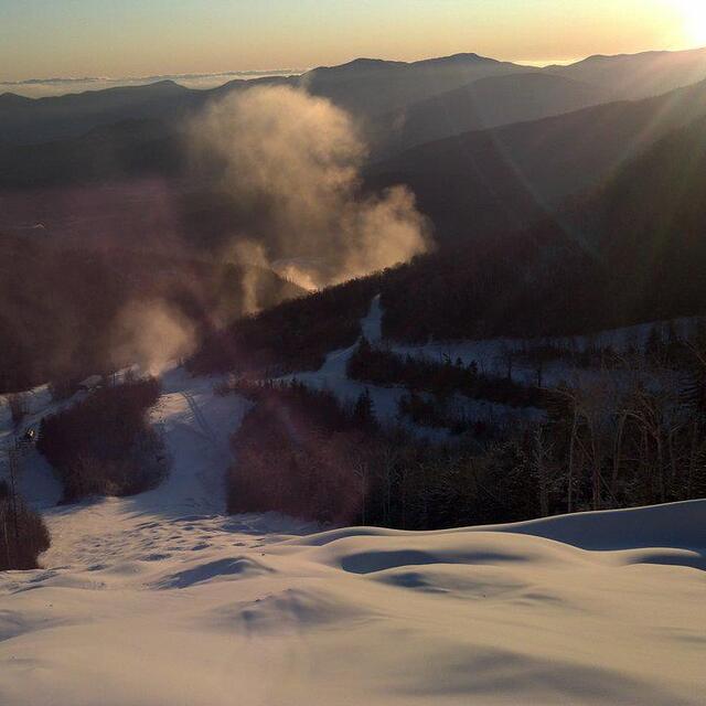
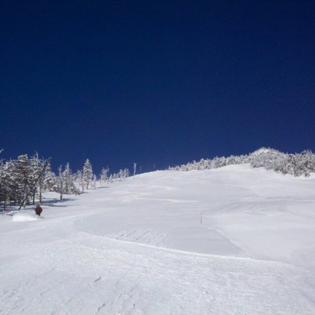
Latest snow reports near Whiteface Mountain (Lake Placid):
| Top snow depth: | 0 cm |
|---|---|
| Bottom snow depth: | 0 cm |
| Fresh snowfall depth: | — |
| Last snowfall: | 2 May 2026 |
| Snow Alerts | Create Alert |
0.0 | Bluebird Powder days Fresh snow, mostly sunny, light wind. |
|---|---|
0.5 | Powder days Fresh snow, limited sun, any wind. |
0.1 | Bluebird days Average snow, mostly sunny, light wind. |
The above table gives the weather forecast for Whiteface Mountain (Lake Placid) at the specific elevation of 1352 m. Our sophisticated weather models allow us to provide snow forecasts for the top, middle and bottom ski stations of Whiteface Mountain (Lake Placid). To access the weather forecasts for the other elevations, use the tab navigation above the table. For a wider view of the weather, check out the Weather Map of United States.
Click here to read further information on freezing levels and how we forecast our temperatures.
Resort name is also written as Whiteface Mountain.
Overall 3.8 Based on 21 votes and 5 reviews
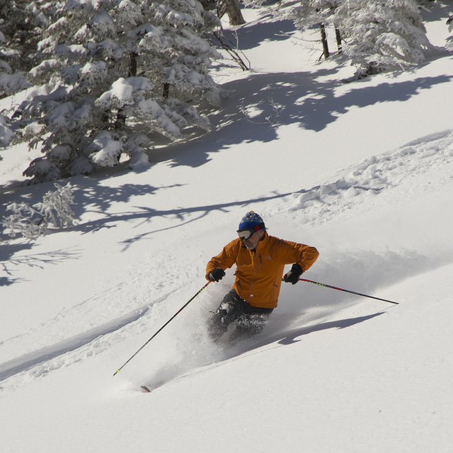
Whiteface is home to the greatest vertical drop east of the Rockies so undoubtley is one of the best if not the best ski resort in the Appalacians. When I went there last year there was plenty of snow (didn't stop snowing for 3 days!) and cold weather. The skiing mountain itself doesn't have any accommodation at the bottom (correct me if I'm wrong) but the nearby Olympic host Lake Placid town is a perfect base. The skiing is VERY good for the eastern seaboard as there is a massive variety and very good count of pistes for such an unknown resort. My favorite of which is the new Wilmington trail down the east of the mountain which is the newest trail coming up as it was only put up with a fast quad serving it and along with new trails such as 'look out below' (even for an experienced skiier was almost impossible with moguls the size of houses). Alll in all, Whiteface cannot be overlooked as a brilliant resort!
William from United Kingdom writes:
Whiteface is home to the greatest vertical drop east of the Rockies so undoubtley is one of the best if not the best ski resort in the Appalacians. When I went there last year there was plenty of snow (didn't stop snowing for 3 days!) and cold weather. The skiing mountain itself doesn't have any accommodation at the bottom (correct me if I'm wrong) but the nearby Olympic host Lake Placid town is a perfect base. The skiing is VERY good for the eastern seaboard as there is a massive variety and very good count of pistes for such an unknown resort. My favorite of which is the new Wilmington trail down the east of the mountain which is the newest trail coming up as it was only put up with a fast quad serving it and along with new trails such as 'look out below' (even for an experienced skiier was almost impossible with moguls the size of houses).
Alll in all, Whiteface cannot be overlooked as a brilliant resort!
Read 4 more reviews of Whiteface Mountain (Lake Placid) or submit your own


 Nearest