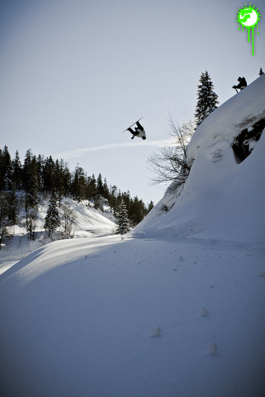


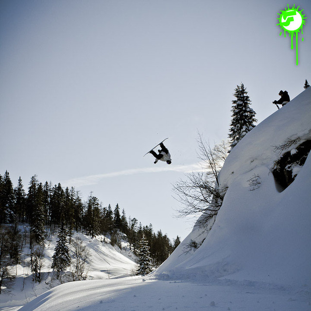
Global Weekly Snow Roundup #314
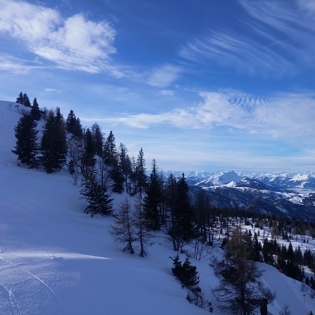
Weekly Global Snow News, updated 14 May 2026: Fresh snowfall in Argentina, Australia and Lesotho signals winter’s approach, while Japan maintains the world’s deepest snowpack.

Next 4 days weather summary:A light covering of new snow, mostly falling on Fri night. Becoming milder with light rain (total 5.0mm) on Mon afternoon. Freeze-thaw conditions (max 10°C on Mon afternoon, min 0°C on Fri night). Wind will be generally light. | Days 5-7 weather summary:Heavy rain (total 36.0mm), heaviest during Mon night. Very mild (max 10°C on Thu afternoon, min 4°C on Mon night). Wind will be generally light. | |||||||||||||||
Saturday 16 | Sunday 17 | Monday 18 | Tuesday 19 | Wednesday 20 | ||||||||||||
night | AM | PM | night | AM | PM | night | AM | PM | night | AM | PM | night | AM | PM | night | |
mod. snow | light snow | light snow | snow shwrs | clear | rain shwrs | rain shwrs | clear | risk thun- der | rain shwrs | light rain | light rain | light rain | light rain | light rain | light rain | |
km/h | ||||||||||||||||
Snow map |  |  |  |  |  |  | ||||||||||
7 | 2 | 1 | — | — | — | — | — | — | — | — | — | — | — | — | — | |
— | — | — | — | — | 1 | 1 | — | 3 | 11 | 1 | 2 | 5 | 2 | 3 | 5 | |
max °C | 2 | 0 | 2 | 2 | 4 | 8 | 7 | 9 | 10 | 6 | 6 | 8 | 7 | 7 | 8 | 9 |
min °C | 0 | 0 | 1 | 1 | 2 | 7 | 6 | 6 | 9 | 4 | 4 | 8 | 6 | 7 | 6 | 7 |
-3 | -3 | -1 | -1 | 2 | 7 | 5 | 6 | 9 | 3 | 4 | 8 | 4 | 6 | 4 | 6 | |
100 | 98 | 97 | 85 | 73 | 63 | 68 | 60 | 71 | 96 | 87 | 79 | 93 | 91 | 87 | 92 | |
1350 | 1350 | 1550 | 1650 | 2000 | 2300 | 2350 | 2450 | 2550 | 2100 | 2300 | 2500 | 2500 | 2450 | 2550 | 2500 | |
— | 5:31 | — | — | 5:30 | — | — | 5:28 | — | — | 5:28 | — | — | 5:26 | — | — | |
— | — | — | 8:40 | — | — | 8:42 | — | — | 8:43 | — | — | 8:44 | — | — | 8:45 | |
Latest snow reports near Waidring:
| Top snow depth: | — |
|---|---|
| Bottom snow depth: | — |
| Fresh snowfall depth: | 11 cm |
| Last snowfall: | 14 May 2026 |
| Snow Alerts | Create Alert |
0.0 | Bluebird Powder days Fresh snow, mostly sunny, light wind. |
|---|---|
0.1 | Powder days Fresh snow, limited sun, any wind. |
0.0 | Bluebird days Average snow, mostly sunny, light wind. |
The above table gives the weather forecast for Waidring at the specific elevation of 1340 m. Our sophisticated weather models allow us to provide snow forecasts for the top, middle and bottom ski stations of Waidring. To access the weather forecasts for the other elevations, use the tab navigation above the table. For a wider view of the weather, check out the Weather Map of Austria.
Click here to read further information on freezing levels and how we forecast our temperatures.
Overall 3.9 Based on 5 votes and 3 reviews
Skied here several times, during Feb/March, as the snow was so much better than most other resorts, in the region, this year but it was often very busy because of this. Steinplatte is a great area for blue run skiers and there are some runs where even the most timid of skiers can allow their skis to stay in the foreline. The slopes are very wide and the lifts are very modern. As a consequence, when it is busy you really have to watch your back as there can be a large number of technically poor skiers hammering down the hill and it is sometimes quite dangerous to finish your turns because of the risk of someone skiing into you from behind. On quieter days, weekdays in January and just before Easter it is an intermediates paradise. If it gets too busy or the visibility is poor you can ski down to Winklmoos, in Germany, and usually avoid the queues and ski on tree-lined runs. This has the best terrain I have ever seen for beginners and very timid skiers afraid of any gradient, and holds the snow very well. Pros: incredible terrain for timid skiers, usually the best snow conditions in the area, fast efficient lift system, easy to get to by car. Cons: often very busy, a lot of idiot skiers, during the holidays, skiing too fast for their ability, not enough mountain restaurants which can get over-crowded, prone to misty whiteout conditions (most of the skiing is above the tree line). Top tip: always ski here on a sunny weekday in low season.
Mark Gunston from United Kingdom writes:
Skied here several times, during Feb/March, as the snow was so much better than most other resorts, in the region, this year but it was often very busy because of this. Steinplatte is a great area for blue run skiers and there are some runs where even the most timid of skiers can allow their skis to stay in the foreline. The slopes are very wide and the lifts are very modern. As a consequence, when it is busy you really have to watch your back as there can be a large number of technically poor skiers hammering down the hill and it is sometimes quite dangerous to finish your turns because of the risk of someone skiing into you from behind. On quieter days, weekdays in January and just before Easter it is an intermediates paradise. If it gets too busy or the visibility is poor you can ski down to Winklmoos, in Germany, and usually avoid the queues and ski on tree-lined runs. This has the best terrain I have ever seen for beginners and very timid skiers afraid of any gradient, and holds the snow very well.
Pros: incredible terrain for timid skiers, usually the best snow conditions in the area, fast efficient lift system, easy to get to by car.
Cons: often very busy, a lot of idiot skiers, during the holidays, skiing too fast for their ability, not enough mountain restaurants which can get over-crowded, prone to misty whiteout conditions (most of the skiing is above the tree line).
Top tip: always ski here on a sunny weekday in low season.


 Nearest