

Global Weekly Snow Roundup #314
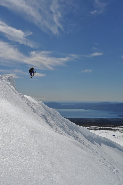
Weekly Global Snow News, updated 14 May 2026: Fresh snowfall in Argentina, Australia and Lesotho signals winter’s approach, while Japan maintains the world’s deepest snowpack.

Next 3 days weather summary:Mostly dry. Very mild (max 11°C on Sun afternoon, min 3°C on Sat morning). Wind will be generally light. | Days 4-6 weather summary:Mostly dry. Very mild (max 11°C on Thu night, min 9°C on Tue afternoon). Wind will be generally light. | |||||||||||||||||
Saturday 16 | Sunday 17 | Monday 18 | Tuesday 19 | Wednesday 20 | Thursday 21 | |||||||||||||
AM | PM | night | AM | PM | night | AM | PM | night | AM | PM | night | AM | PM | night | AM | PM | night | |
clear | clear | clear | clear | clear | clear | clear | clear | clear | clear | clear | clear | clear | clear | clear | clear | clear | clear | |
km/h | ||||||||||||||||||
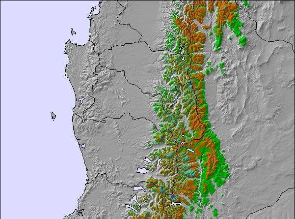
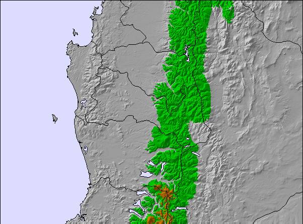
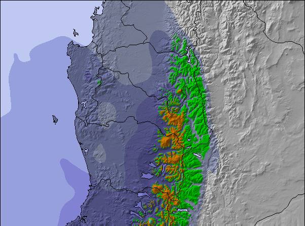
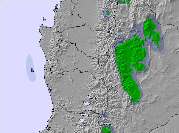
Snow map | 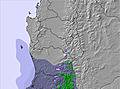 | 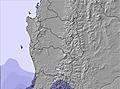 | 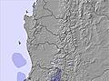 | 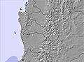 | 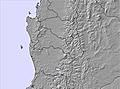 | 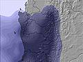 | ||||||||||||
— | — | — | — | — | — | — | — | — | — | — | — | — | — | — | — | — | — | |
— | — | — | — | — | — | — | — | — | — | — | — | — | — | — | — | — | — | |
max °C | 4 | 6 | 9 | 10 | 11 | 11 | 11 | 10 | 11 | 10 | 10 | 10 | 10 | 9 | 9 | 9 | 9 | 11 |
min °C | 3 | 5 | 6 | 10 | 10 | 11 | 11 | 10 | 10 | 10 | 9 | 10 | 10 | 9 | 9 | 9 | 9 | 10 |
0 | 2 | 3 | 8 | 8 | 10 | 11 | 10 | 9 | 8 | 6 | 7 | 7 | 6 | 7 | 9 | 9 | 10 | |
19 | 23 | 10 | 18 | 20 | 14 | 14 | 18 | 15 | 17 | 20 | 18 | 18 | 23 | 19 | 18 | 25 | 15 | |
2450 | 2900 | 3200 | 3350 | 3450 | 3600 | 3650 | 3650 | 3600 | 3500 | 3500 | 3650 | 3750 | 3700 | 3500 | 3500 | 3400 | 3500 | |
7:45 | — | — | 7:46 | — | — | 7:47 | — | — | 7:48 | — | — | 7:48 | — | — | 7:48 | — | — | |
— | 5:42 | — | — | 5:40 | — | — | 5:40 | — | — | 5:39 | — | — | 5:38 | — | — | 5:37 | — | |
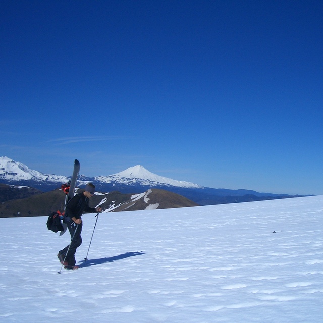
Latest snow reports near Villarrica-Pucon:
| Top snow depth: | 0 cm |
|---|---|
| Bottom snow depth: | 0 cm |
| Fresh snowfall depth: | — |
| Last snowfall: | 8 May 2026 |
| Snow Alerts | Create Alert |
0.6 | Bluebird Powder days Fresh snow, mostly sunny, light wind. |
|---|---|
0.6 | Powder days Fresh snow, limited sun, any wind. |
0.3 | Bluebird days Average snow, mostly sunny, light wind. |

The above table gives the weather forecast for Villarrica-Pucon at the specific elevation of 1720 m. Our sophisticated weather models allow us to provide snow forecasts for the top, middle and bottom ski stations of Villarrica-Pucon. To access the weather forecasts for the other elevations, use the tab navigation above the table. For a wider view of the weather, check out the Weather Map of Chile.
Click here to read further information on freezing levels and how we forecast our temperatures.
Overall 3.6 Based on 25 votes and 6 reviews
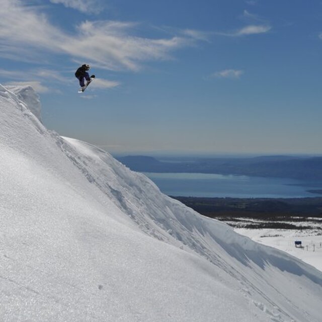
Not a ski area but a lift-accessed place where people can learn to ski. The only lift actually worth skiing is closed from a lack of maintenance and the rest have less than 200m vertical. So don't go there if you are already a skier and want to do some normal alpine downhill skiing. Backcountry is good but also dangerous if you are not experienced (fog, wind, ice etc). The concession gives the gambling hotel chain at the "Gran Hotel Pucon" administration rights of the ski area and they have no experience or desire to make it a real ski area. Pretty tho.
Camshaft from Chile writes:
Not a ski area but a lift-accessed place where people can learn to ski. The only lift actually worth skiing is closed from a lack of maintenance and the rest have less than 200m vertical. So don't go there if you are already a skier and want to do some normal alpine downhill skiing. Backcountry is good but also dangerous if you are not experienced (fog, wind, ice etc).
The concession gives the gambling hotel chain at the "Gran Hotel Pucon" administration rights of the ski area and they have no experience or desire to make it a real ski area. Pretty tho.

 Nearest