

Global Weekly Snow Roundup #314
Weekly Global Snow News, updated 14 May 2026: Fresh snowfall in Argentina, Australia and Lesotho signals winter’s approach, while Japan maintains the world’s deepest snowpack.

Next 3 days weather summary:Light rain (total 6.0mm), mostly falling on Sun afternoon. Freeze-thaw conditions (max 9°C on Mon afternoon, min -1°C on Sat morning). Wind will be generally light. | Days 4-6 weather summary:Light rain (total 4.0mm), mostly falling on Tue afternoon. Very mild (max 18°C on Thu afternoon, min 7°C on Tue morning). Wind will be generally light. | |||||||||||||||||
Saturday 16 | Sunday 17 | Monday 18 | Tuesday 19 | Wednesday 20 | Thursday 21 | |||||||||||||
AM | PM | night | AM | PM | night | AM | PM | night | AM | PM | night | AM | PM | night | AM | PM | night | |
some clouds | some clouds | some clouds | cloudy | risk thun- der | rain shwrs | cloudy | some clouds | cloudy | some clouds | light rain | rain shwrs | clear | clear | clear | clear | some clouds | rain shwrs | |
km/h | ||||||||||||||||||
Snow map |  |  |  |  |  |  | ||||||||||||
— | — | — | — | — | — | — | — | — | — | — | — | — | — | — | — | — | — | |
— | — | — | — | 3 | 3 | — | — | — | — | 2 | 1 | — | — | — | — | — | 1 | |
max °C | 1 | 5 | 4 | 4 | 6 | 4 | 6 | 9 | 9 | 9 | 11 | 11 | 13 | 16 | 15 | 16 | 18 | 17 |
min °C | -1 | 4 | 2 | 2 | 6 | 3 | 5 | 8 | 7 | 7 | 11 | 11 | 11 | 15 | 14 | 14 | 17 | 16 |
-6 | 1 | 2 | 2 | 6 | 3 | 2 | 5 | 4 | 5 | 10 | 10 | 10 | 15 | 14 | 13 | 17 | 16 | |
71 | 65 | 85 | 74 | 77 | 91 | 62 | 56 | 70 | 69 | 67 | 54 | 47 | 52 | 56 | 41 | 47 | 47 | |
2200 | 2600 | 2250 | 2350 | 2600 | 2350 | 2750 | 2850 | 2900 | 3000 | 3200 | 3350 | 3850 | 3750 | 3900 | 3950 | 4000 | 3850 | |
6:50 | — | — | 6:48 | — | — | 6:48 | — | — | 6:47 | — | — | 6:46 | — | — | 6:45 | — | — | |
— | — | 9:25 | — | — | 9:27 | — | — | 9:28 | — | — | 9:29 | — | — | 9:30 | — | — | 9:30 | |
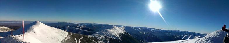
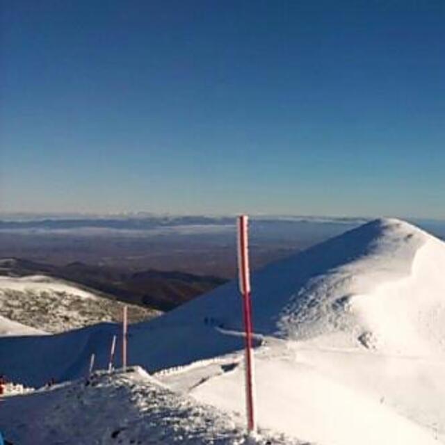
Latest snow reports near Valdezcaray:
| Top snow depth: | — |
|---|---|
| Bottom snow depth: | — |
| Fresh snowfall depth: | 8 cm |
| Last snowfall: | 15 May 2026 |
| Snow Alerts | Create Alert |
0.1 | Bluebird Powder days Fresh snow, mostly sunny, light wind. |
|---|---|
0.1 | Powder days Fresh snow, limited sun, any wind. |
0.1 | Bluebird days Average snow, mostly sunny, light wind. |
The above table gives the weather forecast for Valdezcaray at the specific elevation of 1827 m. Our sophisticated weather models allow us to provide snow forecasts for the top, middle and bottom ski stations of Valdezcaray. To access the weather forecasts for the other elevations, use the tab navigation above the table. For a wider view of the weather, check out the Weather Map of Spain.
Click here to read further information on freezing levels and how we forecast our temperatures.
Overall 3.3 Based on 30 votes and 5 reviews
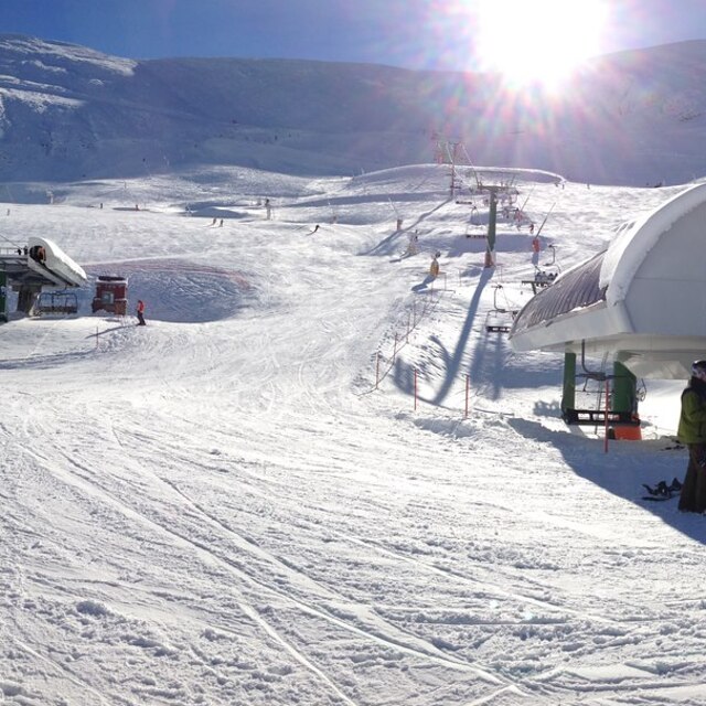
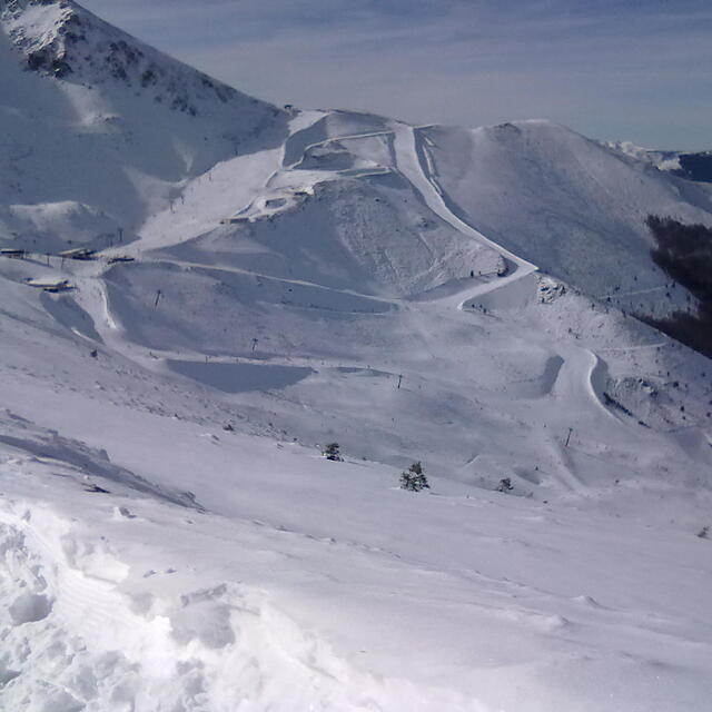
El complejo esquiable es de tamaño reducido y acogedor, con la incidencia del sol limitada a la mitad del área, lo que mantiene la nieve congelada hasta el mediodía. Las pistas ofrecen diversión sin demasiada dificultad, destacando la pista "La ese" como opción para esquiadores avanzados. Sugiero planificar una visita de un día, ya que para una estancia prolongada puede resultar demasiado pequeño. Además, es aconsejable verificar las condiciones meteorológicas en la <a href="https://radaraemet.com/">página web de AEMET</a> antes de la visita.
Ana from Spain writes:
El complejo esquiable es de tamaño reducido y acogedor, con la incidencia del sol limitada a la mitad del área, lo que mantiene la nieve congelada hasta el mediodía. Las pistas ofrecen diversión sin demasiada dificultad, destacando la pista "La ese" como opción para esquiadores avanzados. Sugiero planificar una visita de un día, ya que para una estancia prolongada puede resultar demasiado pequeño. Además, es aconsejable verificar las condiciones meteorológicas en la <a href="https://radaraemet.com/">página web de AEMET</a> antes de la visita.


 Nearest