The snow forecast for Valdezcaray is: A heavy fall of snow, heaviest during Fri night. Becoming milder with light rain (total 3.0mm) on Sun morning. Freeze-thaw conditions (max 4°C on Sat afternoon, min 0°C on Fri night). Wind will be generally light.
Valdezcaray Weather (Next 3 days): The snow forecast for Valdezcaray is: A heavy fall of snow, heaviest during Fri night. Becoming milder with light rain (total 3.0mm) on Sun morning. Freeze-thaw conditions (max 4°C on Sat afternoon, min 0°C on Fri night). Wind will be generally light.
Valdezcaray Weather (Days 4-6): Mild at first with light rain (total 3.0mm) on Mon morning followed by colder weather and light fall of snow, heaviest on Tue morning. Freeze-thaw conditions (max 4°C on Mon afternoon, min -3°C on Wed night). Wind will be generally light.
Issued by Snow-Forecast.com at:12 pm (local time) / 06 Mar 2026
Valdezcaray Weather
(Next 3 days):
The snow forecast for Valdezcaray is: A heavy fall of snow, heaviest during Fri night. Becoming milder with light rain (total 3.0mm) on Sun morning. Freeze-thaw conditions (max 4°C on Sat afternoon, min 0°C on Fri night). Wind will be generally light.
Valdezcaray Weather (Days 4-6):
Mild at first with light rain (total 3.0mm) on Mon morning followed by colder weather and light fall of snow, heaviest on Tue morning. Freeze-thaw conditions (max 4°C on Mon afternoon, min -3°C on Wed night). Wind will be generally light.
Valdezcaray Weather (Days 7-16):
Interested in the 16-day Forecast? Unlock the full forecast and many more features by becoming a Pro member.
A heavy fall of snow, heaviest during Fri night. Becoming milder with light rain (total 3.0mm) on Sun morning. Freeze-thaw conditions (max 4°C on Sat afternoon, min 0°C on Fri night). Wind will be generally light.
Next 4-6 days weather summary:
Mild at first with light rain (total 3.0mm) on Mon morning followed by colder weather and light fall of snow, heaviest on Tue morning. Freeze-thaw conditions (max 4°C on Mon afternoon, min -3°C on Wed night). Wind will be generally light.
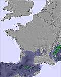
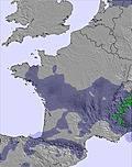
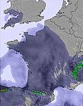
The above table gives the weather forecast for Valdezcaray at the specific elevation of 1530 m. Our sophisticated weather models allow us to provide snow forecasts for the top, middle and bottom ski stations of Valdezcaray. To access the weather forecasts for the other elevations, use the tab navigation above the table. For a wider view of the weather, check out the Weather Map of Spain.
Click here to read further information on freezing levels and how we forecast our temperatures.
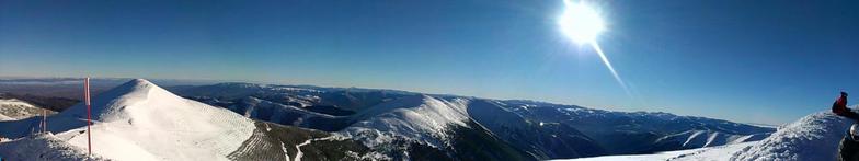
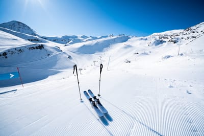
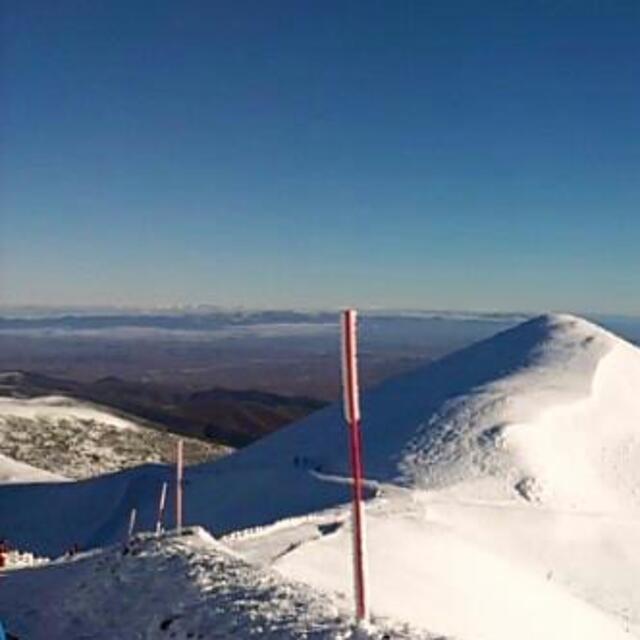
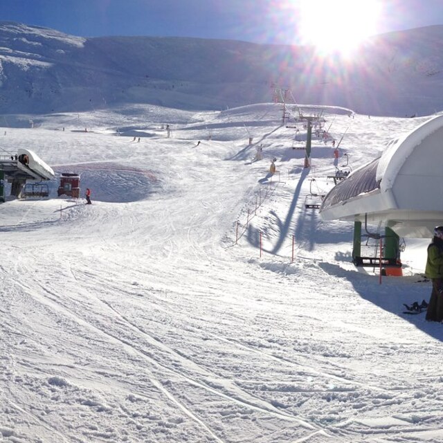
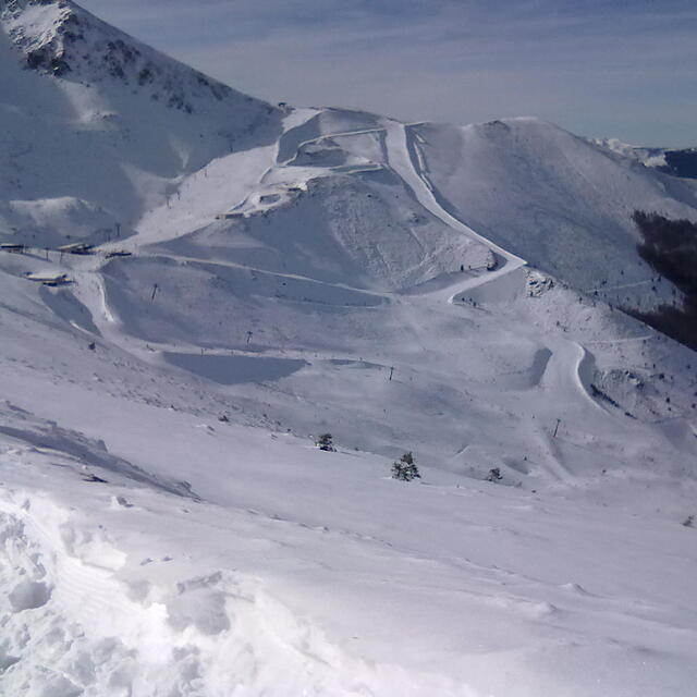
Valdezcaray is the only skiing option in Rioja (culinary capital of Spain 2012) and the closest to Burgos (culinary capital of Spain, 2013). It's a high, northern-facing area which is worth a day trip or a weekend staying in Ezcaray, a buzzing little village at the base of the mountain with amazing food, huge history and architecture, a superb Michelin starred restaurant.
It's worth going just and only when the top lift is open too, which, despite what one might think, is not the most common as, despite being higher, frequent high winds keep it closed or with tracks blown off from snow.
When snow pack is consistent, fantastic off-piste can be found on the west-facing, sunny side of the resort and towards the tip of San Lorenzo peak (for the more adventurous).
It's not particularly expensive and they also cut prices when not all the terrain is open.
If you are going to rent the gear you better make sure you get it from some of the places in the village, because the rental place at the resort has only creepy stuff for the very beginner, but nothing if you need decent or better stuff.
It has no snow park and that's a big negative point because for a small resort like this it would add a lot of interest and possibilities of having fun when climate or snow conditions are not the best.
Free Snow-Forecast.com weather widget for your website
Embed the Valdezcaray weather widget on your site for free. It provides a weekly snapshot of snow and rain conditions across all elevations. Follow the two quick steps to grab your custom code and paste it into your site. Choose between metric or imperial units. Click here to get the code.


 Nearest