

Global Weekly Snow Roundup #314
Weekly Global Snow News, updated 14 May 2026: Fresh snowfall in Argentina, Australia and Lesotho signals winter’s approach, while Japan maintains the world’s deepest snowpack.

Next 3 days weather summary:A moderate fall of snow, heaviest on Mon night. Temperatures will be below freezing (max -5°C on Sun afternoon, min -11°C on Sat morning). Wind will be generally light. | Days 4-6 weather summary:A dusting of new snow. Freeze-thaw conditions (max 2°C on Thu afternoon, min -5°C on Tue morning). Wind will be generally light. | |||||||||||||||||
Saturday 16 | Sunday 17 | Monday 18 | Tuesday 19 | Wednesday 20 | Thursday 21 | |||||||||||||
AM | PM | night | AM | PM | night | AM | PM | night | AM | PM | night | AM | PM | night | AM | PM | night | |
light snow | snow shwrs | snow shwrs | clear | light snow | light snow | light snow | light snow | mod. snow | some clouds | light snow | light snow | some clouds | snow shwrs | snow shwrs | clear | clear | clear | |
km/h | ||||||||||||||||||
Snow map |  |  |  |  |  |  | ||||||||||||
1 | — | — | — | — | 1 | 1 | 2 | 6 | — | — | — | — | — | — | — | — | — | |
— | — | — | — | — | — | — | — | — | — | — | — | — | — | — | — | — | — | |
max °C | -10 | -9 | -8 | -8 | -5 | -5 | -6 | -5 | -5 | -5 | -3 | -3 | -3 | -1 | -1 | -1 | 2 | 2 |
min °C | -11 | -9 | -9 | -8 | -6 | -6 | -7 | -5 | -6 | -5 | -3 | -3 | -3 | -2 | -1 | -1 | 1 | 2 |
-17 | -14 | -14 | -8 | -9 | -9 | -10 | -9 | -8 | -9 | -3 | -3 | -6 | -5 | -4 | -4 | -2 | 0 | |
83 | 76 | 55 | 67 | 89 | 95 | 88 | 92 | 95 | 86 | 87 | 95 | 88 | 74 | 69 | 73 | 58 | 40 | |
1900 | 2100 | 1150 | 2200 | 2500 | 2200 | 2350 | 2550 | 2200 | 2550 | 2850 | 2650 | 2800 | 3100 | 3050 | 3100 | 3550 | 3500 | |
5:41 | — | — | 5:39 | — | — | 5:39 | — | — | 5:37 | — | — | 5:37 | — | — | 5:35 | — | — | |
— | — | 8:44 | — | — | 8:45 | — | — | 8:46 | — | — | 8:47 | — | — | 8:49 | — | — | 8:50 | |
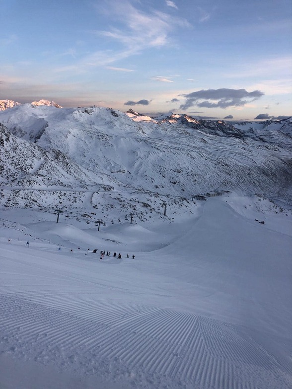
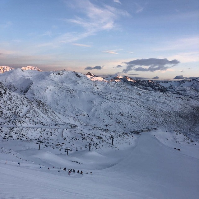
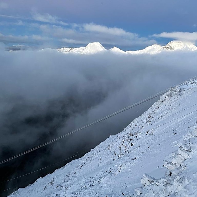
Latest snow reports near Val Senales (Schnalstal):
| Top snow depth: | — |
|---|---|
| Bottom snow depth: | — |
| Fresh snowfall depth: | 40 cm |
| Last snowfall: | 15 May 2026 |
| Snow Alerts | Create Alert |
0.5 | Bluebird Powder days Fresh snow, mostly sunny, light wind. |
|---|---|
1.8 | Powder days Fresh snow, limited sun, any wind. |
1.3 | Bluebird days Average snow, mostly sunny, light wind. |
The above table gives the weather forecast for Val Senales (Schnalstal) at the specific elevation of 3200 m. Our sophisticated weather models allow us to provide snow forecasts for the top, middle and bottom ski stations of Val Senales (Schnalstal). To access the weather forecasts for the other elevations, use the tab navigation above the table. For a wider view of the weather, check out the Weather Map of Italy.
Click here to read further information on freezing levels and how we forecast our temperatures.
Resort name is also written as Val Senales.
Overall 4.4 Based on 15 votes and 2 reviews
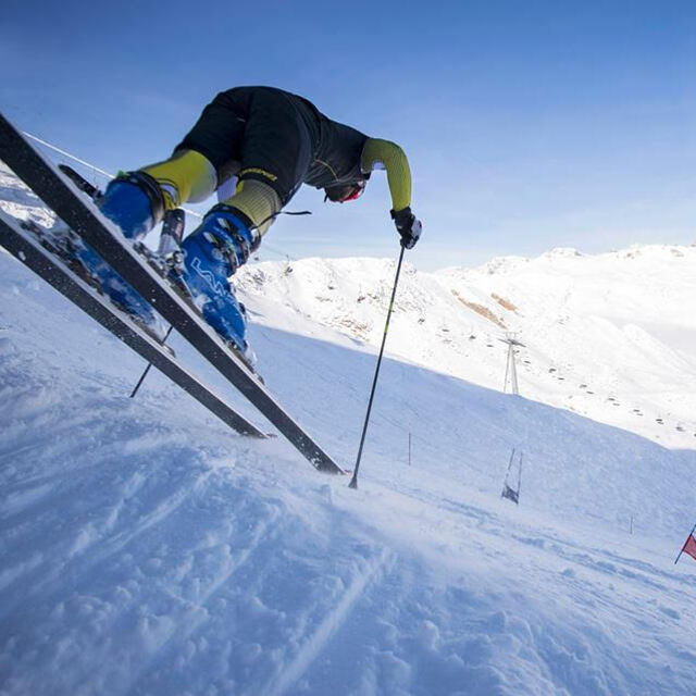
Early season sking/snowboarding a big plus very icy though (who'd guess, its a glacier!) would be much better later in season, but too many other fantastic lacations near by in Italy and Austria to compete with. Does have a terrain park. Found myself spending nearly the entire day at the park.
timmay from United States writes:
Early season sking/snowboarding a big plus very icy though (who'd guess, its a glacier!) would be much better later in season, but too many other fantastic lacations near by in Italy and Austria to compete with. Does have a terrain park. Found myself spending nearly the entire day at the park.
Read 1 more reviews of Val Senales (Schnalstal) or submit your own


 Nearest