
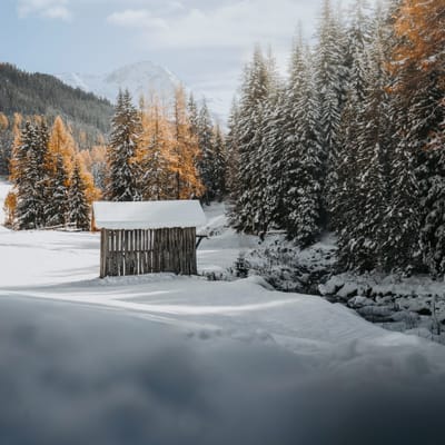
Alpine Classics Davos & Kitzbühel Starting 25-26 Seasons This Weekend
Classic ski resorts Kitzbühel in the Austrian Tirol and Davos Klosters in the Swiss alps have announced they’re starting their 25-26 seasons this weekend.
By using Snow-Forecast, you agree to our Terms & Services.
Don't have an account? Join now
Alternatively, you can now use your Outside account to sign in to any brand in the Outside digital ecosystem, including Snow-Forecast, Surf-Forecast, and Mountain-Forecast.


Treble Cone Weather (Next 3 days): The snow forecast for Treble Cone is: Heavy rain (total 24.0mm), heaviest during Mon morning. Mild temperatures (max 5°C on Sun morning, min 2°C on Sat night). Winds decreasing (strong winds from the NNW on Sun night, light winds from the WNW by Mon night).
Treble Cone Weather (Days 4-6): Drizzle on Thu afternoon followed by colder weather and a heavy fall of snow, heaviest during Fri morning. Freeze-thaw conditions (max 6°C on Tue afternoon, min -2°C on Thu night). Winds increasing (calm on Tue afternoon, gales from the NW by Fri morning).
| Resort | Snow Depth | Temp. (°C) | Wind (km/h) | Weather | ||
|---|---|---|---|---|---|---|
| Top Lift: | 0.0 m | 2 | ||||
| Middle Lift: | 3 | |||||
| Bottom Lift: | 0.0 m | 4 |
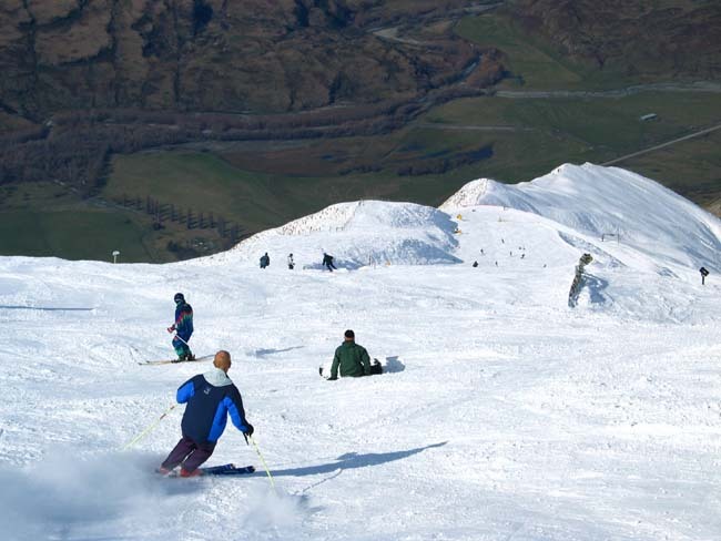
Latest snow reports near Treble Cone:

Sat 8 | Sunday 9 | Monday 10 | Tuesday 11 | Wednesday 12 | Thursday 13 | Friday 14 | ||||||||||||||
PM | night | AM | PM | night | AM | PM | night | AM | PM | night | AM | PM | night | AM | PM | night | AM | PM | night | |
rain shwrs | some clouds | some clouds | some clouds | mod. rain | mod. rain | rain shwrs | some clouds | rain shwrs | cloudy | some clouds | some clouds | some clouds | snow shwrs | snow shwrs | rain shwrs | snow shwrs | heavy snow | heavy snow | mod. snow | |
km/h | ||||||||||||||||||||
Snow map |  |  | 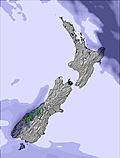 | 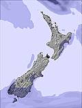 | 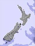 | 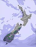 | 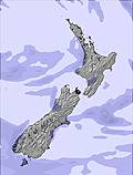 | |||||||||||||
— | — | — | — | — | — | — | — | — | — | — | — | — | — | — | — | 12 | 17 | 11 | 9 | |
1 | — | — | — | 9 | 9 | 4 | — | 1 | — | — | — | — | — | — | 1 | — | — | — | — | |
max°C | 3 | 3 | 5 | 5 | 3 | 5 | 4 | 3 | 4 | 6 | 4 | 4 | 5 | 2 | 1 | 3 | 0 | -1 | -3 | -4 |
min°C | 3 | 2 | 3 | 3 | 2 | 4 | 4 | 2 | 3 | 6 | 2 | 3 | 4 | 0 | 1 | 3 | -2 | -1 | -3 | -5 |
-3 | -3 | -1 | -2 | -4 | -2 | -1 | -1 | 0 | 5 | -2 | -1 | 0 | -4 | -3 | -1 | -11 | -10 | -11 | -12 | |
87 | 82 | 65 | 58 | 94 | 99 | 70 | 87 | 68 | 52 | 54 | 45 | 53 | 81 | 75 | 60 | 94 | 97 | 96 | 97 | |
2500 | 2450 | 2600 | 2700 | 2500 | 2800 | 2550 | 2400 | 2400 | 2600 | 2350 | 2350 | 2500 | 2150 | 2100 | 2250 | 1850 | 1850 | 1450 | 1250 | |
— | — | 6:13 | — | — | 6:13 | — | — | 6:11 | — | — | 6:09 | — | — | 6:09 | — | — | 6:07 | — | — | |
8:40 | — | — | 8:42 | — | — | 8:44 | — | — | 8:45 | — | — | 8:45 | — | — | 8:47 | — | — | 8:49 | — | |
Heavy rain (total 24.0mm), heaviest during Mon morning. Mild temperatures (max 5°C on Sun morning, min 2°C on Sat night). Winds decreasing (strong winds from the NNW on Sun night, light winds from the WNW by Mon night).
Drizzle on Thu afternoon followed by colder weather and a heavy fall of snow, heaviest during Fri morning. Freeze-thaw conditions (max 6°C on Tue afternoon, min -2°C on Thu night). Winds increasing (calm on Tue afternoon, gales from the NW by Fri morning).
Latest snow reports near Treble Cone:
| Top snow depth: | 0 cm |
|---|---|
| Bottom snow depth: | 0 cm |
| Fresh snowfall depth: | — |
| Last snowfall: | 30 Oct 2025 |
| Snow Alerts | Create Alert |
0.3 | Bluebird Powder days Fresh snow, mostly sunny, light wind. |
|---|---|
0.7 | Powder days Fresh snow, limited sun, any wind. |
0.2 | Bluebird days Average snow, mostly sunny, light wind. |
The above table gives the weather forecast for Treble Cone at the specific elevation of 1960 m. Our sophisticated weather models allow us to provide snow forecasts for the top, middle and bottom ski stations of Treble Cone. To access the weather forecasts for the other elevations, use the tab navigation above the table. For a wider view of the weather, check out the Weather Map of New Zealand.
Click here to read further information on freezing levels and how we forecast our temperatures.
Overall 3.7 Based on 25 votes and 10 reviews
Stop calling your ski mountains fields! Fields are flat and are used for growing plants. New Zealanders, throw off the British term and start calling your resorts something else.
Jamie from Vanuatu writes:
Stop calling your ski mountains fields! Fields are flat and are used for growing plants. New Zealanders, throw off the British term and start calling your resorts something else.
The Treble Cone skiing weather widget is available to embed on external websites free of charge. It provides a daily summary of our Treble Cone snow forecast and current weather conditions. Simply go to the feed configuration page and follow the 3 simple steps to grab the custom html code snippet and paste it into your own site. You can choose the snow forecast elevation (summit, mid-mountain or bottom lift) and metric/imperial units for the snow forecast feed to suit your own website…. Click here to get the code.
View detailed snow forecast for Treble Cone at:
snow-forecast.com


 Nearest