

Global Weekly Snow Roundup #314
Weekly Global Snow News, updated 14 May 2026: Fresh snowfall in Argentina, Australia and Lesotho signals winter’s approach, while Japan maintains the world’s deepest snowpack.

Next 3 days weather summary:Moderate rain (total 11.0mm), heaviest on Sat night. Mild temperatures (max 5°C on Sat morning, min 1°C on Fri night). Winds decreasing (fresh winds from the WSW on Sun morning, calm by Sun night). | Days 4-6 weather summary:Moderate rain (total 14.0mm), heaviest on Wed morning. Very mild (max 11°C on Wed afternoon, min 5°C on Mon morning). Winds increasing (calm on Mon morning, strong winds from the WSW by Wed afternoon). | |||||||||||||||||
Friday 15 | Saturday 16 | Sunday 17 | Monday 18 | Tuesday 19 | Wednesday 20 | |||||||||||||
AM | PM | night | AM | PM | night | AM | PM | night | AM | PM | night | AM | PM | night | AM | PM | night | |
cloudy | light rain | light rain | light rain | light rain | light rain | light rain | light rain | some clouds | rain shwrs | rain shwrs | light rain | light rain | rain shwrs | light rain | light rain | rain shwrs | cloudy | |
km/h | ||||||||||||||||||
Snow map | 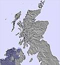 |  | 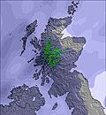 | 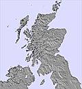 | 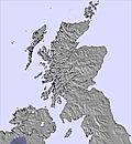 | 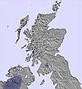 | ||||||||||||
— | — | — | — | — | — | — | — | — | — | — | — | — | — | — | — | — | — | |
— | 2 | 1 | 1 | 1 | 3 | 1 | 2 | — | 2 | 1 | 1 | 2 | 2 | 1 | 3 | 2 | — | |
max °C | 4 | 4 | 3 | 5 | 5 | 5 | 5 | 5 | 4 | 7 | 7 | 6 | 9 | 10 | 9 | 10 | 11 | 10 |
min °C | 2 | 3 | 1 | 3 | 4 | 3 | 4 | 5 | 3 | 5 | 7 | 5 | 7 | 10 | 9 | 9 | 11 | 9 |
-3 | -1 | -1 | 1 | 0 | -2 | -1 | 0 | 0 | 4 | 4 | 1 | 3 | 7 | 5 | 5 | 7 | 7 | |
80 | 86 | 88 | 77 | 88 | 94 | 81 | 82 | 92 | 81 | 78 | 83 | 97 | 84 | 93 | 96 | 90 | 97 | |
850 | 1100 | 950 | 1050 | 1300 | 1350 | 1100 | 1250 | 1250 | 1300 | 1600 | 1750 | 2200 | 2200 | 2450 | 2350 | 2600 | 3200 | |
5:03 | — | — | 5:01 | — | — | 5:00 | — | — | 4:58 | — | — | 4:56 | — | — | 4:54 | — | — | |
— | 9:07 | — | — | 9:08 | — | — | 9:10 | — | — | 9:12 | — | — | 9:14 | — | — | 9:15 | — | |
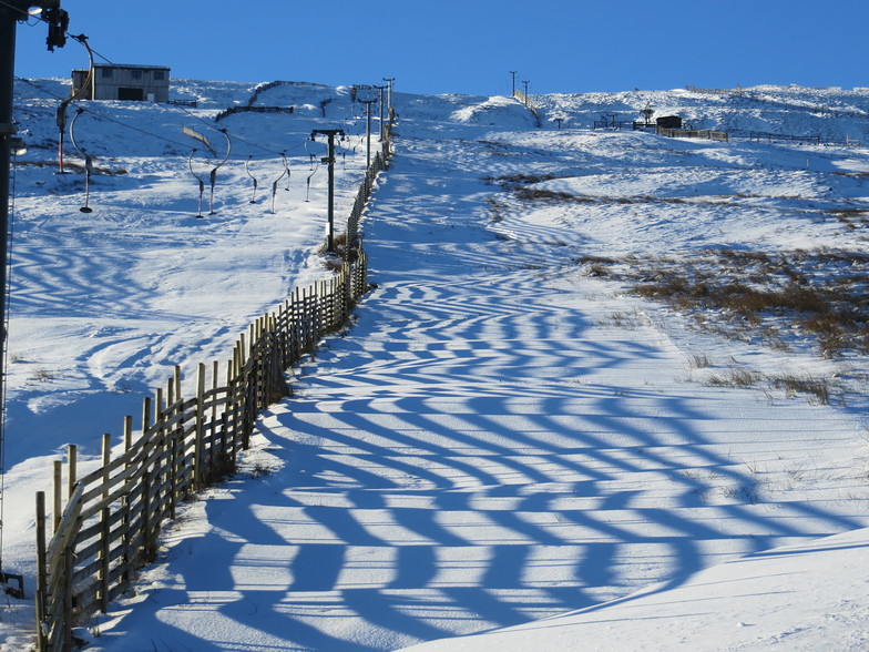
Latest snow reports near Weardale Ski Club:
| Top snow depth: | — |
|---|---|
| Bottom snow depth: | — |
| Fresh snowfall depth: | — |
| Last snowfall: | 12 May 2026 |
| Snow Alerts | Create Alert |
0.0 | Bluebird Powder days Fresh snow, mostly sunny, light wind. |
|---|---|
0.1 | Powder days Fresh snow, limited sun, any wind. |
0.0 | Bluebird days Average snow, mostly sunny, light wind. |


The above table gives the weather forecast for Weardale Ski Club at the specific elevation of 655 m. Our sophisticated weather models allow us to provide snow forecasts for the top, middle and bottom ski stations of Weardale Ski Club. To access the weather forecasts for the other elevations, use the tab navigation above the table. For a wider view of the weather, check out the Weather Map of United Kingdom.
Click here to read further information on freezing levels and how we forecast our temperatures.
Overall 2.6 Based on 5 votes and 7 reviews
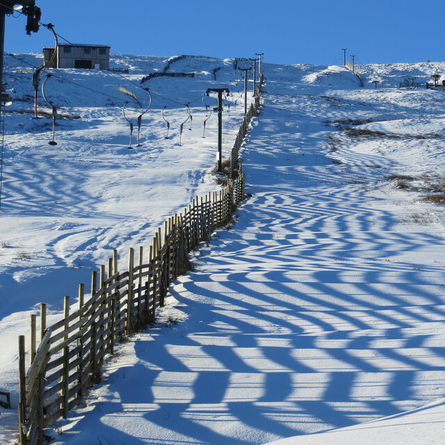
First patches of snow arriving 2nd December. Lets hope this season is as good as the last 2. New this season is the "M1" piste which was created last year and also the portable tow lift that will be used in addition to the 2 permanent Poma tows when conditions allow. This portable tow opens up the bowl to more exploration with less walking! Please note that membership is full but we do take day members (£20 for an adult) on weekdays - please print off a day membership form from the website. Please also note that we do not allow day members at weekends - these are reserved for members only. The road to the slopes can be tricky if there is much snow or ice - sometimes chains are essential so check the answerphone (01388 527527) before traveling which will give details of road conditions but remember these can change quickly. Alawys pack a shovel and park diagonally close to the fence. More info on the website including webcam. Happy skiing.
steve lumb from United Kingdom writes:
First patches of snow arriving 2nd December. Lets hope this season is as good as the last 2. New this season is the "M1" piste which was created last year and also the portable tow lift that will be used in addition to the 2 permanent Poma tows when conditions allow. This portable tow opens up the bowl to more exploration with less walking!
Please note that membership is full but we do take day members (£20 for an adult) on weekdays - please print off a day membership form from the website. Please also note that we do not allow day members at weekends - these are reserved for members only.
The road to the slopes can be tricky if there is much snow or ice - sometimes chains are essential so check the answerphone (01388 527527) before traveling which will give details of road conditions but remember these can change quickly. Alawys pack a shovel and park diagonally close to the fence. More info on the website including webcam.
Happy skiing.


 Nearest