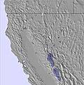
The snow forecast for Palisades Tahoe is: Mostly dry. Freeze-thaw conditions (max 9°C on Sun morning, min -3°C on Fri afternoon). Winds decreasing (near gales from the ENE on Sat morning, light winds from the NW by Sun morning).
Palisades Tahoe Weather (Next 3 days): The snow forecast for Palisades Tahoe is: Mostly dry. Freeze-thaw conditions (max 9°C on Sun morning, min -3°C on Fri afternoon). Winds decreasing (near gales from the ENE on Sat morning, light winds from the NW by Sun morning).
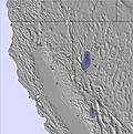
Palisades Tahoe Weather (Days 4-6): Mostly dry. Mild temperatures (max 8°C on Wed morning, min 3°C on Mon afternoon). Wind will be generally light.
Issued by Snow-Forecast.com at:3 am (local time) / 06 Mar 2026
Palisades Tahoe Weather
(Next 3 days):
The snow forecast for Palisades Tahoe is: Mostly dry. Freeze-thaw conditions (max 9°C on Sun morning, min -3°C on Fri afternoon). Winds decreasing (near gales from the ENE on Sat morning, light winds from the NW by Sun morning).
Palisades Tahoe Weather (Days 4-6):
Mostly dry. Mild temperatures (max 8°C on Wed morning, min 3°C on Mon afternoon). Wind will be generally light.
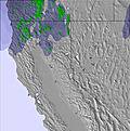
Palisades Tahoe Weather (Days 7-16):
Interested in the 16-day Forecast? Unlock the full forecast and many more features by becoming a Pro member.
Mostly dry. Freeze-thaw conditions (max 9°C on Sun morning, min -3°C on Fri afternoon). Winds decreasing (near gales from the ENE on Sat morning, light winds from the NW by Sun morning).
Next 4-6 days weather summary:
Mostly dry. Mild temperatures (max 8°C on Wed morning, min 3°C on Mon afternoon). Wind will be generally light.
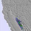
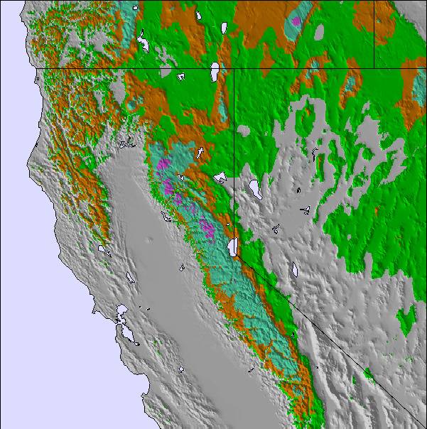
The above table gives the weather forecast for Palisades Tahoe at the specific elevation of 2743 m. Our sophisticated weather models allow us to provide snow forecasts for the top, middle and bottom ski stations of Palisades Tahoe. To access the weather forecasts for the other elevations, use the tab navigation above the table. For a wider view of the weather, check out the Weather Map of United States.
Click here to read further information on freezing levels and how we forecast our temperatures.
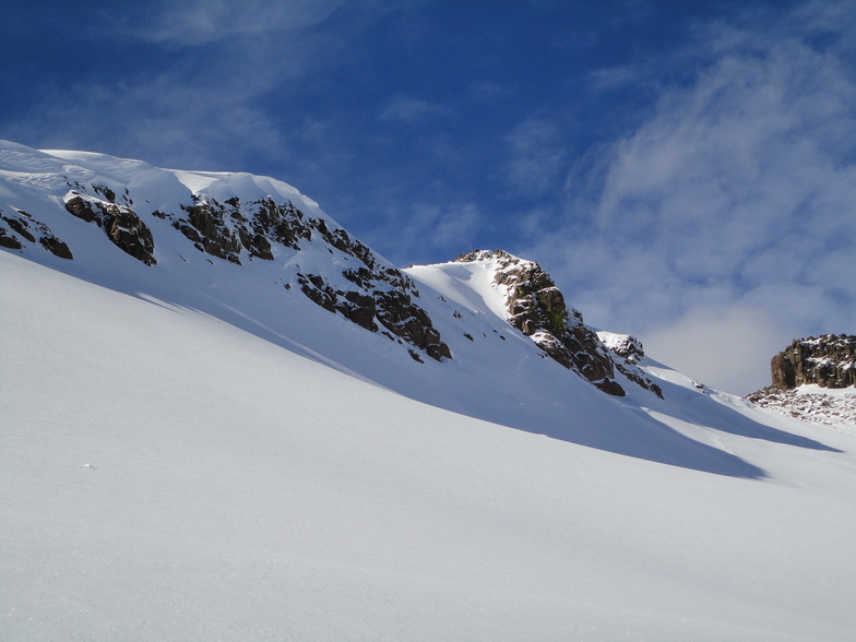
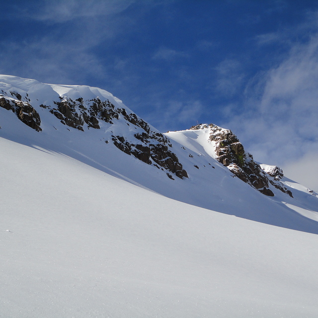
No question that Lake Tahoe has a lot going for it. Northern Lake Tahoe is beautiful, has a laid back vibe and, sporadically, gets epic snowfall (although, be warned, you can also go weeks or even months without a snowflake plus fresh snow turns to concrete pretty quickly here).
Squaw, unfortunately, is way overhyped and overpriced. While it definitely has some steep terrain, anyone who calls this a "big mountain" hasn't skied a big mountain:
- the overall ski area feels pretty small: small compared to Vail and downright tiny compared to most important European ski resorts.
- while some runs and chutes are definitely steep and expert-only, the vertical is way too low to make for a true Alpine feel: Yes, you can jump a cliff, but a "big mountain" to a free rider means 5,000 vertical, hidden itineraries, glaciers... Of course, we all know Squaw doesn't have any of this but what is it with all the hype?
- the lift system is incredibly outdated, there can be bad lift lines and the lift ticket pricing is outrageous! I haven't checked recently but am pretty sure you can ski Zermatt or Chamonix at a cheaper daily rate than Squaw Valley!
Tahoe at its best is beautiful, laid back and non-pretentious. Alpine Meadows used to be a great example: a small area, yes, but a great vibe, beautiful vistas, even an outdoor grill in the back bowl to soak in the sun rays between powder runs. Squaw, on the other hand, sacrificed some of those qualities in a misguided and unsuccessful effort to hype itself as more than it can ever be.
All this said: Skiing in California is a LOT of fun!
Free Snow-Forecast.com weather widget for your website
Embed the Palisades Tahoe weather widget on your site for free. It provides a weekly snapshot of snow and rain conditions across all elevations. Follow the two quick steps to grab your custom code and paste it into your site. Choose between metric or imperial units. Click here to get the code.


 Nearest