


View forecast
Palisades Tahoe at 2308 m altitude
Issued by Snow-Forecast.com at: 4 pm (local time) / 16 Apr 2024
Now
Tue 16 | Wednesday 17 | Thursday 18 | Friday 19 | Saturday 20 | Sunday 21 | Monday 22 | ||||||||||||||
PM | night | AM | PM | night | AM | PM | night | AM | PM | night | AM | PM | night | AM | PM | night | AM | PM | night | |
some clouds | clear | some clouds | some clouds | clear | clear | clear | cloudy | some clouds | some clouds | rain shwrs | some clouds | clear | clear | clear | clear | clear | clear | clear | clear | |
km/h | ||||||||||||||||||||
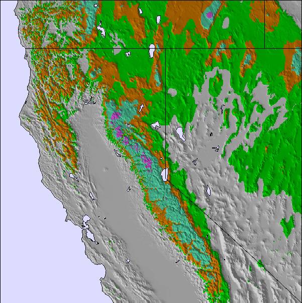
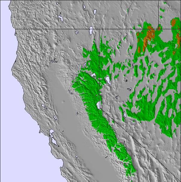
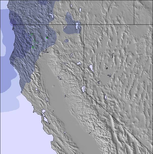
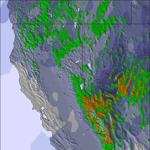
Snow map |  | 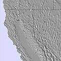 | 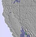 | 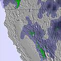 | 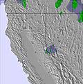 | 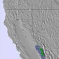 | 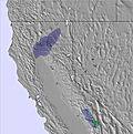 | |||||||||||||
— | — | — | — | — | — | — | — | — | — | — | — | — | — | — | — | — | — | — | — | |
— | — | — | — | — | — | — | — | — | — | 1.0 | — | — | — | — | — | — | — | — | — | |
max°C | 8 | 5 | 7 | 9 | 6 | 9 | 10 | 6 | 9 | 11 | 8 | 10 | 12 | 9 | 12 | 13 | 10 | 11 | 11 | 7 |
min°C | 8 | 3 | 5 | 9 | 4 | 6 | 9 | 6 | 7 | 10 | 6 | 7 | 11 | 8 | 10 | 12 | 7 | 9 | 9 | 4 |
6 | -2 | 1 | 6 | 1 | 3 | 6 | 3 | 7 | 8 | 5 | 6 | 10 | 7 | 8 | 10 | 4 | 6 | 6 | -1 | |
52 | 60 | 48 | 54 | 48 | 40 | 50 | 41 | 38 | 61 | 48 | 36 | 59 | 62 | 29 | 41 | 45 | 34 | 62 | 57 | |
3550 | 3400 | 3250 | 3400 | 3450 | 3350 | 3450 | 3450 | 3450 | 3550 | 3650 | 3500 | 3700 | 3850 | 3850 | 3850 | 3850 | 3700 | 3500 | 3300 | |
— | — | 6:20 | — | — | 6:18 | — | — | 6:16 | — | — | 6:16 | — | — | 6:13 | — | — | 6:13 | — | — | |
7:39 | — | — | 7:40 | — | — | 7:42 | — | — | 7:43 | — | — | 7:44 | — | — | 7:45 | — | — | 7:45 | — | |
Next 0-3 days weather summary:
Mostly dry. Very mild (max 10°C on Thu afternoon, min 3°C on Tue night). Wind will be generally light.
Next 4-6 days weather summary:
Some drizzle, heaviest during Fri night. Very mild (max 13°C on Sun afternoon, min 6°C on Fri night). Wind will be generally light.
Popular Palisades Tahoe Pages
Snow Radar
Latest snow reports near Palisades Tahoe:
Palisades Tahoe Snow Conditions
| Top snow depth: | 366 cm |
|---|---|
| Bottom snow depth: | 66 cm |
| Fresh snowfall depth: | 7 cm |
| Last snowfall: | 14 Apr 2024 |
| Snow Alerts | Create Alert |
Other resorts in USA - California are reporting: powder (0) / good piste (0)
Snow-Forecast Partner Offers
Show your business here
Snow History
Week 3 of April has on average:
0.1 | Bluebird Powder days Fresh snow, mostly sunny, light wind. |
|---|---|
0.7 | Powder days Fresh snow, limited sun, any wind. |
0.5 | Bluebird days Average snow, mostly sunny, light wind. |
Palisades Tahoe Forecast Snowfall
Photos of Palisades Tahoe
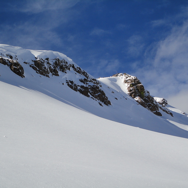
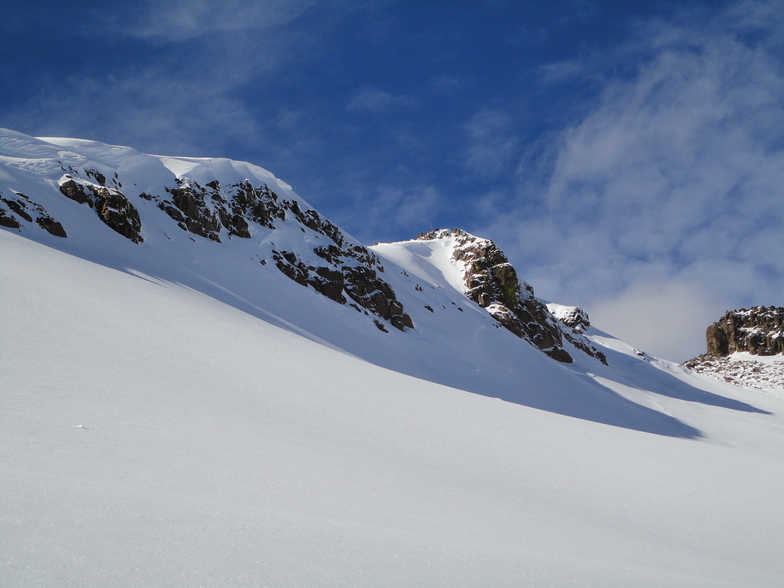
Squaw Peak by Tom
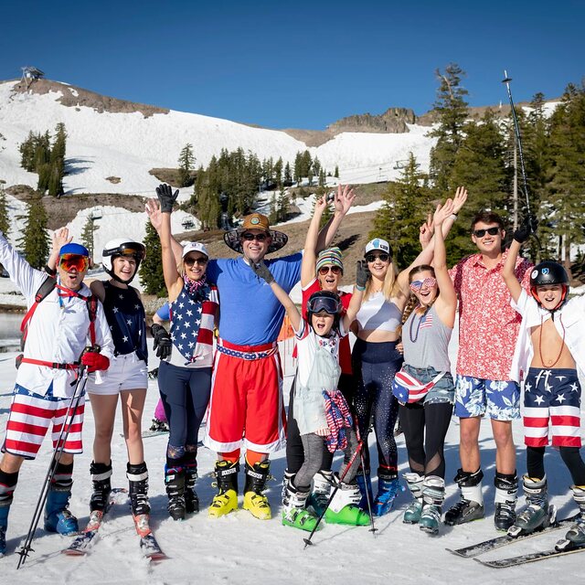
4th July. by Snow Forecast Admin
Staying open until 7th July 2019. by Snow Forecast Admin
Other resorts in USA - California are reporting: powder (0) / good piste (0)
The above table gives the weather forecast for Palisades Tahoe at the specific elevation of 2308 m. Our sophisticated weather models allow us to provide snow forecasts for the top, middle and bottom ski stations of Palisades Tahoe. To access the weather forecasts for the other elevations, use the tab navigation above the table. For a wider view of the weather, check out the Weather Map of United States.
Click here to read further information on freezing levels and how we forecast our temperatures.
Resort name is also written as Squaw Valley.
Visitor Reviews of Palisades Tahoe
Overall 4.4 Based on 8 votes and 5 reviews
- Snowsure
- Variety of pistes
- Vote
- Squawheaded from United States writes:
Spring skiing with less crowds is the bright spot of Squaw. Other than spring, Squaw sucks with small terrain and big egos accompanying big crowds.
Visitor Reviews of Palisades Tahoe
Squawheaded from United States writes:
Spring skiing with less crowds is the bright spot of Squaw. Other than spring, Squaw sucks with small terrain and big egos accompanying big
crowds.
Free Snow-Forecast.com weather widget for your website
The Palisades Tahoe skiing weather widget is available to embed on external websites free of charge. It provides a daily summary of our Palisades Tahoe snow forecast and current weather conditions. Simply go to the feed configuration page and follow the 3 simple steps to grab the custom html code snippet and paste it into your own site. You can choose the snow forecast elevation (summit, mid-mountain or bottom lift) and metric/imperial units for the snow forecast feed to suit your own website…. Click here to get the code.
View detailed snow forecast for Palisades Tahoe at:
snow-forecast.com

 Nearest