

Global Weekly Snow Roundup #314
Weekly Global Snow News, updated 14 May 2026: Fresh snowfall in Argentina, Australia and Lesotho signals winter’s approach, while Japan maintains the world’s deepest snowpack.

Next 3 days weather summary:Light rain (total 2.0mm), mostly falling on Mon night. Warm (max 24°C on Mon afternoon, min 14°C on Sat morning). Winds decreasing (strong winds from the W on Sat night, light winds from the SW by Sun night). | Days 4-6 weather summary:Heavy rain (total 28.0mm), heaviest during Wed night. Warm (max 23°C on Tue afternoon, min 11°C on Thu night). Wind will be generally light. | |||||||||||||||||
Saturday 16 | Sunday 17 | Monday 18 | Tuesday 19 | Wednesday 20 | Thursday 21 | |||||||||||||
AM | PM | night | AM | PM | night | AM | PM | night | AM | PM | night | AM | PM | night | AM | PM | night | |
clear | cloudy | cloudy | some clouds | some clouds | clear | clear | clear | rain shwrs | clear | some clouds | rain shwrs | some clouds | risk thun- der | rain shwrs | light rain | light rain | light rain | |
km/h | ||||||||||||||||||
Snow map |  |  |  |  |  |  | ||||||||||||
— | — | — | — | — | — | — | — | — | — | — | — | — | — | — | — | — | — | |
— | — | — | — | — | — | — | — | 2 | — | — | 1 | — | 4 | 14 | 2 | 2 | 5 | |
max °C | 17 | 18 | 16 | 18 | 22 | 21 | 21 | 24 | 19 | 20 | 23 | 22 | 19 | 19 | 18 | 15 | 15 | 13 |
min °C | 14 | 17 | 14 | 16 | 21 | 19 | 19 | 23 | 18 | 18 | 23 | 17 | 18 | 18 | 15 | 14 | 14 | 11 |
12 | 15 | 11 | 14 | 21 | 18 | 19 | 23 | 17 | 17 | 23 | 16 | 17 | 17 | 13 | 13 | 13 | 11 | |
55 | 69 | 91 | 62 | 44 | 64 | 55 | 35 | 62 | 55 | 40 | 70 | 64 | 69 | 92 | 99 | 98 | 100 | |
3900 | 3500 | 3800 | 3850 | 3950 | 4200 | 4200 | 4150 | 4200 | 4200 | 4100 | 4050 | 4050 | 4150 | 4050 | 4000 | 4000 | 3650 | |
6:07 | — | — | 6:07 | — | — | 6:05 | — | — | 6:05 | — | — | 6:03 | — | — | 6:03 | — | — | |
— | — | 8:24 | — | — | 8:24 | — | — | 8:25 | — | — | 8:27 | — | — | 8:28 | — | — | 8:29 | |
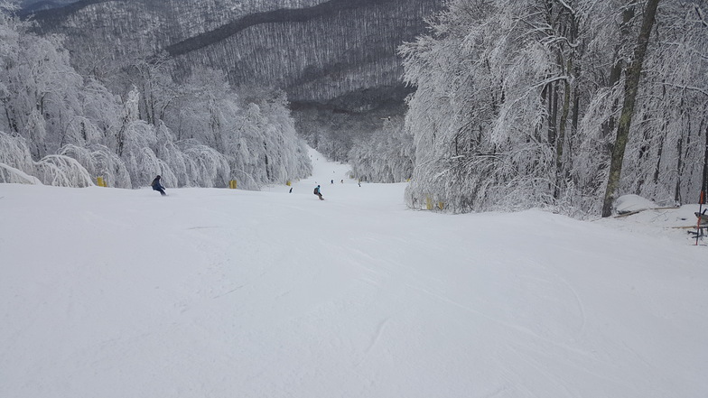
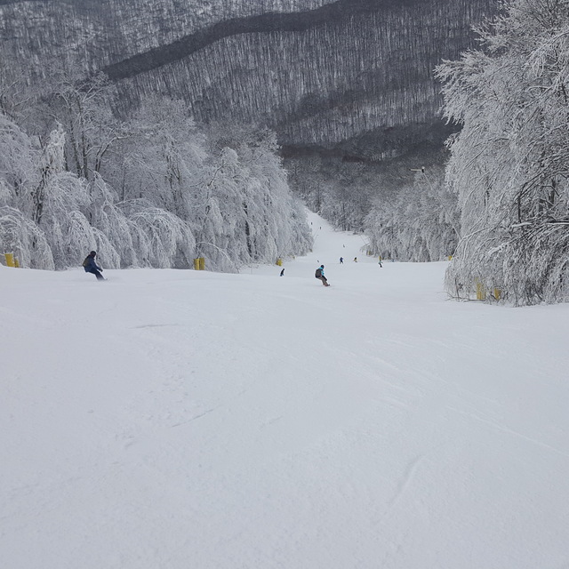
Latest snow reports near Snowshoe Mountain Resort:
| Top snow depth: | 0 cm |
|---|---|
| Bottom snow depth: | 0 cm |
| Fresh snowfall depth: | — |
| Last snowfall: | 20 Apr 2026 |
| Snow Alerts | Create Alert |
0.0 | Bluebird Powder days Fresh snow, mostly sunny, light wind. |
|---|---|
0.0 | Powder days Fresh snow, limited sun, any wind. |
0.0 | Bluebird days Average snow, mostly sunny, light wind. |
The above table gives the weather forecast for Snowshoe Mountain Resort at the specific elevation of 1248 m. Our sophisticated weather models allow us to provide snow forecasts for the top, middle and bottom ski stations of Snowshoe Mountain Resort. To access the weather forecasts for the other elevations, use the tab navigation above the table. For a wider view of the weather, check out the Weather Map of United States.
Click here to read further information on freezing levels and how we forecast our temperatures.
Overall 3.6 Based on 15 votes and 5 reviews
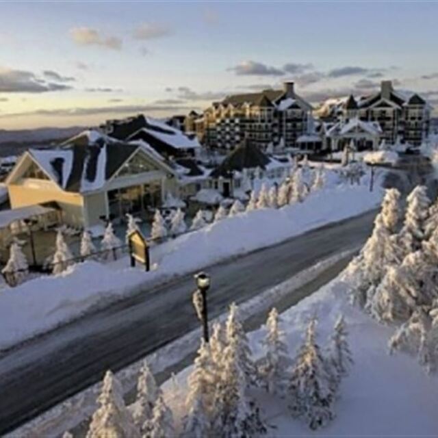
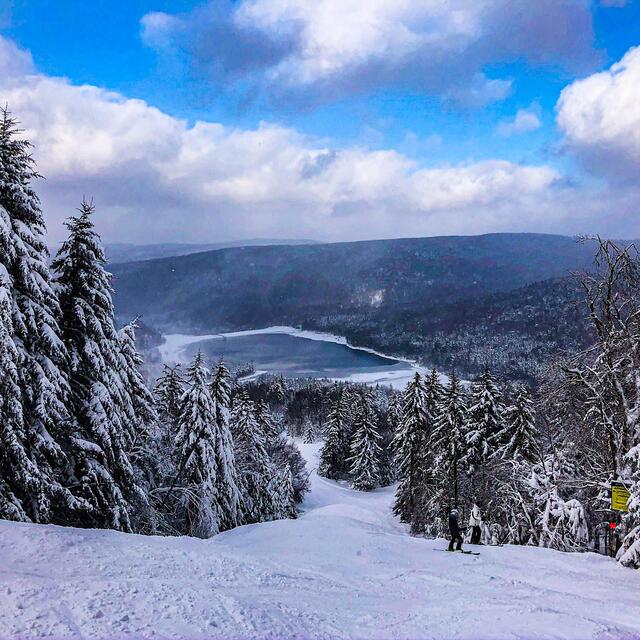
It is a good mountain comparing it to surrounding mountains but is falling behind. No new lifts in what seems to be decades. Ballhooter lift is in major need of an upgrade, as just about everything ends there. Ballhooter lift breaks down frequently and needs to be much more than a 4 person. Lift staff are very nice though. Eating options are great, from cheat mountain to even a Starbucks, anyone could find something to eat here. Along with this, the resort is struggling with snow. It is doing better than regional resorts, of course. But, it had an average of 160 inches of snow a year, and only got 30 this year, and 90 last year. And snow-making has not always been able to keep up. Glades are amazing when open. Take Knot Bumper glades for example. Steep at the top, flowy in the bottom, with some jumps mixed in. And you can find powder stashes weeks after a storm in any of the glades, marked and unmarked.
rergi from United States writes:
It is a good mountain comparing it to surrounding mountains but is falling behind. No new lifts in what seems to be decades. Ballhooter lift is in major need of an upgrade, as just about everything ends there. Ballhooter lift breaks down frequently and needs to be much more than a 4 person. Lift staff are very nice though. Eating options are great, from cheat mountain to even a Starbucks, anyone could find something to eat here. Along with this, the resort is struggling with snow. It is doing better than regional resorts, of course. But, it had an average of 160 inches of snow a year, and only got 30 this year, and 90 last year. And snow-making has not always been able to keep up. Glades are amazing when open. Take Knot Bumper glades for example. Steep at the top, flowy in the bottom, with some jumps mixed in. And you can find powder stashes weeks after a storm in any of the glades, marked and unmarked.
Read 4 more reviews of Snowshoe Mountain Resort or submit your own


 Nearest