

Global Weekly Snow Roundup #314
Weekly Global Snow News, updated 14 May 2026: Fresh snowfall in Argentina, Australia and Lesotho signals winter’s approach, while Japan maintains the world’s deepest snowpack.

Next 4 days weather summary:A light covering of new snow, mostly falling on Sun night. Freeze-thaw conditions (max 7°C on Fri night, min -5°C on Sun night). Winds increasing (calm on Sun morning, near gales from the ENE by Sun night). | Days 5-7 weather summary:A dusting of new snow. Freeze-thaw conditions (max 9°C on Thu afternoon, min -3°C on Mon night). Wind will be generally light. | |||||||||||||||
Saturday 16 | Sunday 17 | Monday 18 | Tuesday 19 | Wednesday 20 | ||||||||||||
night | AM | PM | night | AM | PM | night | AM | PM | night | AM | PM | night | AM | PM | night | |
clear | cloudy | cloudy | some clouds | light snow | light snow | light snow | light snow | light snow | cloudy | light snow | snow shwrs | some clouds | cloudy | clear | clear | |
km/h | ||||||||||||||||
Snow map |  |  |  |  |  |  | ||||||||||
— | — | — | — | — | 2 | 4 | — | 1 | — | 1 | — | — | — | — | — | |
— | — | — | — | — | — | — | — | — | — | — | — | — | — | — | — | |
max °C | 7 | 6 | 3 | 0 | -3 | -2 | -3 | -5 | -3 | -2 | -1 | 1 | 1 | 2 | 4 | 4 |
min °C | 5 | 5 | 2 | -2 | -3 | -4 | -5 | -5 | -4 | -3 | -2 | 0 | 0 | 1 | 3 | 4 |
3 | 1 | -3 | -6 | -5 | -7 | -16 | -14 | -8 | -8 | -6 | -4 | -4 | -3 | -1 | 2 | |
33 | 30 | 59 | 68 | 67 | 96 | 98 | 87 | 93 | 71 | 60 | 61 | 60 | 65 | 49 | 49 | |
3750 | 3650 | 3200 | 2800 | 2400 | 2200 | 2400 | 2150 | 2400 | 2500 | 2600 | 2850 | 2850 | 2950 | 3250 | 3500 | |
— | 6:07 | — | — | 6:07 | — | — | 6:05 | — | — | 6:05 | — | — | 6:03 | — | — | |
— | — | 8:38 | — | — | 8:39 | — | — | 8:40 | — | — | 8:42 | — | — | 8:43 | — | |
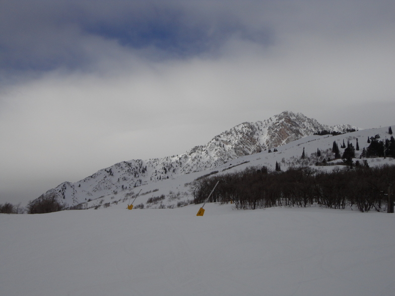
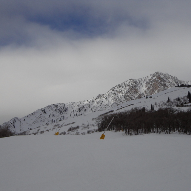
Latest snow reports near Snowbasin:
| Top snow depth: | 0 cm |
|---|---|
| Bottom snow depth: | 0 cm |
| Fresh snowfall depth: | — |
| Last snowfall: | 26 Apr 2026 |
| Snow Alerts | Create Alert |
0.3 | Bluebird Powder days Fresh snow, mostly sunny, light wind. |
|---|---|
0.4 | Powder days Fresh snow, limited sun, any wind. |
0.1 | Bluebird days Average snow, mostly sunny, light wind. |
The above table gives the weather forecast for Snowbasin at the specific elevation of 2838 m. Our sophisticated weather models allow us to provide snow forecasts for the top, middle and bottom ski stations of Snowbasin. To access the weather forecasts for the other elevations, use the tab navigation above the table. For a wider view of the weather, check out the Weather Map of United States.
Click here to read further information on freezing levels and how we forecast our temperatures.
Overall 3.8 Based on 13 votes and 7 reviews
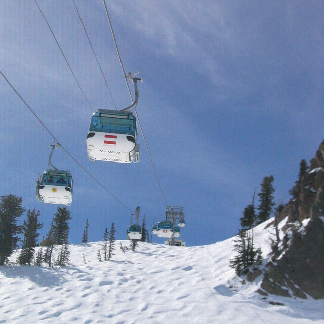
Snowbasin is an unbelievable mountain. It's huge, has great lifts & gondola service, and amazing dining on the mountain thanks to the Salt Lake Olympics a few years back. One caution is that windy days can tend to shut down Strawberry Lift which accesses some incredible, huge, open bowl skiing. The view off the back of Strawberry Lift is absolutlely amazing - something every skier should see at least once. The only downside is that there is no lodging on the montain. A good B&B in nearby Huntsville (try the Atomic Chalet, ask for Wes) is the best way to go. Otherwise, you have to drive in from Ogden.
Chris F from United States writes:
Snowbasin is an unbelievable mountain. It's huge, has great lifts & gondola service, and amazing dining on the mountain thanks to the Salt Lake Olympics a few years back. One caution is that windy days can tend to shut down Strawberry Lift which accesses some incredible, huge, open bowl skiing. The view off the back of Strawberry Lift is absolutlely amazing - something every skier should see at least once.
The only downside is that there is no lodging on the montain. A good B&B in nearby Huntsville (try the Atomic Chalet, ask for Wes) is the best way to go. Otherwise, you have to drive in from Ogden.


 Nearest