


Global Weekly Snow Roundup #314
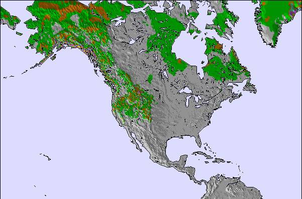
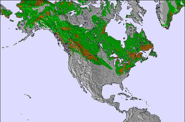
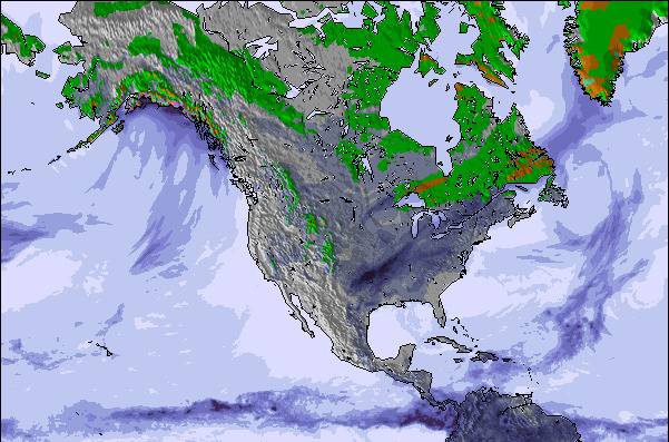
Weekly Global Snow News, updated 14 May 2026: Fresh snowfall in Argentina, Australia and Lesotho signals winter’s approach, while Japan maintains the world’s deepest snowpack.

Next 3 days weather summary:Light rain (total 3.0mm), mostly falling on Sun afternoon. Very mild (max 18°C on Sun afternoon, min 6°C on Sun night). Winds decreasing (fresh winds from the NW on Sun night, calm by Mon night). | Days 4-6 weather summary:Moderate rain (total 15.0mm), heaviest on Wed night. Warm (max 24°C on Wed afternoon, min 6°C on Thu night). Winds decreasing (fresh winds from the WSW on Tue morning, calm by Thu night). | |||||||||||||||||
Saturday 16 | Sunday 17 | Monday 18 | Tuesday 19 | Wednesday 20 | Thursday 21 | |||||||||||||
AM | PM | night | AM | PM | night | AM | PM | night | AM | PM | night | AM | PM | night | AM | PM | night | |
some clouds | cloudy | cloudy | clear | rain shwrs | rain shwrs | clear | some clouds | some clouds | some clouds | rain shwrs | rain shwrs | some clouds | risk thun- der | mod. rain | some clouds | some clouds | some clouds | |
km/h | ||||||||||||||||||
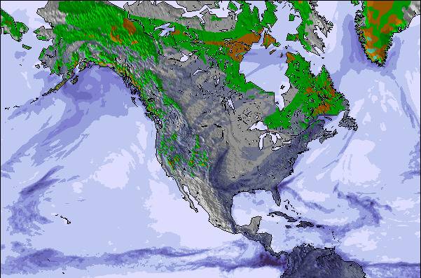
Snow map | 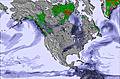 |  |  |  |  |  | ||||||||||||
— | — | — | — | — | — | — | — | — | — | — | — | — | — | — | — | — | — | |
— | — | — | — | 2 | 1 | — | — | — | — | 2 | 2 | — | 1 | 10 | — | — | — | |
max °C | 15 | 16 | 14 | 17 | 18 | 10 | 10 | 12 | 11 | 18 | 21 | 16 | 22 | 24 | 17 | 8 | 10 | 9 |
min °C | 11 | 16 | 11 | 12 | 15 | 6 | 8 | 12 | 9 | 13 | 17 | 15 | 19 | 22 | 8 | 8 | 9 | 6 |
8 | 15 | 8 | 10 | 14 | 2 | 4 | 10 | 6 | 10 | 16 | 14 | 19 | 22 | 4 | 4 | 6 | 4 | |
68 | 60 | 73 | 84 | 58 | 44 | 42 | 28 | 53 | 58 | 66 | 91 | 78 | 65 | 93 | 61 | 56 | 52 | |
2200 | 2500 | 3250 | 3050 | 2600 | 2100 | 2500 | 3500 | 3700 | 4000 | 3800 | 4200 | 4050 | 4100 | 3750 | 3150 | 1400 | 1500 | |
5:41 | — | — | 5:41 | — | — | 5:39 | — | — | 5:39 | — | — | 5:37 | — | — | 5:37 | — | — | |
— | 8:38 | — | — | 8:39 | — | — | 8:40 | — | — | 8:42 | — | — | 8:43 | — | — | 8:44 | — | |
Latest snow reports near Ski Wentworth:
| Top snow depth: | — |
|---|---|
| Bottom snow depth: | — |
| Fresh snowfall depth: | — |
| Last snowfall: | 3 May 2026 |
| Snow Alerts | Create Alert |
0.0 | Bluebird Powder days Fresh snow, mostly sunny, light wind. |
|---|---|
0.0 | Powder days Fresh snow, limited sun, any wind. |
0.0 | Bluebird days Average snow, mostly sunny, light wind. |
The above table gives the weather forecast for Ski Wentworth at the specific elevation of 302 m. Our sophisticated weather models allow us to provide snow forecasts for the top, middle and bottom ski stations of Ski Wentworth. To access the weather forecasts for the other elevations, use the tab navigation above the table. For a wider view of the weather, check out the Weather Map of Canada.
Click here to read further information on freezing levels and how we forecast our temperatures.
Overall 3.1 Based on 5 votes and 2 reviews
I discovered Ski Wentworth during a beautiful sunny day. I must admit I had a wonderful day there. Of course the vertical drop is not comparable to Chamonix or Whistler but it offers some really nice and diverse slopes all very well groomed. The lift system (a quad chairlift, a T bar and a magic carpet) even if a bit slow is able to distribute all the skiers and snowboarders on the different trails without waiting time. Even if this was a busy Sunday we had the feeling to be alone on the trails. The Lodge is a very large but warm place to enjoy a hot chocolate or your own tea and cookies while unfreezing your feet. The cafeteria is a self-service offering different delicious meals. The Ducky's bar is also a nice place to enjoy a small après-ski drink with a nice view on the slopes. The rental shop is well organized but all the skis are probably more than 5 years old and were not really well maintained. If you want to enjoy the nice winter weekends skiing in Nova Scotia, Ski Wentworth worth the money.
Jean-Marc Glaude from France writes:
I discovered Ski Wentworth during a beautiful sunny day. I must admit I had a wonderful day there. Of course the vertical drop is not comparable to Chamonix or Whistler but it offers some really nice and diverse slopes all very well groomed. The lift system (a quad chairlift, a T bar and a magic carpet) even if a bit slow is able to distribute all the skiers and snowboarders on the different trails without waiting time. Even if this was a busy Sunday we had the feeling to be alone on the trails.
The Lodge is a very large but warm place to enjoy a hot chocolate or your own tea and cookies while unfreezing your feet. The cafeteria is a self-service offering different delicious meals. The Ducky's bar is also a nice place to enjoy a small après-ski drink with a nice view on the slopes.
The rental shop is well organized but all the skis are probably more than 5 years old and were not really well maintained.
If you want to enjoy the nice winter weekends skiing in Nova Scotia, Ski Wentworth worth the money.

 Nearest