

Global Weekly Snow Roundup #314
Weekly Global Snow News, updated 14 May 2026: Fresh snowfall in Argentina, Australia and Lesotho signals winter’s approach, while Japan maintains the world’s deepest snowpack.

Next 3 days weather summary:Light rain (total 4.0mm), mostly falling on Sun afternoon. Mild temperatures (max 9°C on Mon afternoon, min 1°C on Sat morning). Wind will be generally light. | Days 4-6 weather summary:Mostly dry. Very mild (max 16°C on Thu afternoon, min 5°C on Tue morning). Wind will be generally light. | |||||||||||||||||
Saturday 16 | Sunday 17 | Monday 18 | Tuesday 19 | Wednesday 20 | Thursday 21 | |||||||||||||
AM | PM | night | AM | PM | night | AM | PM | night | AM | PM | night | AM | PM | night | AM | PM | night | |
clear | some clouds | some clouds | cloudy | light rain | rain shwrs | some clouds | some clouds | some clouds | clear | some clouds | some clouds | clear | clear | clear | clear | clear | clear | |
km/h | ||||||||||||||||||
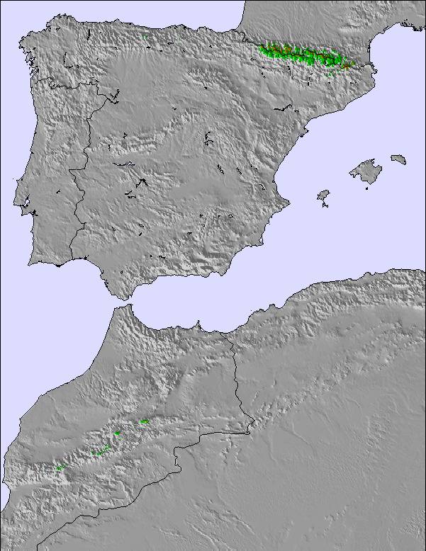
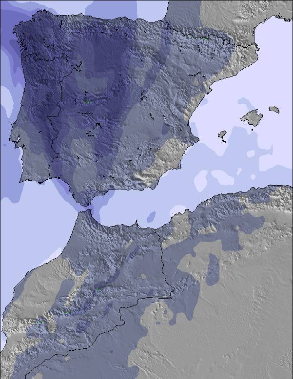
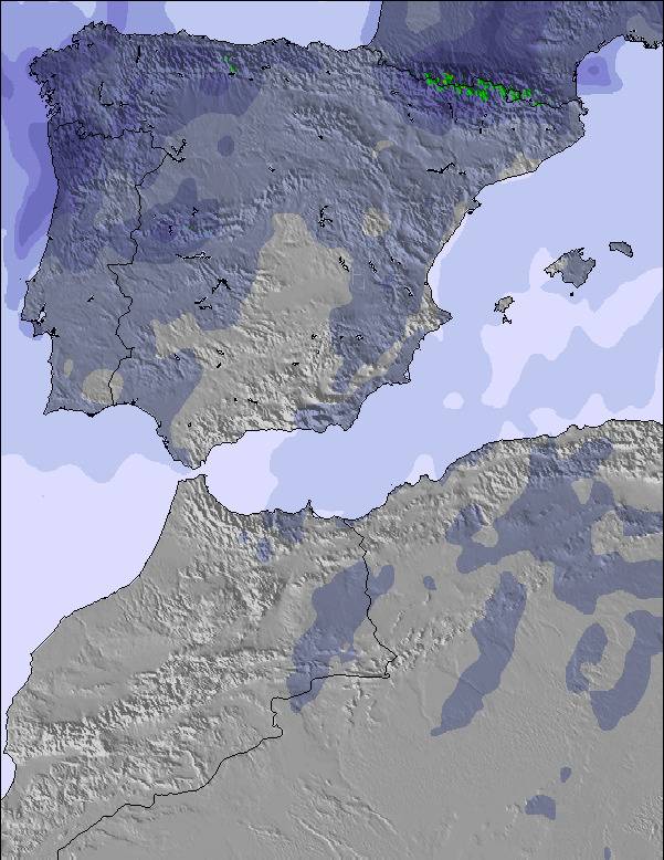
Snow map | 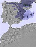 | 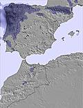 | 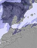 | 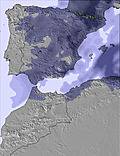 | 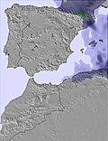 | 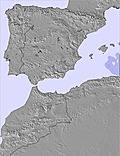 | ||||||||||||
— | — | — | — | — | — | — | — | — | — | — | — | — | — | — | — | — | — | |
— | — | — | — | 3 | 1 | — | — | — | — | — | — | — | — | — | — | — | — | |
max °C | 5 | 7 | 6 | 5 | 7 | 6 | 7 | 9 | 8 | 8 | 11 | 11 | 12 | 15 | 15 | 14 | 16 | 15 |
min °C | 1 | 7 | 2 | 2 | 6 | 3 | 4 | 9 | 5 | 5 | 11 | 8 | 9 | 14 | 11 | 11 | 16 | 12 |
-3 | 6 | 2 | 2 | 4 | 3 | 1 | 6 | 3 | 3 | 10 | 8 | 8 | 14 | 10 | 10 | 16 | 12 | |
57 | 61 | 51 | 60 | 64 | 50 | 49 | 43 | 59 | 74 | 66 | 52 | 49 | 41 | 43 | 38 | 43 | 31 | |
2850 | 2750 | 2750 | 2600 | 2700 | 2850 | 3100 | 3250 | 3300 | 3300 | 3250 | 3800 | 4050 | 3950 | 3850 | 3900 | 3850 | 3950 | |
7:05 | — | — | 7:05 | — | — | 7:03 | — | — | 7:03 | — | — | 7:01 | — | — | 7:01 | — | — | |
— | — | 9:31 | — | — | 9:32 | — | — | 9:34 | — | — | 9:35 | — | — | 9:36 | — | — | 9:37 | |
Latest snow reports near Sierra de Béjar - La Covatilla:
| Top snow depth: | — |
|---|---|
| Bottom snow depth: | — |
| Fresh snowfall depth: | — |
| Last snowfall: | 12 May 2026 |
| Snow Alerts | Create Alert |
0.0 | Bluebird Powder days Fresh snow, mostly sunny, light wind. |
|---|---|
0.1 | Powder days Fresh snow, limited sun, any wind. |
0.1 | Bluebird days Average snow, mostly sunny, light wind. |
The above table gives the weather forecast for Sierra de Béjar - La Covatilla at the specific elevation of 1989 m. Our sophisticated weather models allow us to provide snow forecasts for the top, middle and bottom ski stations of Sierra de Béjar - La Covatilla. To access the weather forecasts for the other elevations, use the tab navigation above the table. For a wider view of the weather, check out the Weather Map of Spain.
Click here to read further information on freezing levels and how we forecast our temperatures.
Resort name is also written as Sierra de Bejar - La Covatilla.
Overall 3.1 Based on 16 votes and 28 reviews
El diseño de la estación es bueno: más de 20km esquiables (si hay nieve) a los que se accede con un único telesilla que enlaza con una percha. El impacto medioambiental es bajo y el mantenimiento más barato. El problema es que el único telesilla, por el que tiene que pasar todo el mundo, es lentísimo (el más lento de Europa?) y de 4 asientos nada más. Consecuencia: las colas son interminables y apenas se esquía. Un telesilla de 6 atentos con embrague (van me rápidos y, a la vez, es más fácil subirse) se antoja esencial para convertir a la Covatilla en una buena estación (ahora es, directamente, mala). Pasar a diario la máquina acondicionadora de la nieve (la oruga) tampoco vendría mal.
Luis from Spain writes:
El diseño de la estación es bueno: más de 20km esquiables (si hay nieve) a los que se accede con un único telesilla que enlaza con una percha. El impacto medioambiental es bajo y el mantenimiento más barato. El problema es que el único telesilla, por el que tiene que pasar todo el mundo, es lentísimo (el más lento de Europa?) y de 4 asientos nada más. Consecuencia: las colas son interminables y apenas se esquía. Un telesilla de 6 atentos con embrague (van me rápidos y, a la vez, es más fácil subirse) se antoja esencial para convertir a la Covatilla en una buena estación (ahora es, directamente, mala). Pasar a diario la máquina acondicionadora de la nieve (la oruga) tampoco vendría mal.
Read 27 more reviews of Sierra de Béjar - La Covatilla or submit your own


 Nearest