

Global Weekly Snow Roundup #314
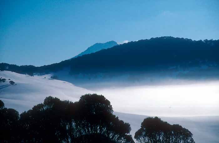
Weekly Global Snow News, updated 14 May 2026: Fresh snowfall in Argentina, Australia and Lesotho signals winter’s approach, while Japan maintains the world’s deepest snowpack.

Next 4 days weather summary:Moderate rain (total 10.0mm), heaviest on Sun night. Very mild (max 11°C on Sat morning, min 6°C on Sun night). Wind will be generally light. | Days 5-7 weather summary:Heavy rain (total 28.0mm), heaviest during Tue morning. Mild temperatures (max 7°C on Mon night, min 2°C on Tue night). Wind will be generally light. | |||||||||||||||
Saturday 16 | Sunday 17 | Monday 18 | Tuesday 19 | Wednesday 20 | ||||||||||||
night | AM | PM | night | AM | PM | night | AM | PM | night | AM | PM | night | AM | PM | night | |
some clouds | cloudy | some clouds | some clouds | cloudy | cloudy | mod. rain | light rain | light rain | heavy rain | mod. rain | light rain | some clouds | clear | some clouds | clear | |
km/h | ||||||||||||||||
Snow map | 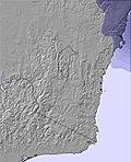 | 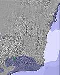 | 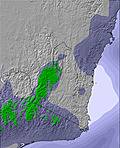 | 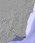 | 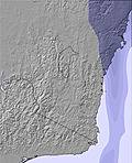 | 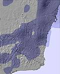 | ||||||||||
— | — | — | — | — | — | — | — | — | — | — | — | — | — | — | — | |
— | — | — | — | — | — | 6 | 2 | 2 | 14 | 10 | 4 | — | — | — | — | |
max °C | 8 | 11 | 11 | 9 | 10 | 10 | 9 | 7 | 7 | 7 | 7 | 7 | 6 | 7 | 6 | 3 |
min °C | 8 | 9 | 9 | 8 | 9 | 9 | 6 | 7 | 7 | 7 | 7 | 6 | 2 | 3 | 3 | 2 |
6 | 7 | 7 | 6 | 8 | 9 | 5 | 6 | 6 | 6 | 6 | 5 | -1 | 2 | 3 | 2 | |
75 | 60 | 55 | 78 | 73 | 67 | 81 | 90 | 93 | 98 | 99 | 93 | 92 | 69 | 62 | 79 | |
2900 | 2950 | 2950 | 3150 | 3000 | 2850 | 2700 | 2800 | 2850 | 2950 | 2850 | 2600 | 2700 | 2500 | 2450 | 2300 | |
— | 6:54 | — | — | 6:56 | — | — | 6:56 | — | — | 6:56 | — | — | 6:58 | — | — | |
— | — | 5:08 | — | — | 5:07 | — | — | 5:07 | — | — | 5:07 | — | — | 5:06 | — | |
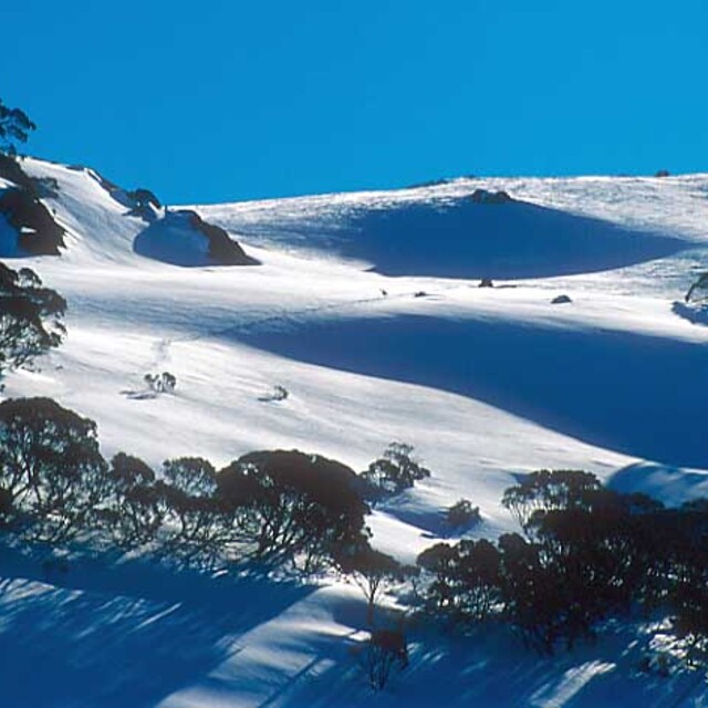
Latest snow reports near Selwyn Snowfields:
| Top snow depth: | — |
|---|---|
| Bottom snow depth: | — |
| Fresh snowfall depth: | — |
| Last snowfall: | 7 May 2026 |
| Snow Alerts | Create Alert |
0.0 | Bluebird Powder days Fresh snow, mostly sunny, light wind. |
|---|---|
0.1 | Powder days Fresh snow, limited sun, any wind. |
0.1 | Bluebird days Average snow, mostly sunny, light wind. |
The above table gives the weather forecast for Selwyn Snowfields at the specific elevation of 1520 m. Our sophisticated weather models allow us to provide snow forecasts for the top, middle and bottom ski stations of Selwyn Snowfields. To access the weather forecasts for the other elevations, use the tab navigation above the table. For a wider view of the weather, check out the Weather Map of Australia.
Click here to read further information on freezing levels and how we forecast our temperatures.
Overall 2.4 Based on 7 votes and 3 reviews
Selwyn is a reasonably good ski resort. Although it is the last place to get snow and the first place to lose it, the skiing in between is great. Selwyn is more of a family resort, and so specializes in beginner and intermediate runs. For people looking to pull some harder moves, then trying elsewhere is a good idea. Selwyn is well priced, and can be very enjoyable. All up it's a good place to go ;]
Clare from Australia writes:
Selwyn is a reasonably good ski resort. Although it is the last place to get snow and the first place to lose it, the skiing in between is great. Selwyn is more of a family resort, and so specializes in beginner and intermediate runs. For people looking to pull some harder moves, then trying elsewhere is a good idea. Selwyn is well priced, and can be very enjoyable. All up it's a good place to go ;]


 Nearest