The above table gives the weather forecast for Scheffau (SkiWelt) at the specific elevation of 1957 m. Our sophisticated weather models allow us to provide snow forecasts for the top, middle and bottom ski stations of Scheffau (SkiWelt). To access the weather forecasts for the other elevations, use the tab navigation above the table. For a wider view of the weather, check out the Weather Map of Austria.
Click here to read further information on freezing levels and how we forecast our temperatures.
Stayed at the Land Alpin which continues to serve up excellent food and is conveniently located. With the relatively mild weather over Christmas the rooms were far too hot though and even with the windows open and the radiator off it was too hot in the room at night.
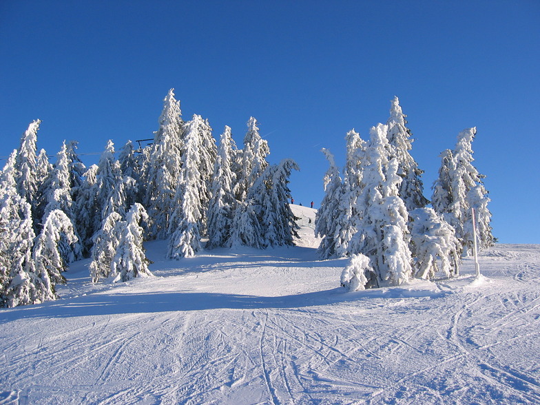
Snow not brilliant this year and we could not ski down to the gondola but with buses every 15 minutes, from outside the hotel, (except over lunch time) you never need to wait long for a bus. The gondola takes you up high and the snow up there was good up to about 2pm when it became slushy each day.
Stayed at the Land Alpin which continues to serve up excellent food and is conveniently located. With the relatively mild weather over Christmas the rooms were far too hot though and even with the windows open and the radiator off it was too hot in the room at night.
Snow not brilliant this year and we could not ski down to the gondola but with buses every 15 minutes, from outside the hotel, (except over lunch time) you never need to wait long for a bus. The gondola takes you up high and the snow up there was good up to about 2pm when it became slushy each day.
Free Snow-Forecast.com weather widget for your website
Embed the Scheffau (SkiWelt) weather widget on your site for free. It provides a weekly snapshot of snow and rain conditions across all elevations. Follow the two quick steps to grab your custom code and paste it into your site. Choose between metric or imperial units. Click here to get the code.


 Nearest