

Global Weekly Snow Roundup #314
Weekly Global Snow News, updated 14 May 2026: Fresh snowfall in Argentina, Australia and Lesotho signals winter’s approach, while Japan maintains the world’s deepest snowpack.

Next 3 days weather summary:Moderate rain (total 15.0mm), heaviest on Mon afternoon. Freeze-thaw conditions (max 10°C on Sun afternoon, min -3°C on Sat night). Wind will be generally light. | Days 4-6 weather summary:Light rain (total 5.0mm), mostly falling on Tue afternoon. Very mild (max 17°C on Thu afternoon, min 5°C on Tue morning). Wind will be generally light. | |||||||||||||||||
Saturday 16 | Sunday 17 | Monday 18 | Tuesday 19 | Wednesday 20 | Thursday 21 | |||||||||||||
AM | PM | night | AM | PM | night | AM | PM | night | AM | PM | night | AM | PM | night | AM | PM | night | |
snow shwrs | light rain | rain shwrs | some clouds | some clouds | rain shwrs | light rain | light rain | light rain | cloudy | light rain | light rain | clear | some clouds | some clouds | some clouds | some clouds | clear | |
km/h | ||||||||||||||||||
Snow map |  |  |  |  |  |  | ||||||||||||
— | — | — | — | — | — | — | — | — | — | — | — | — | — | — | — | — | — | |
— | 3 | 1 | — | — | 1 | 1 | 5 | 4 | — | 3 | 2 | — | — | — | — | — | — | |
max °C | 2 | 3 | 3 | 6 | 10 | 7 | 6 | 8 | 6 | 7 | 7 | 7 | 11 | 14 | 12 | 14 | 17 | 14 |
min °C | -1 | 2 | -3 | 2 | 9 | 4 | 5 | 8 | 4 | 5 | 6 | 5 | 7 | 14 | 7 | 10 | 17 | 9 |
-1 | 0 | -6 | 2 | 8 | 3 | 4 | 7 | 4 | 5 | 6 | 5 | 7 | 14 | 7 | 10 | 17 | 9 | |
82 | 78 | 81 | 62 | 50 | 79 | 82 | 69 | 99 | 81 | 94 | 93 | 70 | 60 | 75 | 50 | 49 | 66 | |
1550 | 1800 | 1400 | 2300 | 2550 | 2200 | 2300 | 2350 | 2150 | 2500 | 2650 | 2750 | 3000 | 3100 | 3550 | 3700 | 3600 | 4050 | |
6:00 | — | — | 5:58 | — | — | 5:58 | — | — | 5:56 | — | — | 5:56 | — | — | 5:54 | — | — | |
— | — | 8:58 | — | — | 8:59 | — | — | 9:00 | — | — | 9:01 | — | — | 9:02 | — | — | 9:04 | |
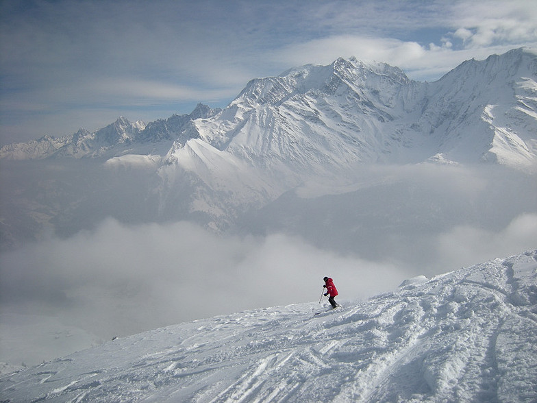
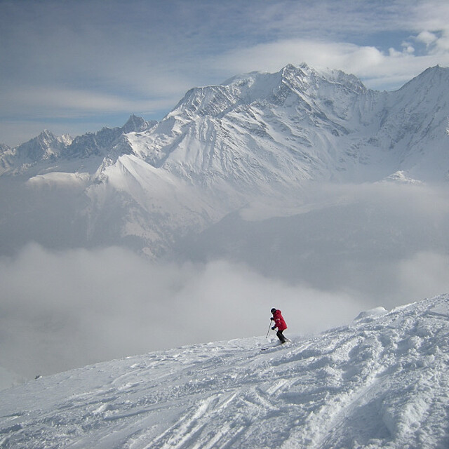
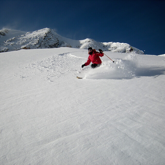
Latest snow reports near Saint Gervais:
Moderate rain reported from Haute-Savoie Mont Blanc Airport/Aéroport Annecy/Meythet at 711 metres elevation only 3 kms WNW of Annecy-LeSemnoz but it is forecast cold enough for snow at the ski area from Annecy-LeSemnoz
Light rain reported from Haute-Savoie Mont Blanc Airport/Aéroport Annecy/Meythet at 711 metres elevation only 3 kms WNW of Annecy-LeSemnoz but it is forecast cold enough for snow at the ski area from Annecy-LeSemnoz
| Top snow depth: | — |
|---|---|
| Bottom snow depth: | — |
| Fresh snowfall depth: | 17 cm |
| Last snowfall: | 15 May 2026 |
| Snow Alerts | Create Alert |
0.0 | Bluebird Powder days Fresh snow, mostly sunny, light wind. |
|---|---|
0.0 | Powder days Fresh snow, limited sun, any wind. |
0.0 | Bluebird days Average snow, mostly sunny, light wind. |
The above table gives the weather forecast for Saint Gervais at the specific elevation of 1400 m. Our sophisticated weather models allow us to provide snow forecasts for the top, middle and bottom ski stations of Saint Gervais. To access the weather forecasts for the other elevations, use the tab navigation above the table. For a wider view of the weather, check out the Weather Map of France.
Click here to read further information on freezing levels and how we forecast our temperatures.
Overall 4.3 Based on 40 votes and 21 reviews
As some other reviewers have said this is an excellent resort for mixed ability groups. We went as a group of 4 adults and 6 kids aged 1-9yrs. The older children picked it up quickly after a few lessons and had plenty of easy green slopes to practice on. They even managed a few reds and blues with their dads before the week was out. For anyone else bringing young kids there are plenty of places to rent the sledges that young children can be pushed around in (am sure they have a name!) and there are 2 toboggan runs which even a young child could do on a bum board. We stayed in St. Gervais le Bain, in a chalet, and there was only one cable car up to the resort which the kids enjoyed anyway and the better skiers were able to go on up to access more challenging runs. This holiday was excellent value and we are heading back next month.
D Todd from United Kingdom writes:
As some other reviewers have said this is an excellent resort for mixed ability groups. We went as a group of 4 adults and 6 kids aged 1-9yrs. The older children picked it up quickly after a few lessons and had plenty of easy green slopes to practice on. They even managed a few reds and blues with their dads before the week was out. For anyone else bringing young kids there are plenty of places to rent the sledges that young children can be pushed around in (am sure they have a name!) and there are 2 toboggan runs which even a young child could do on a bum board.
We stayed in St. Gervais le Bain, in a chalet, and there was only one cable car up to the resort which the kids enjoyed anyway and the better skiers were able to go on up to access more challenging runs. This holiday was excellent value and we are heading back next month.


 Nearest