

Global Weekly Snow Roundup #314
Weekly Global Snow News, updated 14 May 2026: Fresh snowfall in Argentina, Australia and Lesotho signals winter’s approach, while Japan maintains the world’s deepest snowpack.

Next 3 days weather summary:Light rain (total 5.0mm) at first, then becoming colder with a dusting of snow on Mon night. Freeze-thaw conditions (max 2°C on Sun afternoon, min -4°C on Sat night). Wind will be generally light. | Days 4-6 weather summary:Heavy rain (total 23.0mm), heaviest during Wed afternoon. Mild temperatures (max 9°C on Thu afternoon, min 1°C on Tue morning). Wind will be generally light. | |||||||||||||||||
Saturday 16 | Sunday 17 | Monday 18 | Tuesday 19 | Wednesday 20 | Thursday 21 | |||||||||||||
AM | PM | night | AM | PM | night | AM | PM | night | AM | PM | night | AM | PM | night | AM | PM | night | |
light snow | light snow | snow shwrs | clear | light snow | light snow | snow shwrs | light rain | light snow | light rain | light rain | light rain | light rain | risk thun- der | rain shwrs | some clouds | light rain | rain shwrs | |
km/h | ||||||||||||||||||
Snow map |  |  |  |  |  |  | ||||||||||||
1 | — | — | — | — | — | — | — | 1 | — | — | — | — | — | — | — | — | — | |
— | — | — | — | — | — | — | 5 | — | 1 | 2 | 2 | 1 | 8 | 4 | — | 2 | 3 | |
max °C | -2 | -1 | -1 | 0 | 2 | 1 | 2 | 2 | 2 | 3 | 5 | 4 | 5 | 6 | 5 | 7 | 9 | 7 |
min °C | -3 | -1 | -4 | -1 | 2 | -1 | 0 | 2 | 0 | 1 | 4 | 2 | 3 | 6 | 3 | 4 | 8 | 4 |
-7 | -5 | -6 | -1 | 2 | -1 | 0 | 1 | 0 | 1 | 4 | 1 | 2 | 6 | 1 | 3 | 8 | 3 | |
71 | 73 | 64 | 62 | 83 | 92 | 79 | 92 | 92 | 83 | 81 | 92 | 83 | 78 | 77 | 63 | 62 | 75 | |
1950 | 2150 | 1150 | 2250 | 2400 | 1950 | 2400 | 2500 | 2300 | 2550 | 2800 | 2650 | 2800 | 3000 | 2900 | 2950 | 3300 | 3100 | |
5:39 | — | — | 5:37 | — | — | 5:37 | — | — | 5:35 | — | — | 5:35 | — | — | 5:33 | — | — | |
— | — | 8:38 | — | — | 8:39 | — | — | 8:42 | — | — | 8:43 | — | — | 8:44 | — | — | 8:45 | |
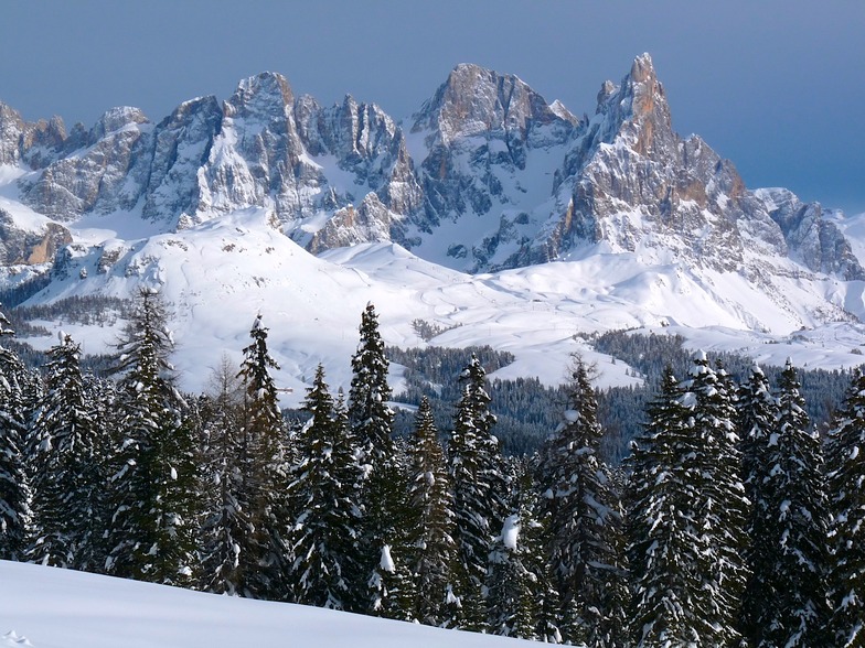
Latest snow reports near Passo Rolle:
Light rain reported from Caldonazzo wx at 487 metres elevation only 4 kms SSW of Levico Terme Panarotta but it is forecast cold enough for snow at the ski area from Levico Terme Panarotta
Blowing moderate snow reported from Rolle Pass Airport at 2083 metres elevation only 2 kms S of Passo Rolle Ski Resort from Passo Rolle
Moderate snow reported from Rolle Pass Airport at 2083 metres elevation only 2 kms S of Passo Rolle Ski Resort from Passo Rolle
| Top snow depth: | — |
|---|---|
| Bottom snow depth: | — |
| Fresh snowfall depth: | 25 cm |
| Last snowfall: | 15 May 2026 |
| Snow Alerts | Create Alert |
0.0 | Bluebird Powder days Fresh snow, mostly sunny, light wind. |
|---|---|
0.4 | Powder days Fresh snow, limited sun, any wind. |
0.0 | Bluebird days Average snow, mostly sunny, light wind. |
The above table gives the weather forecast for Passo Rolle at the specific elevation of 2200 m. Our sophisticated weather models allow us to provide snow forecasts for the top, middle and bottom ski stations of Passo Rolle. To access the weather forecasts for the other elevations, use the tab navigation above the table. For a wider view of the weather, check out the Weather Map of Italy.
Click here to read further information on freezing levels and how we forecast our temperatures.


 Nearest