

Global Weekly Snow Roundup #314
Weekly Global Snow News, updated 14 May 2026: Fresh snowfall in Argentina, Australia and Lesotho signals winter’s approach, while Japan maintains the world’s deepest snowpack.

Next 3 days weather summary:Light rain (total 4.0mm), mostly falling on Sat night. Very mild (max 19°C on Mon afternoon, min 9°C on Sat morning). Winds decreasing (near gales from the W on Sat night, light winds from the W by Sun night). | Days 4-6 weather summary:Light rain (total 7.0mm), mostly falling on Wed afternoon. Warm (max 22°C on Tue afternoon, min 4°C on Thu night). Winds decreasing (near gales from the W on Wed afternoon, light winds from the N by Thu afternoon). | |||||||||||||||||
Saturday 16 | Sunday 17 | Monday 18 | Tuesday 19 | Wednesday 20 | Thursday 21 | |||||||||||||
AM | PM | night | AM | PM | night | AM | PM | night | AM | PM | night | AM | PM | night | AM | PM | night | |
clear | clear | rain shwrs | clear | clear | some clouds | cloudy | some clouds | rain shwrs | some clouds | clear | some clouds | some clouds | rain shwrs | light rain | cloudy | some clouds | cloudy | |
km/h | ||||||||||||||||||
Snow map |  |  |  |  |  |  | ||||||||||||
— | — | — | — | — | — | — | — | — | — | — | — | — | — | — | — | — | — | |
— | — | 3 | — | — | — | — | — | 1 | — | — | — | — | 5 | 2 | — | — | — | |
max °C | 10 | 15 | 14 | 13 | 15 | 13 | 15 | 19 | 18 | 20 | 22 | 21 | 19 | 20 | 14 | 7 | 9 | 7 |
min °C | 9 | 13 | 12 | 12 | 15 | 11 | 13 | 19 | 17 | 19 | 21 | 18 | 18 | 16 | 5 | 6 | 8 | 4 |
6 | 11 | 8 | 9 | 13 | 9 | 12 | 19 | 16 | 18 | 21 | 16 | 17 | 14 | 1 | 4 | 6 | 1 | |
54 | 59 | 93 | 66 | 53 | 55 | 73 | 71 | 76 | 59 | 63 | 71 | 79 | 87 | 92 | 58 | 48 | 56 | |
3300 | 3700 | 3500 | 3150 | 3600 | 3750 | 3850 | 4200 | 4100 | 4400 | 4400 | 4150 | 4000 | 3950 | 3900 | 3400 | 3100 | 2600 | |
5:26 | — | — | 5:24 | — | — | 5:22 | — | — | 5:22 | — | — | 5:22 | — | — | 5:20 | — | — | |
— | — | 8:08 | — | — | 8:09 | — | — | 8:10 | — | — | 8:12 | — | — | 8:13 | — | — | 8:14 | |
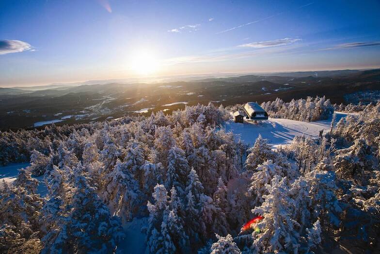
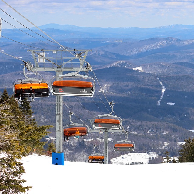
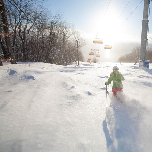
Latest snow reports near Okemo Mountain:
| Top snow depth: | 0 cm |
|---|---|
| Bottom snow depth: | 0 cm |
| Fresh snowfall depth: | — |
| Last snowfall: | 22 Apr 2026 |
| Snow Alerts | Create Alert |
0.0 | Bluebird Powder days Fresh snow, mostly sunny, light wind. |
|---|---|
0.1 | Powder days Fresh snow, limited sun, any wind. |
0.0 | Bluebird days Average snow, mostly sunny, light wind. |
The above table gives the weather forecast for Okemo Mountain at the specific elevation of 1020 m. Our sophisticated weather models allow us to provide snow forecasts for the top, middle and bottom ski stations of Okemo Mountain. To access the weather forecasts for the other elevations, use the tab navigation above the table. For a wider view of the weather, check out the Weather Map of United States.
Click here to read further information on freezing levels and how we forecast our temperatures.
Overall 3.9 Based on 13 votes and 8 reviews
The weather has been frightful in VT this year. But then being VT, you have to expect at least every other year being frightful. It used to be Okemo took the frightfulness with great aplomb. Snow-making and grooming was top-notch, perhaps best in all the east. Sadly, one can no longer look to good conditions from the groom crew. This wouldn't be because Vail bought the place, would it?
Bum from United States writes:
The weather has been frightful in VT this year. But then being VT, you have to expect at least every other year being frightful.
It used to be Okemo took the frightfulness with great aplomb. Snow-making and grooming was top-notch, perhaps best in all the east. Sadly, one can no longer look to good conditions from the groom crew. This wouldn't be because Vail bought the place, would it?


 Nearest