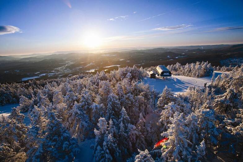


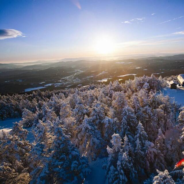
Global Weekly Snow Roundup #314
Weekly Global Snow News, updated 14 May 2026: Fresh snowfall in Argentina, Australia and Lesotho signals winter’s approach, while Japan maintains the world’s deepest snowpack.

Next 3 days weather summary:Light rain (total 9.0mm), mostly falling on Sat night. Warm (max 22°C on Mon afternoon, min 10°C on Sat morning). Winds decreasing (strong winds from the WSW on Sat night, light winds from the W by Sun night). | Days 4-6 weather summary:Light rain (total 5.0mm), mostly falling on Wed afternoon. Warm (max 24°C on Tue afternoon, min 6°C on Thu night). Winds decreasing (strong winds from the W on Tue night, light winds from the ENE by Thu night). | |||||||||||||||||
Saturday 16 | Sunday 17 | Monday 18 | Tuesday 19 | Wednesday 20 | Thursday 21 | |||||||||||||
AM | PM | night | AM | PM | night | AM | PM | night | AM | PM | night | AM | PM | night | AM | PM | night | |
clear | clear | rain shwrs | clear | clear | some clouds | rain shwrs | some clouds | rain shwrs | some clouds | some clouds | some clouds | some clouds | risk thun- der | light rain | some clouds | some clouds | cloudy | |
km/h | ||||||||||||||||||
Snow map |  |  |  |  |  |  | ||||||||||||
— | — | — | — | — | — | — | — | — | — | — | — | — | — | — | — | — | — | |
— | — | 6 | — | — | — | 2 | — | 1 | — | — | — | — | 3 | 2 | — | — | — | |
max °C | 13 | 18 | 16 | 16 | 19 | 14 | 15 | 22 | 20 | 22 | 24 | 22 | 22 | 22 | 18 | 9 | 12 | 9 |
min °C | 10 | 16 | 13 | 14 | 18 | 12 | 13 | 21 | 18 | 20 | 24 | 19 | 20 | 21 | 9 | 8 | 11 | 6 |
8 | 15 | 10 | 12 | 17 | 10 | 12 | 21 | 17 | 20 | 24 | 18 | 20 | 21 | 6 | 5 | 10 | 4 | |
50 | 56 | 91 | 61 | 52 | 61 | 85 | 66 | 80 | 59 | 65 | 73 | 68 | 84 | 95 | 58 | 44 | 60 | |
3350 | 3750 | 3600 | 3200 | 3600 | 3650 | 3700 | 4150 | 4150 | 4350 | 4250 | 4100 | 4200 | 4050 | 3850 | 3550 | 3200 | 2400 | |
5:26 | — | — | 5:24 | — | — | 5:22 | — | — | 5:22 | — | — | 5:22 | — | — | 5:20 | — | — | |
— | — | 8:08 | — | — | 8:09 | — | — | 8:10 | — | — | 8:12 | — | — | 8:13 | — | — | 8:14 | |
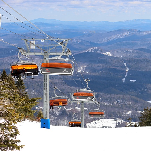
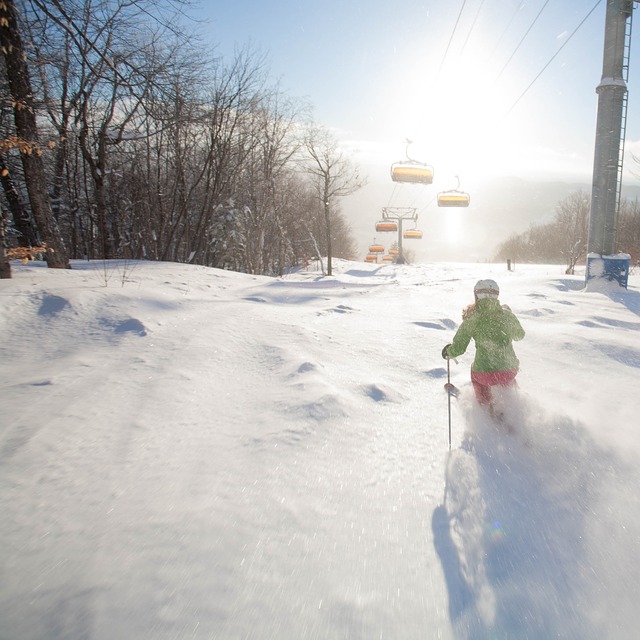
Latest snow reports near Okemo Mountain:
| Top snow depth: | 0 cm |
|---|---|
| Bottom snow depth: | 0 cm |
| Fresh snowfall depth: | — |
| Last snowfall: | 22 Apr 2026 |
| Snow Alerts | Create Alert |
0.0 | Bluebird Powder days Fresh snow, mostly sunny, light wind. |
|---|---|
0.0 | Powder days Fresh snow, limited sun, any wind. |
0.0 | Bluebird days Average snow, mostly sunny, light wind. |
The above table gives the weather forecast for Okemo Mountain at the specific elevation of 692 m. Our sophisticated weather models allow us to provide snow forecasts for the top, middle and bottom ski stations of Okemo Mountain. To access the weather forecasts for the other elevations, use the tab navigation above the table. For a wider view of the weather, check out the Weather Map of United States.
Click here to read further information on freezing levels and how we forecast our temperatures.
Overall 3.9 Based on 13 votes and 8 reviews
I have been coming to Okemo since I was just able to walk and I love my memories of this place. Now I have brought my son here and all I can say is that I am extremely disappointed. Vail resorts has turned a fun family experience into a soulless corporate slog. Completely disregarding ticket prices (not that it should be disregarded) the experience as a whole has ruined what was my favorite mountain. During the week half of the lifts are closed because they don't want to spend the resources to run them for the reduced volume of skiers. This limits the terrain available to beginner skiers to mountain rd and various minor tributaries. They steal your bags if you leave them in the lodge, something everyone has always done in the history of skiing, across the world. They scanned my pass while I was standing at the bottom of the magic carpet in shoes waiting for my son to come down from his practice runs, charging me a full day's worth of my 4 day pass. That was eventually resolved after an hour's hassle and involving the resort manager when they "magnanimously" offered me a "free pass", although it was simply returning the day they had stolen from me without cause. The staff is unfriendly (with a few exceptions of course), the atmosphere is gone, and I won't be coming back. I will avoid all Vail resorts in the future. I will try to do my little part to keep the soul of my passion alive, to keep skiing fun and family friendly, to halt the corporate takeover that has made skiing in the USA so expensive that I can fly to Europe, pay for lodging and life tickets and food, and still spend less than a week on an epic pass at Vail resorts where I have free lodging and cook my own food.
Jeff from United States writes:
I have been coming to Okemo since I was just able to walk and I love my memories of this place. Now I have brought my son here and all I can say is that I am extremely disappointed. Vail resorts has turned a fun family experience into a soulless corporate slog. Completely disregarding ticket prices (not that it should be disregarded) the experience as a whole has ruined what was my favorite mountain. During the week half of the lifts are closed because they don't want to spend the resources to run them for the reduced volume of skiers. This limits the terrain available to beginner skiers to mountain rd and various minor tributaries. They steal your bags if you leave them in the lodge, something everyone has always done in the history of skiing, across the world. They scanned my pass while I was standing at the bottom of the magic carpet in shoes waiting for my son to come down from his practice runs, charging me a full day's worth of my 4 day pass. That was eventually resolved after an hour's hassle and involving the resort manager when they "magnanimously" offered me a "free pass", although it was simply returning the day they had stolen from me without cause. The staff is unfriendly (with a few exceptions of course), the atmosphere is gone, and I won't be coming back. I will avoid all Vail resorts in the future. I will try to do my little part to keep the soul of my passion alive, to keep skiing fun and family friendly, to halt the corporate takeover that has made skiing in the USA so expensive that I can fly to Europe, pay for lodging and life tickets and food, and still spend less than a week on an epic pass at Vail resorts where I have free lodging and cook my own food.


 Nearest