

Global Weekly Snow Roundup #314
Weekly Global Snow News, updated 14 May 2026: Fresh snowfall in Argentina, Australia and Lesotho signals winter’s approach, while Japan maintains the world’s deepest snowpack.

Next 3 days weather summary:Mostly dry. Mild temperatures (max 5°C on Sat afternoon, min 3°C on Mon night). Wind will be generally light. | Days 4-6 weather summary:Heavy rain (total 47.0mm), heaviest during Fri morning. Mild temperatures (max 5°C on Tue night, min 2°C on Thu afternoon). Winds increasing (light winds from the WNW on Tue afternoon, strong winds from the NNW by Fri morning). | ||||||||||||||||
Sat 16 | Sunday 17 | Monday 18 | Tuesday 19 | Wednesday 20 | Thursday 21 | ||||||||||||
PM | night | AM | PM | night | AM | PM | night | AM | PM | night | AM | PM | night | AM | PM | night | |
clear | clear | clear | clear | clear | clear | clear | clear | some clouds | some clouds | cloudy | cloudy | cloudy | cloudy | cloudy | some clouds | mod. rain | |
km/h | |||||||||||||||||
Snow map |  |  |  |  |  |  | |||||||||||
— | — | — | — | — | — | — | — | — | — | — | — | — | — | — | — | — | |
— | — | — | — | — | — | — | — | — | — | — | — | — | — | — | — | 8 | |
max °C | 5 | 5 | 5 | 5 | 4 | 4 | 4 | 4 | 4 | 4 | 5 | 4 | 4 | 4 | 3 | 2 | 4 |
min °C | 5 | 5 | 5 | 4 | 4 | 4 | 4 | 3 | 4 | 3 | 4 | 4 | 4 | 3 | 3 | 2 | 2 |
5 | 4 | 5 | 4 | 4 | 3 | 3 | 3 | 2 | 0 | 1 | 1 | 0 | -1 | -1 | -3 | -4 | |
28 | 16 | 21 | 37 | 34 | 19 | 32 | 23 | 12 | 30 | 16 | 20 | 31 | 22 | 62 | 87 | 92 | |
2950 | 2900 | 2800 | 2750 | 2650 | 2600 | 2600 | 2600 | 2800 | 2700 | 2950 | 3000 | 3100 | 2750 | 2550 | 2050 | 2850 | |
— | — | 7:50 | — | — | 7:52 | — | — | 7:52 | — | — | 7:54 | — | — | 7:54 | — | — | |
5:23 | — | — | 5:22 | — | — | 5:22 | — | — | 5:21 | — | — | 5:20 | — | — | 5:19 | — | |
Latest snow reports near Ohau:
| Top snow depth: | — |
|---|---|
| Bottom snow depth: | — |
| Fresh snowfall depth: | — |
| Last snowfall: | 8 May 2026 |
| Snow Alerts | Create Alert |
0.8 | Bluebird Powder days Fresh snow, mostly sunny, light wind. |
|---|---|
1.1 | Powder days Fresh snow, limited sun, any wind. |
0.6 | Bluebird days Average snow, mostly sunny, light wind. |
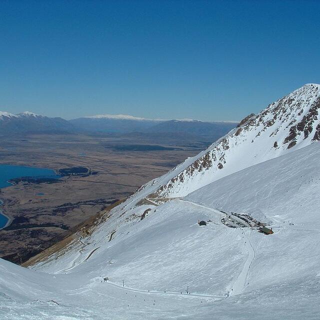

The above table gives the weather forecast for Ohau at the specific elevation of 1825 m. Our sophisticated weather models allow us to provide snow forecasts for the top, middle and bottom ski stations of Ohau. To access the weather forecasts for the other elevations, use the tab navigation above the table. For a wider view of the weather, check out the Weather Map of New Zealand.
Click here to read further information on freezing levels and how we forecast our temperatures.
Overall 3.4 Based on 10 votes and 3 reviews
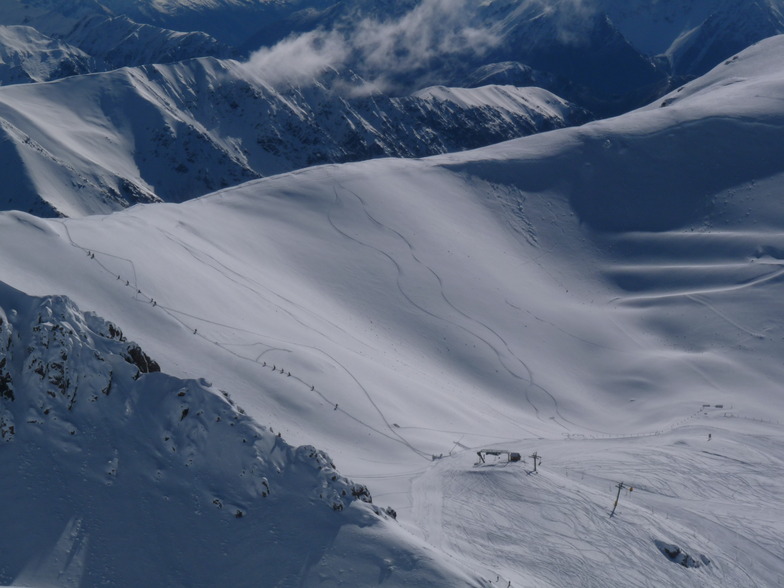
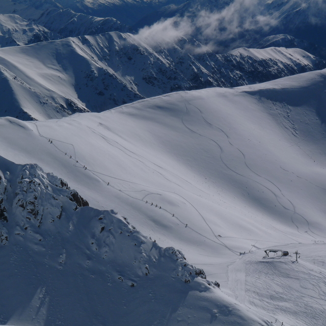
Totally agree with the last review. The views coming down the ski field are stunning - one of the prettiest places I have ever skied! The terrain is also interesting too. In fact the terrain park was empty the day we were there, as there are so many natural features and jumps across the mountain. Has access to great back-country with a little bit of hiking onto the top ridge. This is a very special ski area, well worth a trip!
Michael Gibson from New Zealand writes:
Totally agree with the last review. The views coming down the ski field are stunning - one of the prettiest places I have ever skied! The terrain is also interesting too. In fact the terrain park was empty the day we were there, as there are so many natural features and jumps across the mountain. Has access to great back-country with a little bit of hiking onto the top ridge. This is a very special ski area, well worth a trip!


 Nearest