

Global Weekly Snow Roundup #314
Weekly Global Snow News, updated 14 May 2026: Fresh snowfall in Argentina, Australia and Lesotho signals winter’s approach, while Japan maintains the world’s deepest snowpack.

Next 3 days weather summary:Mostly dry. Temperatures will be slightly above freezing (max 4°C on Sat morning, min 3°C on Sat morning). Wind will be generally light. | Days 4-6 weather summary:Mostly dry. Mild temperatures (max 7°C on Wed morning, min 4°C on Tue morning). Wind will be generally light. | |||||||||||||||||
Saturday 16 | Sunday 17 | Monday 18 | Tuesday 19 | Wednesday 20 | Thursday 21 | |||||||||||||
AM | PM | night | AM | PM | night | AM | PM | night | AM | PM | night | AM | PM | night | AM | PM | night | |
clear | clear | clear | clear | clear | clear | clear | clear | clear | some clouds | some clouds | clear | some clouds | some clouds | some clouds | some clouds | some clouds | some clouds | |
km/h | ||||||||||||||||||
Snow map |  |  |  |  |  |  | ||||||||||||
— | — | — | — | — | — | — | — | — | — | — | — | — | — | — | — | — | — | |
— | — | — | — | — | — | — | — | — | — | — | — | — | — | — | — | — | — | |
max °C | 4 | 4 | 4 | 4 | 3 | 3 | 3 | 3 | 3 | 4 | 4 | 5 | 7 | 7 | 7 | 6 | 5 | 6 |
min °C | 3 | 3 | 4 | 3 | 3 | 3 | 3 | 3 | 3 | 4 | 4 | 4 | 6 | 6 | 7 | 6 | 5 | 5 |
3 | 2 | 3 | 2 | 3 | 3 | 2 | 1 | 2 | 2 | 1 | 2 | 4 | 3 | 4 | 2 | 0 | 2 | |
19 | 20 | 17 | 17 | 18 | 21 | 18 | 18 | 17 | 10 | 9 | 8 | 6 | 11 | 6 | 10 | 22 | 27 | |
2800 | 2800 | 2800 | 2750 | 2750 | 2650 | 2600 | 2650 | 2700 | 2850 | 3000 | 3100 | 3400 | 3500 | 3350 | 3350 | 3400 | 3250 | |
7:45 | — | — | 7:46 | — | — | 7:47 | — | — | 7:48 | — | — | 7:48 | — | — | 7:50 | — | — | |
— | 5:21 | — | — | 5:20 | — | — | 5:19 | — | — | 5:17 | — | — | 5:16 | — | — | 5:15 | — | |
Latest snow reports near Mount Dobson:
| Top snow depth: | 0 cm |
|---|---|
| Bottom snow depth: | 0 cm |
| Fresh snowfall depth: | — |
| Last snowfall: | 8 May 2026 |
| Snow Alerts | Create Alert |
1.0 | Bluebird Powder days Fresh snow, mostly sunny, light wind. |
|---|---|
0.6 | Powder days Fresh snow, limited sun, any wind. |
1.0 | Bluebird days Average snow, mostly sunny, light wind. |
The above table gives the weather forecast for Mount Dobson at the specific elevation of 2110 m. Our sophisticated weather models allow us to provide snow forecasts for the top, middle and bottom ski stations of Mount Dobson. To access the weather forecasts for the other elevations, use the tab navigation above the table. For a wider view of the weather, check out the Weather Map of New Zealand.
Click here to read further information on freezing levels and how we forecast our temperatures.
Overall 2.7 Based on 19 votes and 3 reviews
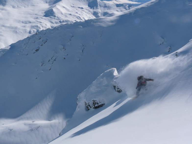
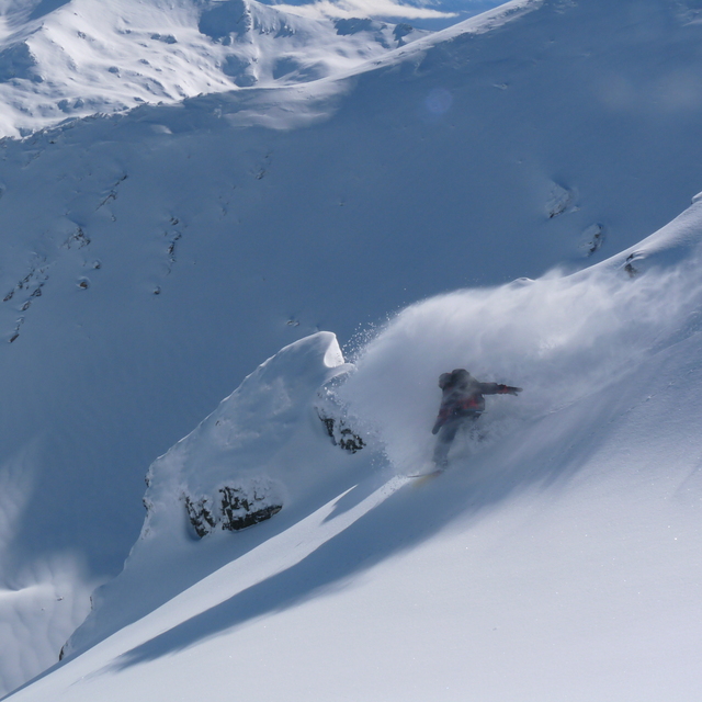
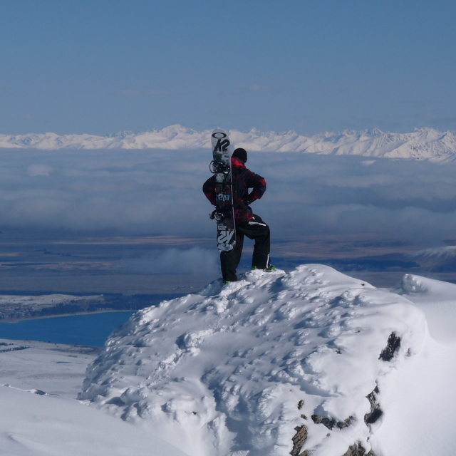
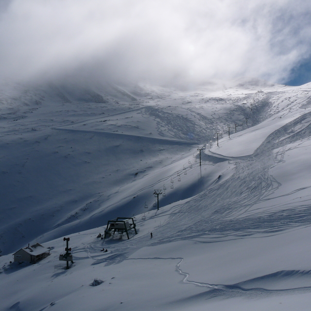
This is a large ski field, with an easy access road despite its high altitude. The ski field facilities are basic but adequate. The terrain is spread out over 2 wide sheltered bowls accessed by a triple chair and T-bar. There is a beginners area with rope tow with progression to a Pomma that accesses 2 longer pistes. The one surprise is how few people were up there. The terrain is a match to many of the much better known ski fields. So if you prefer to avoid crowds and waiting on lift queues this is perfect. You also get superb views right over to Mount Cook out on the East trail. In addition,, they had a deal of 2 for 1 lift pass, so it doesn't hurt the pocket! Will definitely be back.
Michael Gibson from New Zealand writes:
This is a large ski field, with an easy access road despite its high altitude. The ski field facilities are basic but adequate. The terrain is spread out over 2 wide sheltered bowls accessed by a triple chair and T-bar. There is a beginners area with rope tow with progression to a Pomma that accesses 2 longer pistes. The one surprise is how few people were up there. The terrain is a match to many of the much better known ski fields. So if you prefer to avoid crowds and waiting on lift queues this is perfect. You also get superb views right over to Mount Cook out on the East trail. In addition,, they had a deal of 2 for 1 lift pass, so it doesn't hurt the pocket! Will definitely be back.


 Nearest