

Global Weekly Snow Roundup #314
Weekly Global Snow News, updated 14 May 2026: Fresh snowfall in Argentina, Australia and Lesotho signals winter’s approach, while Japan maintains the world’s deepest snowpack.

Next 3 days weather summary:A dusting of new snow. Freeze-thaw conditions (max 3°C on Sun afternoon, min -6°C on Sat morning). Wind will be generally light. | Days 4-6 weather summary:Light rain (total 5.0mm), mostly falling on Tue afternoon. Very mild (max 11°C on Thu afternoon, min 1°C on Tue morning). Wind will be generally light. | |||||||||||||||||
Saturday 16 | Sunday 17 | Monday 18 | Tuesday 19 | Wednesday 20 | Thursday 21 | |||||||||||||
AM | PM | night | AM | PM | night | AM | PM | night | AM | PM | night | AM | PM | night | AM | PM | night | |
light snow | snow shwrs | snow shwrs | some clouds | cloudy | some clouds | light snow | snow shwrs | light snow | cloudy | light rain | rain shwrs | clear | some clouds | some clouds | some clouds | some clouds | clear | |
km/h | ||||||||||||||||||
Snow map |  |  |  |  |  |  | ||||||||||||
— | 1 | — | — | — | — | — | 2 | 1 | — | — | — | — | — | — | — | — | — | |
— | — | — | — | — | — | — | — | — | — | 3 | 2 | — | — | — | — | — | — | |
max °C | -4 | -2 | -2 | 1 | 3 | 2 | 1 | 1 | 1 | 2 | 3 | 3 | 5 | 8 | 7 | 9 | 11 | 10 |
min °C | -6 | -4 | -3 | -1 | 2 | 0 | 0 | 1 | 0 | 1 | 2 | 3 | 3 | 7 | 6 | 6 | 10 | 9 |
-8 | -7 | -3 | -1 | 1 | -3 | -3 | -3 | -2 | -1 | -1 | 1 | 3 | 6 | 6 | 6 | 10 | 9 | |
84 | 74 | 71 | 38 | 71 | 76 | 85 | 81 | 94 | 81 | 94 | 81 | 69 | 63 | 60 | 41 | 39 | 39 | |
1650 | 1950 | 1550 | 2300 | 2500 | 2200 | 2250 | 2300 | 2150 | 2500 | 2650 | 2650 | 2950 | 3150 | 3450 | 3650 | 3750 | 4000 | |
5:58 | — | — | 5:58 | — | — | 5:56 | — | — | 5:56 | — | — | 5:54 | — | — | 5:52 | — | — | |
— | — | 8:59 | — | — | 9:00 | — | — | 9:00 | — | — | 9:01 | — | — | 9:02 | — | — | 9:05 | |
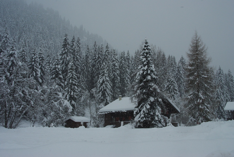
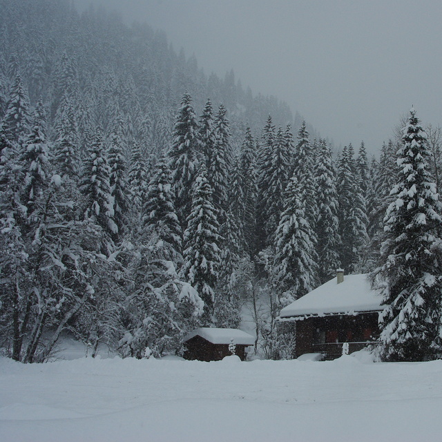
Latest snow reports near Morgins - Les Portes du Soleil:
| Top snow depth: | — |
|---|---|
| Bottom snow depth: | — |
| Fresh snowfall depth: | 18 cm |
| Last snowfall: | 15 May 2026 |
| Snow Alerts | Create Alert |
0.4 | Bluebird Powder days Fresh snow, mostly sunny, light wind. |
|---|---|
0.8 | Powder days Fresh snow, limited sun, any wind. |
0.1 | Bluebird days Average snow, mostly sunny, light wind. |
The above table gives the weather forecast for Morgins - Les Portes du Soleil at the specific elevation of 2154 m. Our sophisticated weather models allow us to provide snow forecasts for the top, middle and bottom ski stations of Morgins - Les Portes du Soleil. To access the weather forecasts for the other elevations, use the tab navigation above the table. For a wider view of the weather, check out the Weather Map of Switzerland.
Click here to read further information on freezing levels and how we forecast our temperatures.
Overall 4.0 Based on 3 votes and 5 reviews
I have been skiing in Morgins (Morgins - Les Portes du Soleil) for years and it's a great place for skiing. Situated inbetween the ski runs of Chatel (FR) and the ski runs of Champoussin (CH), so each day there are new runs to discover. Perfect resort for beginners as the blue runs can be found at the top of the Foilleuse lift so beginners have the opportunity to see the Dents des Midi mountain range. The piste "La Combe" is a lovely wide piste good for beginners and intermediates. Swiss exchange rate does make things a little expensive but a meal in the Cafe des Sports is a must! With new ski lifts on the plans, Morgins is the place to go. A perfect resort for all!!
Lee Bellion from United Kingdom writes:
I have been skiing in Morgins (Morgins - Les Portes du Soleil) for years and it's a great place for skiing. Situated inbetween the ski runs of Chatel (FR) and the ski runs of Champoussin (CH), so each day there are new runs to discover. Perfect resort for beginners as the blue runs can be found at the top of the Foilleuse lift so beginners have the opportunity to see the Dents des Midi mountain range. The piste "La Combe" is a lovely wide piste good for beginners and intermediates. Swiss exchange rate does make things a little expensive but a meal in the Cafe des Sports is a must! With new ski lifts on the plans, Morgins is the place to go. A perfect resort for all!!
Read 4 more reviews of Morgins - Les Portes du Soleil or submit your own


 Nearest