

Global Weekly Snow Roundup #314
Weekly Global Snow News, updated 14 May 2026: Fresh snowfall in Argentina, Australia and Lesotho signals winter’s approach, while Japan maintains the world’s deepest snowpack.

Next 3 days weather summary:A light covering of new snow, mostly falling on Mon night. Freeze-thaw conditions (max 1°C on Sun afternoon, min -7°C on Sat morning). Wind will be generally light. | Days 4-6 weather summary:A dusting of new snow. Freeze-thaw conditions (max 10°C on Thu afternoon, min 0°C on Tue morning). Wind will be generally light. | |||||||||||||||||
Saturday 16 | Sunday 17 | Monday 18 | Tuesday 19 | Wednesday 20 | Thursday 21 | |||||||||||||
AM | PM | night | AM | PM | night | AM | PM | night | AM | PM | night | AM | PM | night | AM | PM | night | |
snow shwrs | light snow | snow shwrs | some clouds | some clouds | snow shwrs | light snow | light snow | light snow | cloudy | light snow | snow shwrs | clear | some clouds | some clouds | clear | some clouds | clear | |
km/h | ||||||||||||||||||
Snow map |  |  |  |  |  |  | ||||||||||||
— | 2 | — | — | — | — | — | 2 | 2 | — | 1 | — | — | — | — | — | — | — | |
— | — | — | — | — | — | — | — | — | — | — | — | — | — | — | — | — | — | |
max °C | -6 | -4 | -3 | 0 | 1 | 1 | -1 | 0 | 0 | 1 | 2 | 2 | 4 | 6 | 6 | 8 | 10 | 9 |
min °C | -7 | -5 | -4 | -2 | 1 | -1 | -1 | 0 | -1 | 0 | 1 | 2 | 3 | 6 | 6 | 6 | 9 | 9 |
-11 | -9 | -4 | -2 | -2 | -4 | -5 | -4 | -4 | -2 | -2 | -1 | 1 | 5 | 5 | 5 | 9 | 9 | |
87 | 83 | 62 | 37 | 71 | 82 | 88 | 78 | 96 | 87 | 96 | 76 | 66 | 70 | 50 | 32 | 43 | 35 | |
1600 | 1850 | 1550 | 2300 | 2500 | 2250 | 2250 | 2350 | 2100 | 2500 | 2650 | 2700 | 3000 | 3150 | 3550 | 3700 | 3700 | 4050 | |
6:01 | — | — | 6:00 | — | — | 5:58 | — | — | 5:58 | — | — | 5:56 | — | — | 5:56 | — | — | |
— | — | 8:59 | — | — | 9:00 | — | — | 9:00 | — | — | 9:01 | — | — | 9:02 | — | — | 9:04 | |
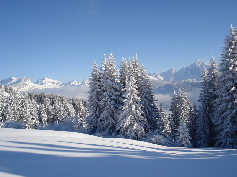
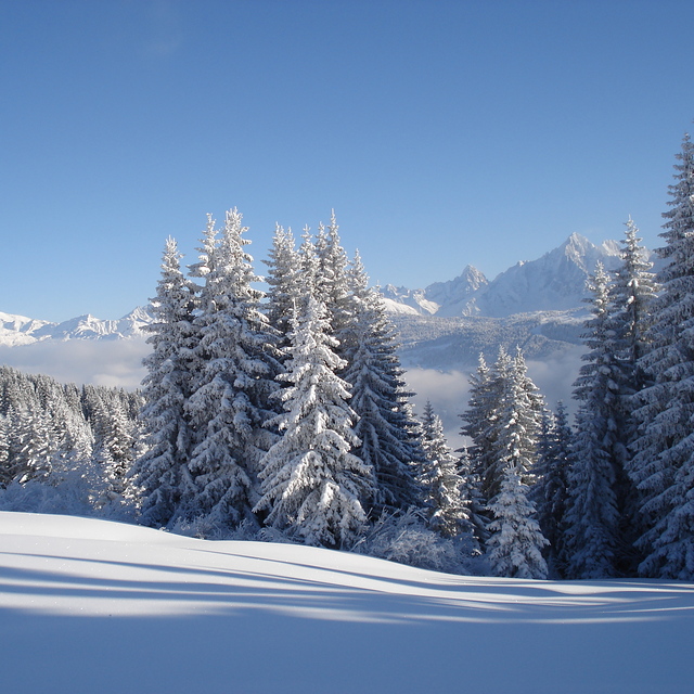
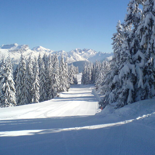
Latest snow reports near Megeve:
Moderate rain reported from Haute-Savoie Mont Blanc Airport/Aéroport Annecy/Meythet at 711 metres elevation only 3 kms WNW of Annecy-LeSemnoz but it is forecast cold enough for snow at the ski area from Annecy-LeSemnoz
Light rain reported from Haute-Savoie Mont Blanc Airport/Aéroport Annecy/Meythet at 711 metres elevation only 3 kms WNW of Annecy-LeSemnoz but it is forecast cold enough for snow at the ski area from Annecy-LeSemnoz
| Top snow depth: | — |
|---|---|
| Bottom snow depth: | — |
| Fresh snowfall depth: | 17 cm |
| Last snowfall: | 15 May 2026 |
| Snow Alerts | Create Alert |
0.1 | Bluebird Powder days Fresh snow, mostly sunny, light wind. |
|---|---|
0.3 | Powder days Fresh snow, limited sun, any wind. |
0.3 | Bluebird days Average snow, mostly sunny, light wind. |
The above table gives the weather forecast for Megeve at the specific elevation of 2350 m. Our sophisticated weather models allow us to provide snow forecasts for the top, middle and bottom ski stations of Megeve. To access the weather forecasts for the other elevations, use the tab navigation above the table. For a wider view of the weather, check out the Weather Map of France.
Click here to read further information on freezing levels and how we forecast our temperatures.
Overall 4.3 Based on 48 votes and 37 reviews
I managed a blast up/down at 0900 14/3/20. This later turned out to be the last day as I drove back to UK. It has not been the best season. Very changeable conditions from heavy rain to deep powder (or vice versa) within 24 hrs. The last morning was brilliant but very quiet. I guess the 'promised lift upgrades' will now be delayed yet again due to poor revenues. Hope I am wrong.
Old freeride. from United Kingdom writes:
I managed a blast up/down at 0900 14/3/20. This later turned out to be the last day as I drove back to UK. It has not been the best season. Very changeable conditions from heavy rain to deep powder (or vice versa) within 24 hrs. The last morning was brilliant but very quiet. I guess the 'promised lift upgrades' will now be delayed yet again due to poor revenues. Hope I am wrong.


 Nearest