

Global Weekly Snow Roundup #314
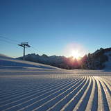
Weekly Global Snow News, updated 14 May 2026: Fresh snowfall in Argentina, Australia and Lesotho signals winter’s approach, while Japan maintains the world’s deepest snowpack.

Next 3 days weather summary:Heavy rain (total 34.0mm), heaviest during Sat morning. Very mild (max 16°C on Mon afternoon, min 3°C on Sat night). Wind will be generally light. | Days 4-6 weather summary:Moderate rain (total 18.0mm), heaviest on Tue night. Warm (max 20°C on Thu afternoon, min 9°C on Tue morning). Wind will be generally light. | |||||||||||||||||
Saturday 16 | Sunday 17 | Monday 18 | Tuesday 19 | Wednesday 20 | Thursday 21 | |||||||||||||
AM | PM | night | AM | PM | night | AM | PM | night | AM | PM | night | AM | PM | night | AM | PM | night | |
heavy rain | light rain | light rain | some clouds | some clouds | clear | clear | risk thun- der | heavy rain | some clouds | some clouds | light rain | light rain | light rain | light rain | rain shwrs | rain shwrs | rain shwrs | |
km/h | ||||||||||||||||||
Snow map |  |  |  |  |  |  | ||||||||||||
— | — | — | — | — | — | — | — | — | — | — | — | — | — | — | — | — | — | |
11 | 3 | 2 | — | — | — | — | 4 | 14 | — | — | 3 | 3 | 2 | 4 | 3 | 2 | 1 | |
max °C | 5 | 7 | 6 | 11 | 13 | 9 | 15 | 16 | 11 | 13 | 16 | 12 | 15 | 16 | 13 | 16 | 20 | 14 |
min °C | 4 | 6 | 3 | 6 | 13 | 3 | 10 | 15 | 7 | 9 | 14 | 9 | 10 | 13 | 10 | 13 | 19 | 9 |
2 | 5 | 3 | 6 | 13 | 2 | 10 | 15 | 7 | 9 | 14 | 9 | 10 | 13 | 10 | 13 | 19 | 9 | |
97 | 93 | 93 | 70 | 60 | 80 | 60 | 66 | 98 | 70 | 56 | 96 | 76 | 69 | 89 | 74 | 58 | 85 | |
1350 | 1650 | 1550 | 1950 | 2300 | 2350 | 2450 | 2600 | 1900 | 2350 | 2600 | 2400 | 2550 | 2750 | 2700 | 2750 | 2900 | 3100 | |
5:31 | — | — | 5:30 | — | — | 5:28 | — | — | 5:28 | — | — | 5:26 | — | — | 5:24 | — | — | |
— | — | 8:39 | — | — | 8:40 | — | — | 8:42 | — | — | 8:44 | — | — | 8:45 | — | — | 8:45 | |
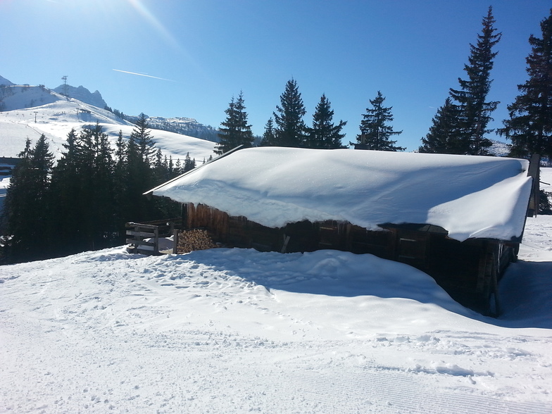
Latest snow reports near Lofer:
| Top snow depth: | — |
|---|---|
| Bottom snow depth: | — |
| Fresh snowfall depth: | 10 cm |
| Last snowfall: | 15 May 2026 |
| Snow Alerts | Create Alert |
0.0 | Bluebird Powder days Fresh snow, mostly sunny, light wind. |
|---|---|
0.0 | Powder days Fresh snow, limited sun, any wind. |
0.0 | Bluebird days Average snow, mostly sunny, light wind. |
The above table gives the weather forecast for Lofer at the specific elevation of 640 m. Our sophisticated weather models allow us to provide snow forecasts for the top, middle and bottom ski stations of Lofer. To access the weather forecasts for the other elevations, use the tab navigation above the table. For a wider view of the weather, check out the Weather Map of Austria.
Click here to read further information on freezing levels and how we forecast our temperatures.
Overall 3.6 Based on 14 votes and 5 reviews
Totally agree with the other comments. If you want a family holiday with no racers speeding around, this is the place to come. Many locals speak English up to a point, but try your German out, they will appreciate it. The Blue runs are wide and flat, the Reds are pretty straight forward as well. There are only two Blacks, and they could almost be French Reds!! Go and take a look at the " Night of Fire". Amazing.
Tim Eden from United Kingdom writes:
Totally agree with the other comments. If you want a family holiday with no racers speeding around, this is the place to come. Many locals speak English up to a point, but try your German out, they will appreciate it.
The Blue runs are wide and flat, the Reds are pretty straight forward as well. There are only two Blacks, and they could almost be French Reds!!
Go and take a look at the " Night of Fire". Amazing.


 Nearest