

Global Weekly Snow Roundup #314
Weekly Global Snow News, updated 14 May 2026: Fresh snowfall in Argentina, Australia and Lesotho signals winter’s approach, while Japan maintains the world’s deepest snowpack.

Next 3 days weather summary:Moderate rain (total 15.0mm), heaviest on Mon afternoon. Freeze-thaw conditions (max 13°C on Sun afternoon, min 0°C on Sat night). Wind will be generally light. | Days 4-6 weather summary:Light rain (total 5.0mm), mostly falling on Tue afternoon. Warm (max 20°C on Thu afternoon, min 7°C on Tue morning). Wind will be generally light. | |||||||||||||||||
Saturday 16 | Sunday 17 | Monday 18 | Tuesday 19 | Wednesday 20 | Thursday 21 | |||||||||||||
AM | PM | night | AM | PM | night | AM | PM | night | AM | PM | night | AM | PM | night | AM | PM | night | |
rain shwrs | light rain | rain shwrs | some clouds | some clouds | rain shwrs | light rain | light rain | light rain | cloudy | light rain | light rain | clear | some clouds | some clouds | some clouds | some clouds | clear | |
km/h | ||||||||||||||||||
Snow map |  |  |  |  |  |  | ||||||||||||
— | — | — | — | — | — | — | — | — | — | — | — | — | — | — | — | — | — | |
1 | 3 | 1 | — | — | 1 | 1 | 5 | 3 | — | 3 | 2 | — | — | — | — | — | — | |
max °C | 4 | 6 | 6 | 8 | 13 | 10 | 9 | 10 | 9 | 10 | 9 | 9 | 14 | 17 | 14 | 17 | 20 | 16 |
min °C | 2 | 5 | 0 | 5 | 12 | 6 | 8 | 10 | 7 | 7 | 9 | 7 | 10 | 17 | 9 | 12 | 20 | 11 |
2 | 3 | 0 | 5 | 12 | 5 | 8 | 9 | 7 | 7 | 8 | 7 | 10 | 17 | 9 | 12 | 20 | 11 | |
81 | 79 | 83 | 61 | 51 | 79 | 81 | 70 | 99 | 80 | 95 | 94 | 69 | 60 | 76 | 48 | 47 | 69 | |
1600 | 1850 | 1350 | 2300 | 2550 | 2200 | 2300 | 2350 | 2150 | 2500 | 2650 | 2750 | 3000 | 3100 | 3550 | 3700 | 3600 | 4050 | |
6:00 | — | — | 5:58 | — | — | 5:58 | — | — | 5:56 | — | — | 5:56 | — | — | 5:54 | — | — | |
— | — | 8:58 | — | — | 8:59 | — | — | 9:00 | — | — | 9:00 | — | — | 9:02 | — | — | 9:04 | |
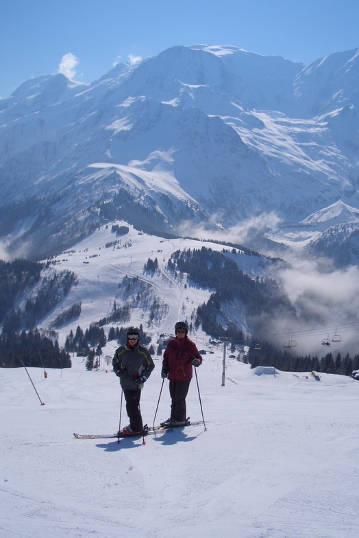
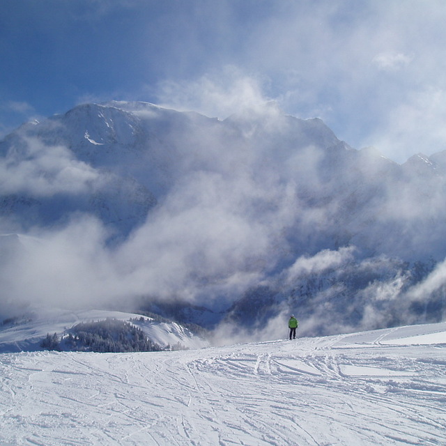
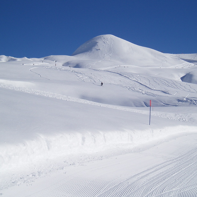
Latest snow reports near Les Houches:
Resort is closed for the season. Snowing lightly, refreshing pistes. from La Giettaz en Aravis
| Top snow depth: | — |
|---|---|
| Bottom snow depth: | — |
| Fresh snowfall depth: | 9 cm |
| Last snowfall: | 15 May 2026 |
| Snow Alerts | Create Alert |
0.0 | Bluebird Powder days Fresh snow, mostly sunny, light wind. |
|---|---|
0.0 | Powder days Fresh snow, limited sun, any wind. |
0.0 | Bluebird days Average snow, mostly sunny, light wind. |

The above table gives the weather forecast for Les Houches at the specific elevation of 1008 m. Our sophisticated weather models allow us to provide snow forecasts for the top, middle and bottom ski stations of Les Houches. To access the weather forecasts for the other elevations, use the tab navigation above the table. For a wider view of the weather, check out the Weather Map of France.
Click here to read further information on freezing levels and how we forecast our temperatures.
Overall 3.9 Based on 24 votes and 21 reviews
Second time to Les Houches. Really long queues to get up the mountain and many hundreds of children given priority so we had to wait nearly an hour, on 2 separate days, to get on the gondola. Also had to wait another hour to get the lift passes so it was 2 hours to get up the mountain on our first day. Trails down were ice rock and grass yet remained open. Would not recommend this resort.
mary from Ireland writes:
Second time to Les Houches. Really long queues to get up the mountain and many hundreds of children given priority so we had to wait nearly an hour, on 2 separate days, to get on the gondola. Also had to wait another hour to get the lift passes so it was 2 hours to get up the mountain on our first day. Trails down were ice rock and grass yet remained open. Would not recommend this resort.


 Nearest