Have just returned from spending Christmas in Lermoos.
Hospitality was all it was cracked up to be.
Hotel:
We stayed at the Zugspitz sport hotel at the top end of the village. It is a four star hotel where comfort is assured. We had a good gym and the usual steam and saunas available and the food was immense. Can not fault it at all.
Skiing conditions:
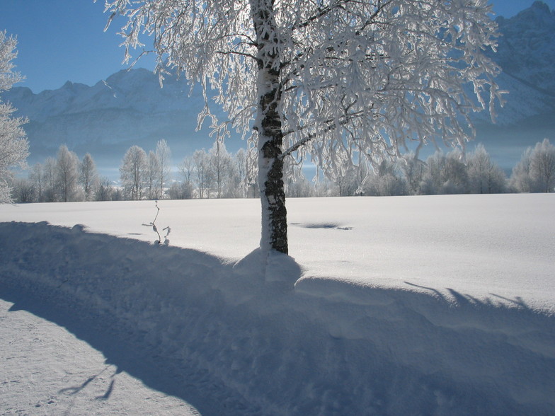
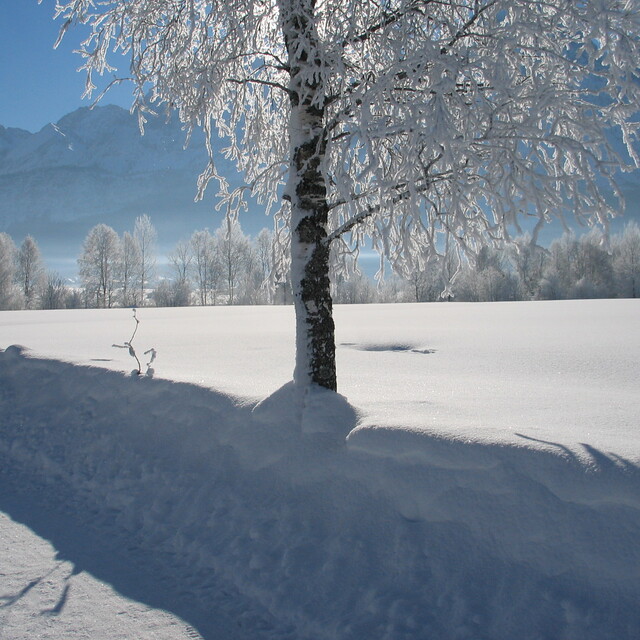
Bearing in mind they had a big dump om the Saturday, and then nothing except a nice light fall on Xmas day, no complaints, the weather was so cold that the snow makers were on all the time and so it was always fresh and white each morning.
Resort: and others in the valley
Ironically we did not ski much in Lermoos itself, but the nice ride up in the gondola led to an interesting blue run all the way down, which my wife and children with only artificial slope lessons in the UK managed to pick their way through. Just a shame the first forty metres from the lifts always seems so steep as they loose confidence, but they were quite manegable really. All in all seemed a good base to ski, with not too many queues, although people do pour over the border on weekends and holidays to clutter it up.
The family had lessons at Biberwier and I can strongly recommend both the private tutors from the ski school, as well as the slopes. Spot on for novices, while I went higher and had fun on the higher reds. Terrific slopes well marked, groomed and plenty of drinking holes.
Berwang, on the other hand, was a nightmare for us. Whilst it had undoubtably some lovely sweeping runs, they were not numbered and often the pistes themselves bore little resemblance to the actual piste maps. Taking the family up from the gondola we came on to what was meant to be a blue, but was in fact a medium red and this totally threw them causing much grief between me and her indoors. Seriously though not a good place for beginners or nervous skiers who like to know what's around the corner. The other problem is that the main access to the mountain got very crowded with ten to fifteen minute waits. To get down to it was a challenge for some as well. Shame because the hills had loads of snow and there were excellent long pistes through trees, but I think it was a poorly designed resort.
Ehrwald: now this was a peach of a place, they have two centres, we went to the Alm lifts at the far end of the village. Fantastic skiing with wide runs which within the same piste had varying levels, e.g the right sides contained some rather tricky ripples and jumps whilst the left side was flat and allowed the family to watch me make a fool of myself.
All pistes were well marked and numbered, and the levels corresponded with those on the maps..Two excellent days here.
Finally the Zugspitz glacier itself:
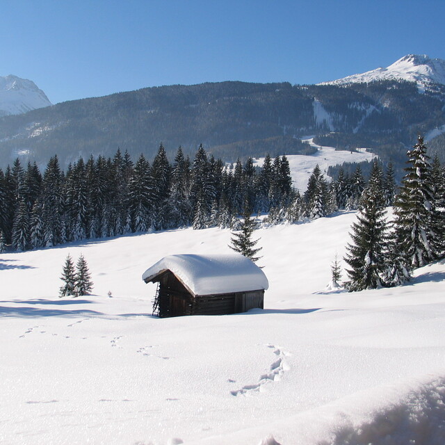
Wow. Highest mountain in Germany and Austria, fantastic blue runs, and some reds, and guaranteed skiing due to the altitude but wrap up well; often got to minus 17. We went up just to suss it out but spent the whole day up there walking, probably not for the top skiers, but an experience to beat the Hintertux except that you could not ski down to the bottom as the skiing is contained in a very high bowl, but go there anyway.
Getting around:
All the above areas are covered on the superskipass, and of course there is a free ski bus. We found that the buses had limited visits during the day though, and as we drove it was so easy to just drive ourselves. Be sure to have snow tyres though, we did not find a parking place or climb that defeated my old Mondeo with a good set of Pirelli snow tyres but would have been well stuck without them. From Lermoos there is nowhere that took more than 15 minutes drive to get to so it is a very good base camp.
Getting there:
We drove. It took about 8 hours from the tunnel. Easy roads and toll free. We have gone to different places every year for six years now and would not consider doing the fly tour operators thing again.
Overall:
Great venue, we still have other places to look at next year, but this is certainly one, like Adelboden. We would consider coming back to in the future. In ten days we only scratched the surface of it. The hotel in particular was probably the best we have stayed in.


 Nearest