

America’s Next Indoor Snow Centre Takes Shape
Construction of a new indoor snow centre for skiers, boarders and tubers appears to be making good progress at Heritage Farm in Wayne County, West Virginia.

Next 4 days weather summary:Light rain (total 5.0mm), mostly falling on Thu morning. Warm (max 27°C on Sat afternoon, min 8°C on Thu night). Wind will be generally light. | Days 5-7 weather summary:Light rain (total 9.0mm), mostly falling on Sun night. Warm (max 29°C on Tue afternoon, min 12°C on Sun night). Wind will be generally light. | |||||||||||||||
Thursday 23 | Friday 24 | Saturday 25 | Sunday 26 | Monday 27 | ||||||||||||
night | AM | PM | night | AM | PM | night | AM | PM | night | AM | PM | night | AM | PM | night | |
some clouds | rain shwrs | rain shwrs | rain shwrs | clear | clear | some clouds | clear | some clouds | rain shwrs | some clouds | light rain | rain shwrs | rain shwrs | rain shwrs | clear | |
km/h | ||||||||||||||||
Snow map |  |  |  |  |  |  | ||||||||||
— | — | — | — | — | — | — | — | — | — | — | — | — | — | — | — | |
mm | — | 1 | 2 | 2 | — | — | — | — | — | 1 | — | 1 | 4 | 1 | 2 | — |
max °C | 16 | 16 | 18 | 14 | 19 | 22 | 17 | 24 | 27 | 21 | 25 | 22 | 16 | 19 | 22 | 18 |
min °C | 10 | 13 | 18 | 8 | 13 | 21 | 12 | 16 | 27 | 15 | 18 | 19 | 12 | 15 | 22 | 14 |
chill °C | 10 | 13 | 18 | 8 | 13 | 21 | 12 | 16 | 27 | 14 | 18 | 19 | 12 | 15 | 22 | 14 |
Humid % | 65 | 62 | 43 | 74 | 40 | 29 | 54 | 28 | 25 | 62 | 35 | 63 | 79 | 69 | 58 | 82 |
Freeze m | 3150 | 3050 | 3100 | 2900 | 3500 | 3800 | 4050 | 4000 | 4250 | 3950 | 3900 | 3700 | 3650 | 3750 | 4000 | 4600 |
— | 5:41 | — | — | 5:43 | — | — | 5:45 | — | — | 5:46 | — | — | 5:47 | — | — | |
— | — | — | 9:01 | — | — | 9:00 | — | — | 9:00 | — | — | 8:58 | — | — | 8:57 | |
Go pro and carve into:
Avalanche information: European Avalanche Warning Services (EAWS)
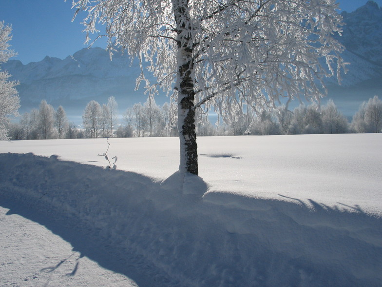
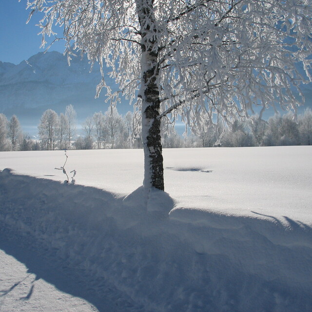
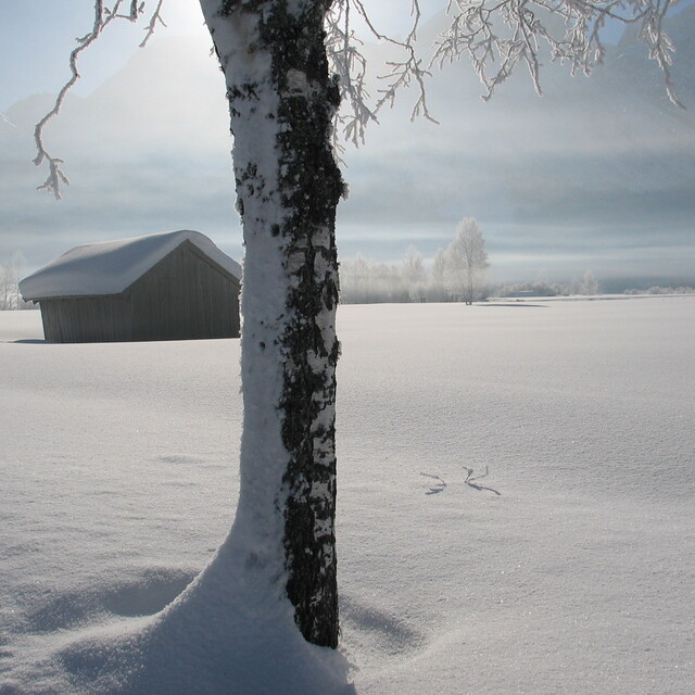
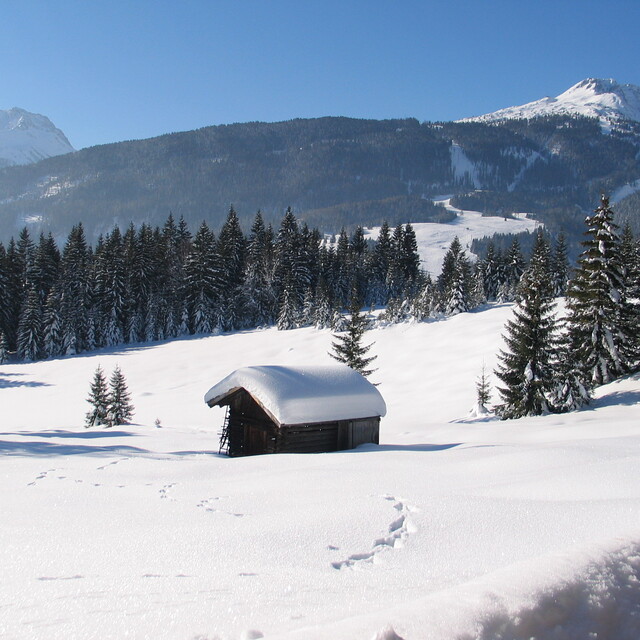
Latest snow reports near Lermoos:
| Top snow depth: | 0 cm |
|---|---|
| Bottom snow depth: | 0 cm |
| Fresh snowfall depth: | — |
| Last snowfall: | 16 May 2026 |
| Snow Alerts | Create Alert |
0.0 | Bluebird Powder days Fresh snow, mostly sunny, light wind. |
|---|---|
0.0 | Powder days Fresh snow, limited sun, any wind. |
0.0 | Bluebird days Average snow, mostly sunny, light wind. |
The above table gives the weather forecast for Lermoos at the specific elevation of 1004 m. Our sophisticated weather models allow us to provide snow forecasts for the top, middle and bottom ski stations of Lermoos. To access the weather forecasts for the other elevations, use the tab navigation above the table. For a wider view of the weather, check out the Weather Map of Austria.
Click here to read further information on freezing levels and how we forecast our temperatures.
Overall 3.1 Based on 16 votes and 8 reviews
Spent a fantastic New Year in Lermmos. Very friendly people. It does get busy as it is a day trip from Munich but no real bad queues. Great hillside lunch spots and some good snow. Did get a little icy at times when the winds got up but it was January! Too many boarders for me but that is common now at many resorts. Overall, I would go again. Certainly, the whole arena was good. Erhwald was a good option on the days when the wind closed the lifts at Lermoos. Both villages had plenty of variety for eating, the swimming pool at Erchwald being a surprising find.
Matty K from United Kingdom writes:
Spent a fantastic New Year in Lermmos. Very friendly people. It does get busy as it is a day trip from Munich but no real bad queues. Great hillside lunch spots and some good snow. Did get a little icy at times when the winds got up but it was January! Too many boarders for me but that is common now at many resorts.
Overall, I would go again. Certainly, the whole arena was good. Erhwald was a good option on the days when the wind closed the lifts at Lermoos. Both villages had plenty of variety for eating, the swimming pool at Erchwald being a surprising find.


 Nearest