

Global Weekly Snow Roundup #318
Weekly Snow News for the world, updated 11 June 2026: Australia's season begins, Val d’Isère reopens and major snowfall is forecast for the Andes.

Next 4 days weather summary:Mostly dry. Very mild (max 11°C on Sat afternoon, min 7°C on Sun night). Wind will be generally light. | Days 5-7 weather summary:Mostly dry. Very mild (max 13°C on Thu afternoon, min 7°C on Mon night). Wind will be generally light. | |||||||||||||||
Saturday 13 | Sunday 14 | Monday 15 | Tuesday 16 | Wednesday 17 | ||||||||||||
night | AM | PM | night | AM | PM | night | AM | PM | night | AM | PM | night | AM | PM | night | |
clear | clear | clear | some clouds | some clouds | some clouds | clear | clear | clear | clear | some clouds | clear | clear | clear | clear | clear | |
km/h | ||||||||||||||||
Snow map |  |  |  |  |  |  | ||||||||||
— | — | — | — | — | — | — | — | — | — | — | — | — | — | — | — | |
— | — | — | — | — | — | — | — | — | — | — | — | — | — | — | — | |
max °C | 8 | 10 | 11 | 11 | 9 | 9 | 9 | 7 | 8 | 8 | 8 | 9 | 9 | 10 | 11 | 12 |
min °C | 8 | 8 | 11 | 9 | 8 | 9 | 7 | 7 | 8 | 7 | 8 | 9 | 9 | 9 | 11 | 11 |
5 | 5 | 10 | 8 | 6 | 8 | 5 | 5 | 7 | 7 | 7 | 7 | 8 | 9 | 11 | 10 | |
44 | 31 | 25 | 30 | 26 | 36 | 38 | 45 | 50 | 38 | 52 | 55 | 61 | 50 | 59 | 47 | |
3950 | 4000 | 4100 | 3950 | 3800 | 3700 | 3650 | 3500 | 3550 | 3700 | 3700 | 3750 | 3850 | 4050 | 4100 | 4250 | |
— | 5:43 | — | — | 5:43 | — | — | 5:43 | — | — | 5:43 | — | — | 5:43 | — | — | |
— | — | — | 9:24 | — | — | 9:24 | — | — | 9:25 | — | — | 9:25 | — | — | 9:27 | |
Go pro and carve into:
Avalanche information: European Avalanche Warning Services (EAWS)
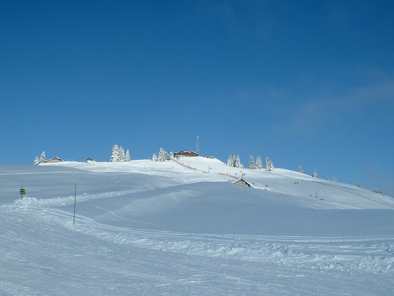
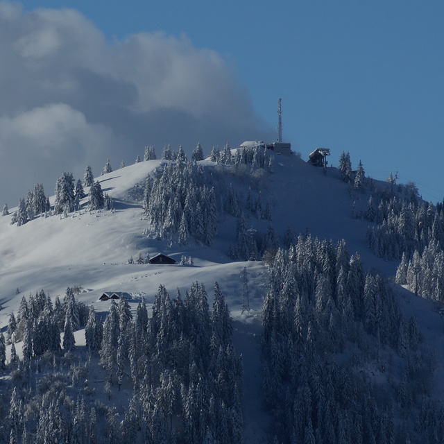
Latest snow reports near La Clusaz:
| Top snow depth: | 0 cm |
|---|---|
| Bottom snow depth: | 0 cm |
| Fresh snowfall depth: | — |
| Last snowfall: | 16 May 2026 |
| Snow Alerts | Create Alert |
0.0 | Bluebird Powder days Fresh snow, mostly sunny, light wind. |
|---|---|
0.2 | Powder days Fresh snow, limited sun, any wind. |
0.0 | Bluebird days Average snow, mostly sunny, light wind. |

The above table gives the weather forecast for La Clusaz at the specific elevation of 2500 m. Our sophisticated weather models allow us to provide snow forecasts for the top, middle and bottom ski stations of La Clusaz. To access the weather forecasts for the other elevations, use the tab navigation above the table. For a wider view of the weather, check out the Weather Map of France.
Click here to read further information on freezing levels and how we forecast our temperatures.
Overall 4.1 Based on 41 votes and 24 reviews
The most bad prepared pistes I have ever seen. We traveled 1200 km for nothing. Cheaters, one you report about pistes on internet, completely different in realty.
Vladimir Boschi from Croatia writes:
The most bad prepared pistes I have ever seen.
We traveled 1200 km for nothing.
Cheaters, one you report about pistes on internet, completely different in realty.


 Nearest