
Global Weekly Snow Roundup #314
Weekly Global Snow News, updated 14 May 2026: Fresh snowfall in Argentina, Australia and Lesotho signals winter’s approach, while Japan maintains the world’s deepest snowpack.

Next 3 days weather summary:Light rain (total 3.0mm), mostly falling on Sat morning. Very mild (max 10°C on Mon afternoon, min 2°C on Sat morning). Wind will be generally light. | Days 4-6 weather summary:Moderate rain (total 10.0mm), heaviest on Wed afternoon. Very mild (max 14°C on Thu afternoon, min 6°C on Tue night). Wind will be generally light. | |||||||||||||||||
Saturday 16 | Sunday 17 | Monday 18 | Tuesday 19 | Wednesday 20 | Thursday 21 | |||||||||||||
AM | PM | night | AM | PM | night | AM | PM | night | AM | PM | night | AM | PM | night | AM | PM | night | |
light rain | light rain | some clouds | clear | some clouds | some clouds | clear | cloudy | some clouds | clear | light rain | rain shwrs | cloudy | rain shwrs | rain shwrs | some clouds | rain shwrs | rain shwrs | |
km/h | ||||||||||||||||||
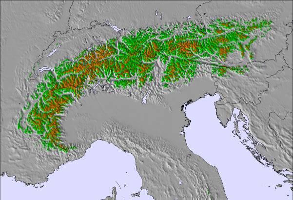
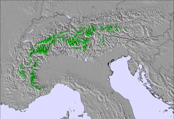
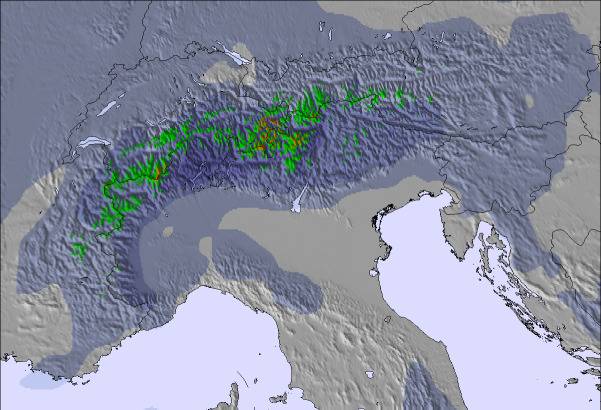
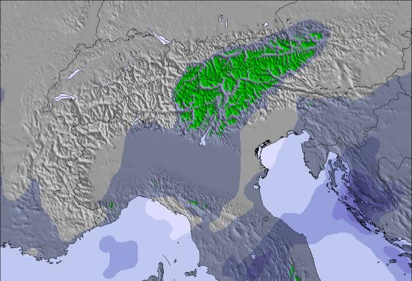
Snow map |  |  | 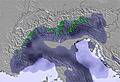 | 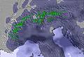 | 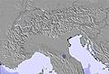 | 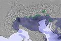 | ||||||||||||
— | — | — | — | — | — | — | — | — | — | — | — | — | — | — | — | — | — | |
1 | 2 | — | — | — | — | — | — | — | — | 2 | 1 | — | 3 | 1 | — | 2 | 1 | |
max °C | 3 | 6 | 4 | 7 | 9 | 6 | 8 | 10 | 7 | 9 | 10 | 7 | 10 | 12 | 9 | 12 | 14 | 10 |
min °C | 2 | 5 | 2 | 4 | 9 | 3 | 6 | 10 | 4 | 7 | 9 | 6 | 7 | 11 | 7 | 9 | 12 | 8 |
-1 | 1 | -2 | 2 | 8 | 1 | 5 | 9 | 3 | 7 | 8 | 6 | 6 | 11 | 7 | 9 | 12 | 8 | |
87 | 59 | 59 | 58 | 55 | 81 | 70 | 60 | 68 | 72 | 67 | 79 | 75 | 69 | 73 | 69 | 62 | 72 | |
1800 | 2100 | 2100 | 2150 | 2400 | 2250 | 2400 | 2550 | 2500 | 2500 | 2600 | 2700 | 2700 | 2800 | 2850 | 2900 | 3050 | 2950 | |
5:28 | — | — | 5:26 | — | — | 5:26 | — | — | 5:24 | — | — | 5:22 | — | — | 5:22 | — | — | |
— | — | 8:28 | — | — | 8:29 | — | — | 8:30 | — | — | 8:31 | — | — | 8:32 | — | — | 8:34 | |
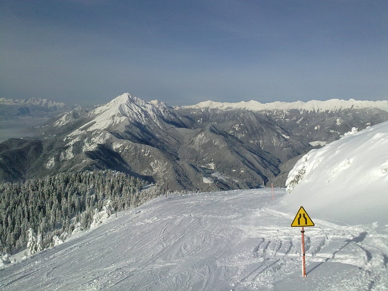
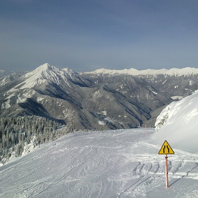
Latest snow reports near Krvavec:
| Top snow depth: | — |
|---|---|
| Bottom snow depth: | — |
| Fresh snowfall depth: | 18 cm |
| Last snowfall: | 15 May 2026 |
| Snow Alerts | Create Alert |
0.0 | Bluebird Powder days Fresh snow, mostly sunny, light wind. |
|---|---|
0.1 | Powder days Fresh snow, limited sun, any wind. |
0.0 | Bluebird days Average snow, mostly sunny, light wind. |
The above table gives the weather forecast for Krvavec at the specific elevation of 1450 m. Our sophisticated weather models allow us to provide snow forecasts for the top, middle and bottom ski stations of Krvavec. To access the weather forecasts for the other elevations, use the tab navigation above the table. For a wider view of the weather, check out the Weather Map of Slovenia.
Click here to read further information on freezing levels and how we forecast our temperatures.
Overall 3.4 Based on 22 votes and 7 reviews
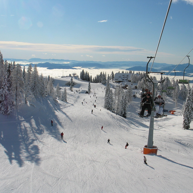
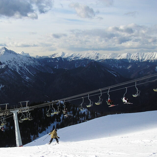
Went to try out Krvavec for a day and went straight back for a second. It's limited by many resort standards but is a good size for Slovenia. I reckon it's a great place for the kids to learn (much better than Kranjska Gora) with some good long easy blues for them to progress to. My five year old had no problems. There is enough for the whole family to get something out of it. Krvavec is just that bit higher than other resorts (Kanin excepted) so snow conditions are likely to be pretty good. Still plenty of snow when we were there in early April 09. Krvavec suits beginners and intermediates. It also has a good atmosphere. There are several bars on the pistes. All in all I was very impressed. I went on a weekday and am told it can get pretty busy at weekends as locals from the capital flock to it. TC
tony croxley from United Kingdom writes:
Went to try out Krvavec for a day and went straight back for a second. It's limited by many resort standards but is a good size for Slovenia. I reckon it's a great place for the kids to learn (much better than Kranjska Gora) with some good long easy blues for them to progress to. My five year old had no problems. There is enough for the whole family to get something out of it. Krvavec is just that bit higher than other resorts (Kanin excepted) so snow conditions are likely to be pretty good. Still plenty of snow when we were there in early April 09. Krvavec suits beginners and intermediates. It also has a good atmosphere. There are several bars on the pistes. All in all I was very impressed. I went on a weekday and am told it can get pretty busy at weekends as locals from the capital flock to it. TC

 Nearest