

Global Weekly Snow Roundup #318
Weekly Snow News for the world, updated 11 June 2026: Australia's season begins, Val d’Isère reopens and major snowfall is forecast for the Andes.

Next 4 days weather summary:Moderate rain (total 18.0mm), heaviest on Sun night. Very mild (max 19°C on Sat afternoon, min 11°C on Fri night). Wind will be generally light. | Days 5-7 weather summary:Heavy rain (total 21.0mm), heaviest during Mon night. Warm (max 23°C on Thu afternoon, min 10°C on Mon night). Wind will be generally light. | |||||||||||||||
Saturday 13 | Sunday 14 | Monday 15 | Tuesday 16 | Wednesday 17 | ||||||||||||
night | AM | PM | night | AM | PM | night | AM | PM | night | AM | PM | night | AM | PM | night | |
some clouds | some clouds | rain shwrs | rain shwrs | t-storm risk | t-storm risk | rain shwrs | light rain | light rain | rain shwrs | some clouds | light rain | rain shwrs | clear | some clouds | clear | |
km/h | ||||||||||||||||
Snow map |  |  |  |  |  |  | ||||||||||
— | — | — | — | — | — | — | — | — | — | — | — | — | — | — | — | |
— | — | 1 | 1 | 1 | 2 | 7 | 2 | 4 | 14 | — | 2 | 5 | — | — | — | |
max °C | 12 | 16 | 19 | 17 | 16 | 17 | 16 | 11 | 12 | 11 | 12 | 17 | 14 | 16 | 20 | 18 |
min °C | 11 | 13 | 19 | 13 | 14 | 17 | 11 | 11 | 11 | 10 | 10 | 16 | 12 | 13 | 19 | 16 |
11 | 13 | 19 | 13 | 14 | 17 | 11 | 11 | 10 | 10 | 10 | 16 | 12 | 13 | 19 | 16 | |
73 | 60 | 55 | 73 | 78 | 67 | 89 | 97 | 98 | 87 | 85 | 62 | 85 | 63 | 54 | 75 | |
3350 | 3450 | 3650 | 3800 | 3750 | 3750 | 3500 | 3250 | 3250 | 3100 | 3250 | 3400 | 3300 | 3650 | 3850 | 4050 | |
— | 5:11 | — | — | 5:11 | — | — | 5:11 | — | — | 5:11 | — | — | 5:11 | — | — | |
— | — | — | 8:58 | — | — | 8:58 | — | — | 8:59 | — | — | 8:59 | — | — | 8:59 | |
Go pro and carve into:
Avalanche information: European Avalanche Warning Services (EAWS)
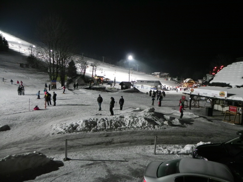
Latest snow reports near Kranjska Gora:
| Top snow depth: | 0 cm |
|---|---|
| Bottom snow depth: | 0 cm |
| Fresh snowfall depth: | — |
| Last snowfall: | 15 May 2026 |
| Snow Alerts | Create Alert |
0.0 | Bluebird Powder days Fresh snow, mostly sunny, light wind. |
|---|---|
0.0 | Powder days Fresh snow, limited sun, any wind. |
0.0 | Bluebird days Average snow, mostly sunny, light wind. |
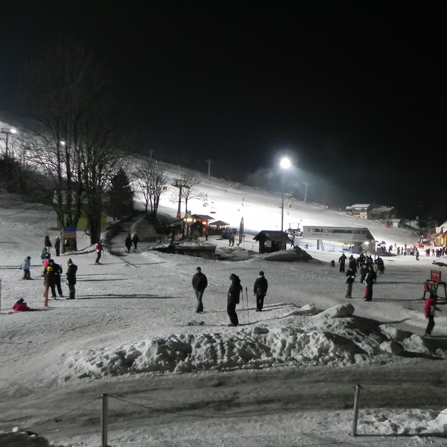
The above table gives the weather forecast for Kranjska Gora at the specific elevation of 1216 m. Our sophisticated weather models allow us to provide snow forecasts for the top, middle and bottom ski stations of Kranjska Gora. To access the weather forecasts for the other elevations, use the tab navigation above the table. For a wider view of the weather, check out the Weather Map of Slovenia.
Click here to read further information on freezing levels and how we forecast our temperatures.
Overall 3.8 Based on 19 votes and 16 reviews
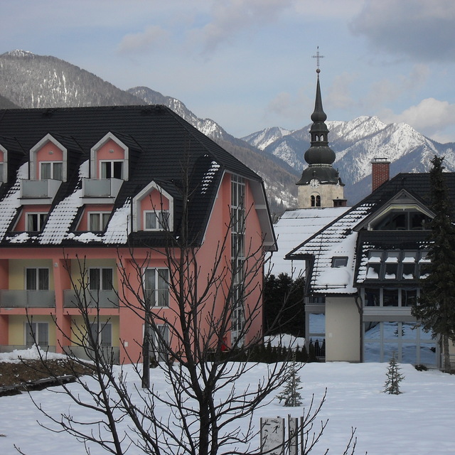
Stayed in Hotel Alpina. Great for ski in/out. Food reasonable for a 3 star. Great skiing and well groomed pistes although busy on a Sunday and bank holidays. Hired what I though to be VIP skis to find they were 2007 models and the poles were about to break. Total rip off from this company; anywhere else VIP skis were this year's or last year's. Best for nightlife, service and prices go to the Vopa Bar. Best in Europe.
D. Armstrong from United Kingdom writes:
Stayed in Hotel Alpina. Great for ski in/out. Food reasonable for a 3 star. Great skiing and well groomed pistes although busy on a Sunday and bank holidays. Hired what I though to be VIP skis to find they were 2007 models and the poles were about to break. Total rip off from this company; anywhere else VIP skis were this year's or last year's.
Best for nightlife, service and prices go to the Vopa Bar. Best in Europe.


 Nearest