The above table gives the weather forecast for Kiroro Resort at the specific elevation of 1180 m. Our sophisticated weather models allow us to provide snow forecasts for the top, middle and bottom ski stations of Kiroro Resort. To access the weather forecasts for the other elevations, use the tab navigation above the table. For a wider view of the weather, check out the Weather Map of Japan.
Click here to read further information on freezing levels and how we forecast our temperatures.
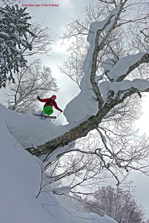
We have skied Kiroro for the past 14 years; however, due to covid and a family illness have not been back to our home in Niseko for 4 years.
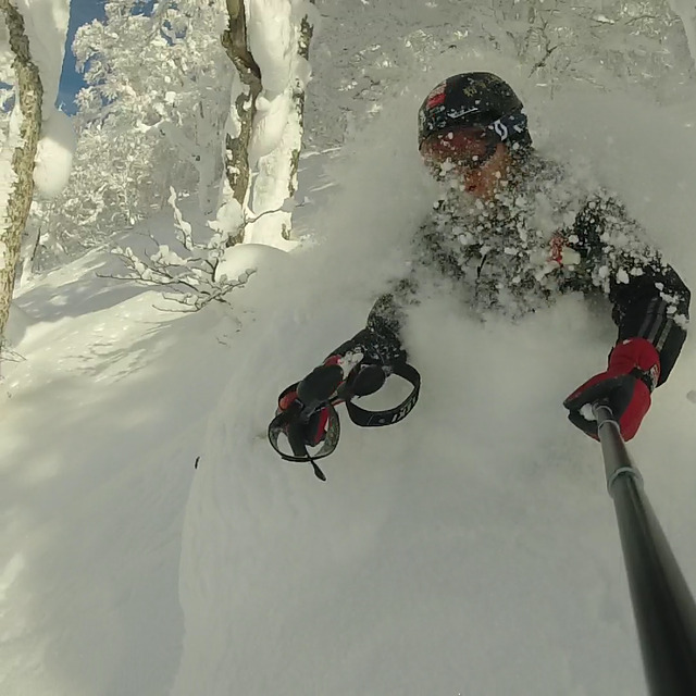
We were excited to ski Kiroro yesterday on a big powder day, started with a great cappucino and some Dan Dan noodles for lunch.
Sadly, since Club Med seem to have taken over, our Kiwi owned coffee shop has gone replaced by the worst watery machine coffee we have ever had. And the lunch restaurant, food was inedible. I wondered why it was pretty empty when we entered. And a waffle surrounded sausage...what are they thinking?
And no longer having to register as we excited the gates...
Such a shame as it was an amazing Japanese skiing experience and now not so.
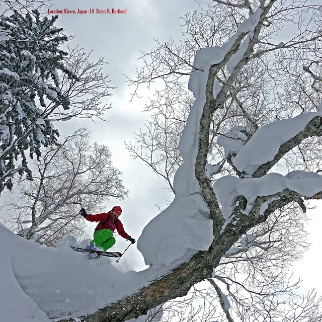
We have skied Kiroro for the past 14 years; however, due to covid and a family illness have not been back to our home in Niseko for 4 years.
We were excited to ski Kiroro yesterday on a big powder day, started with a great cappucino and some Dan Dan noodles for lunch.
Sadly, since Club Med seem to have taken over, our Kiwi owned coffee shop has gone replaced by the worst watery machine coffee we have ever had. And the lunch restaurant, food was inedible. I wondered why it was pretty empty when we entered. And a waffle surrounded sausage...what are they thinking?
And no longer having to register as we excited the gates...
Such a shame as it was an amazing Japanese skiing experience and now not so.
Free Snow-Forecast.com weather widget for your website
Embed the Kiroro Resort weather widget on your site for free. It provides a weekly snapshot of snow and rain conditions across all elevations. Follow the two quick steps to grab your custom code and paste it into your site. Choose between metric or imperial units. Click here to get the code.


 Nearest