

Portillo Storm Snowfall Total Passes 5m / 17 Feet
A snow storm that has now continued for nine days has taken Chilean ski resort Portillo to a snowfall total of 5.2 metres (17 feet) so far, with more snow forecast.

Next 3 days weather summary:Heavy rain (total 33.0mm), heaviest during Wed afternoon. Very mild (max 18°C on Wed morning, min 15°C on Fri night). Wind will be generally light. | Days 4-6 weather summary:Light rain (total 6.0mm), mostly falling on Sat morning. Warm (max 23°C on Sun morning, min 14°C on Sat night). Wind will be generally light. | |||||||||||||||||
Wednesday 29 | Thursday 30 | Friday 31 | Saturday 1 | Sunday 2 | Monday 3 | |||||||||||||
AM | PM | night | AM | PM | night | AM | PM | night | AM | PM | night | AM | PM | night | AM | PM | night | |
light rain | mod. rain | mod. rain | light rain | light rain | light rain | light rain | light rain | light rain | light rain | light rain | rain shwrs | some clouds | light rain | clear | clear | clear | some clouds | |
km/h | ||||||||||||||||||
Snow map |  |  |  |  |  |  | ||||||||||||
— | — | — | — | — | — | — | — | — | — | — | — | — | — | — | — | — | — | |
mm | 1 | 8 | 9 | 2 | 2 | 2 | 3 | 4 | 2 | 2 | 2 | 1 | — | 1 | — | — | — | — |
max °C | 18 | 17 | 16 | 18 | 17 | 16 | 18 | 17 | 15 | 17 | 17 | 15 | 23 | 20 | 16 | 23 | 23 | 17 |
min °C | 18 | 17 | 16 | 17 | 17 | 16 | 17 | 16 | 15 | 17 | 16 | 14 | 20 | 18 | 14 | 21 | 19 | 16 |
chill °C | 18 | 17 | 16 | 17 | 17 | 16 | 17 | 16 | 15 | 17 | 16 | 14 | 20 | 18 | 14 | 21 | 19 | 16 |
Humid % | 94 | 95 | 96 | 97 | 95 | 98 | 97 | 98 | 96 | 89 | 92 | 84 | 75 | 83 | 77 | 55 | 62 | 74 |
Freeze m | 4400 | 4250 | 4200 | 4250 | 4250 | 4050 | 4050 | 4050 | 4350 | 4400 | 4550 | 4550 | 4600 | 4850 | 4900 | 4950 | 5050 | 5100 |
4:22 | — | — | 4:22 | — | — | 4:24 | — | — | 4:24 | — | — | 4:26 | — | — | 4:26 | — | — | |
— | 7:00 | — | — | 7:00 | — | — | 6:59 | — | — | 6:58 | — | — | 6:57 | — | — | 6:54 | — | |
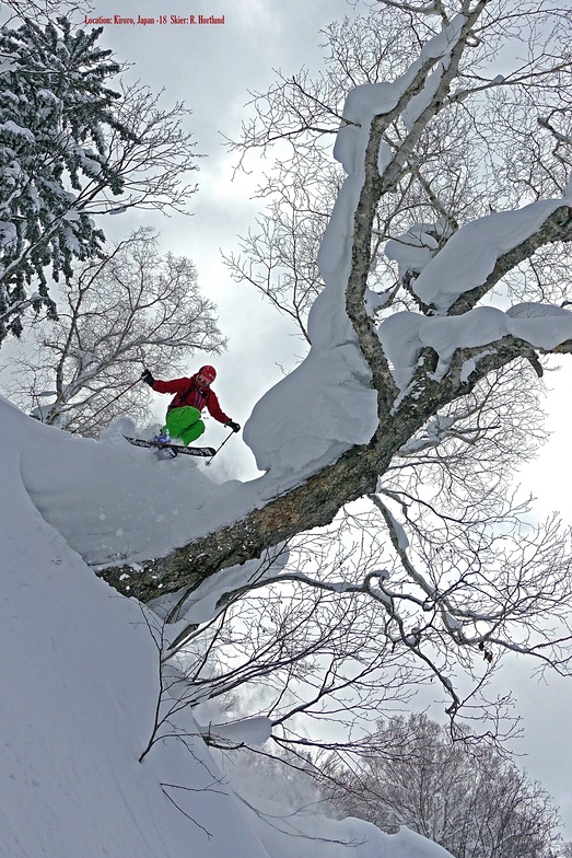
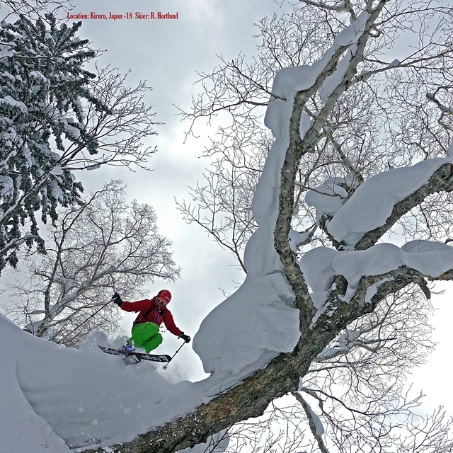
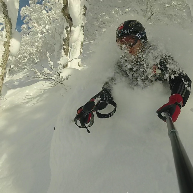
Go pro and carve into:
Avalanche information: Japan Avalanche Network
Latest snow reports near Kiroro Resort:
| Top snow depth: | — |
|---|---|
| Bottom snow depth: | — |
| Fresh snowfall depth: | — |
| Last snowfall: | 9 May 2026 |
| Snow Alerts | Create Alert |
0.0 | Bluebird Powder days Fresh snow, mostly sunny, light wind. |
|---|---|
0.0 | Powder days Fresh snow, limited sun, any wind. |
0.0 | Bluebird days Average snow, mostly sunny, light wind. |
The above table gives the weather forecast for Kiroro Resort at the specific elevation of 570 m. Our sophisticated weather models allow us to provide snow forecasts for the top, middle and bottom ski stations of Kiroro Resort. To access the weather forecasts for the other elevations, use the tab navigation above the table. For a wider view of the weather, check out the Weather Map of Japan.
Click here to read further information on freezing levels and how we forecast our temperatures.
Resort name is also written as Kiroro Snow World.
Overall 3.5 Based on 11 votes and 12 reviews
Caution All designated tree run areas closed in Kiroro for the season. They say due to not enough ski patrol numbers!
shane from sydney from Australia writes:
Caution
All designated tree run areas closed in Kiroro for the season. They say due to not enough ski patrol numbers!


 Nearest