
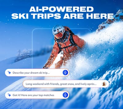
Is AI About to Change How We Plan Ski Trips?
Meet WeSki.ai - the new AI-powered trip planner from the ski experts at WeSki that turns your ideas into a fully planned ski trip in seconds, simply by describing what you want.

Next 3 days weather summary:A moderate fall of snow, heaviest on Fri night. Freeze-thaw conditions (max 3°C on Sun afternoon, min -5°C on Fri night). Wind will be generally light. | Days 4-6 weather summary:Mild with moderate rain (total 13.0mm) on Mon afternoon, Becoming colder with a light covering of snow, mostly falling on Mon night. Freeze-thaw conditions (max 6°C on Thu morning, min 0°C on Mon night). Wind will be generally light. | ||||||||||||||||
Fri 15 | Saturday 16 | Sunday 17 | Monday 18 | Tuesday 19 | Wednesday 20 | ||||||||||||
PM | night | AM | PM | night | AM | PM | night | AM | PM | night | AM | PM | night | AM | PM | night | |
light snow | heavy snow | light snow | light snow | snow shwrs | clear | some clouds | some clouds | cloudy | light rain | mod. snow | some clouds | light rain | light snow | light snow | rain shwrs | rain shwrs | |
km/h | |||||||||||||||||
Snow map |  |  |  |  |  |  | |||||||||||
3 | 10 | 1 | 1 | — | — | — | — | — | — | 6 | — | — | — | — | — | — | |
— | — | — | — | — | — | — | — | — | 3 | — | — | 2 | 2 | 1 | 3 | 2 | |
max °C | -2 | -3 | -4 | -2 | -3 | 0 | 3 | 2 | 2 | 4 | 2 | 2 | 4 | 3 | 2 | 5 | 4 |
min °C | -2 | -5 | -5 | -3 | -5 | -2 | 1 | -1 | 0 | 4 | 0 | 0 | 3 | 2 | 2 | 5 | 3 |
-5 | -9 | -9 | -6 | -5 | -2 | -1 | -4 | -2 | 2 | -2 | 0 | 3 | 1 | 1 | 4 | 1 | |
97 | 97 | 90 | 83 | 82 | 61 | 69 | 87 | 79 | 76 | 97 | 77 | 79 | 97 | 94 | 83 | 88 | |
1800 | 1550 | 1600 | 1800 | 1100 | 2150 | 2500 | 2050 | 2450 | 2700 | 2100 | 2400 | 2600 | 2450 | 2500 | 2800 | 2600 | |
— | — | 5:43 | — | — | 5:41 | — | — | 5:39 | — | — | 5:39 | — | — | 5:37 | — | — | |
— | 8:45 | — | — | 8:47 | — | — | 8:49 | — | — | 8:50 | — | — | 8:51 | — | — | 8:52 | |
Latest snow reports near Ischgl:
| Top snow depth: | 0 cm |
|---|---|
| Bottom snow depth: | 0 cm |
| Fresh snowfall depth: | 14 cm |
| Last snowfall: | 14 May 2026 |
| Snow Alerts | Create Alert |
0.2 | Bluebird Powder days Fresh snow, mostly sunny, light wind. |
|---|---|
1.0 | Powder days Fresh snow, limited sun, any wind. |
0.0 | Bluebird days Average snow, mostly sunny, light wind. |
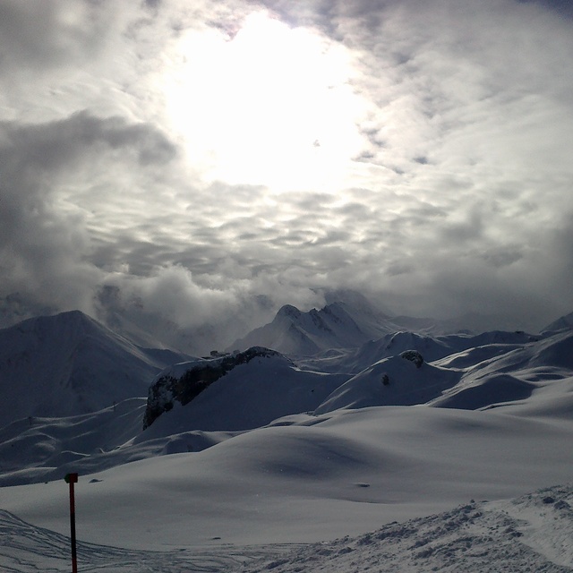
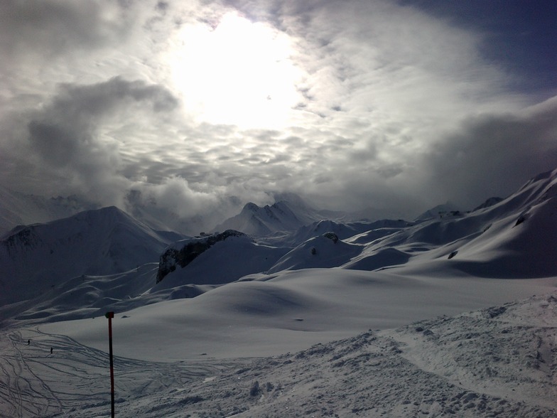
The above table gives the weather forecast for Ischgl at the specific elevation of 2126 m. Our sophisticated weather models allow us to provide snow forecasts for the top, middle and bottom ski stations of Ischgl. To access the weather forecasts for the other elevations, use the tab navigation above the table. For a wider view of the weather, check out the Weather Map of Austria.
Click here to read further information on freezing levels and how we forecast our temperatures.
Overall 4.2 Based on 57 votes and 35 reviews
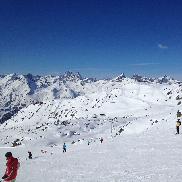
Ultra good off road tracks, very good snow conditions, just downhill from everywhere. Perfect for snow freaks!
Snow Brothers from Bulgaria writes:
Ultra good off road tracks, very good snow conditions, just downhill from everywhere. Perfect for snow freaks!


 Nearest