

Global Weekly Snow Roundup #314
Weekly Global Snow News, updated 14 May 2026: Fresh snowfall in Argentina, Australia and Lesotho signals winter’s approach, while Japan maintains the world’s deepest snowpack.

Next 3 days weather summary:A dusting of snow. Milder later with heavy rain (total 31.0mm) on Mon night. Freeze-thaw conditions (max 11°C on Mon afternoon, min 0°C on Sat morning). Wind will be generally light. | Days 4-6 weather summary:Moderate rain (total 18.0mm), heaviest on Wed morning. Very mild (max 13°C on Thu afternoon, min 3°C on Tue morning). Wind will be generally light. | |||||||||||||||||
Saturday 16 | Sunday 17 | Monday 18 | Tuesday 19 | Wednesday 20 | Thursday 21 | |||||||||||||
AM | PM | night | AM | PM | night | AM | PM | night | AM | PM | night | AM | PM | night | AM | PM | night | |
light snow | light snow | light snow | cloudy | rain shwrs | rain shwrs | clear | risk thun- der | heavy rain | light rain | cloudy | cloudy | light rain | light rain | light rain | rain shwrs | rain shwrs | rain shwrs | |
km/h | ||||||||||||||||||
Snow map |  |  |  |  |  |  | ||||||||||||
4 | — | — | — | — | — | — | — | — | — | — | — | — | — | — | — | — | — | |
— | 1 | — | — | 1 | 1 | — | 3 | 25 | 1 | — | — | 3 | 3 | 4 | 3 | 3 | 1 | |
max °C | 1 | 3 | 2 | 4 | 8 | 6 | 9 | 11 | 8 | 5 | 10 | 9 | 8 | 10 | 9 | 10 | 13 | 10 |
min °C | 0 | 2 | 0 | 1 | 6 | 2 | 5 | 10 | 2 | 3 | 8 | 6 | 6 | 8 | 7 | 8 | 12 | 8 |
-2 | 0 | 0 | 1 | 6 | 0 | 5 | 10 | 2 | 3 | 8 | 6 | 6 | 7 | 7 | 8 | 11 | 8 | |
99 | 89 | 98 | 76 | 62 | 85 | 62 | 69 | 99 | 83 | 60 | 94 | 82 | 82 | 88 | 78 | 67 | 87 | |
1550 | 1750 | 1500 | 1950 | 2300 | 1900 | 2500 | 2650 | 2000 | 2300 | 2650 | 2400 | 2550 | 2750 | 2700 | 2800 | 2950 | 3050 | |
5:30 | — | — | 5:28 | — | — | 5:28 | — | — | 5:26 | — | — | 5:24 | — | — | 5:24 | — | — | |
— | — | 8:37 | — | — | 8:38 | — | — | 8:39 | — | — | 8:42 | — | — | 8:43 | — | — | 8:44 | |
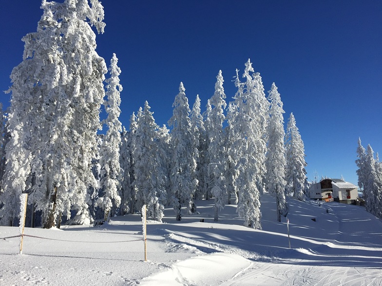
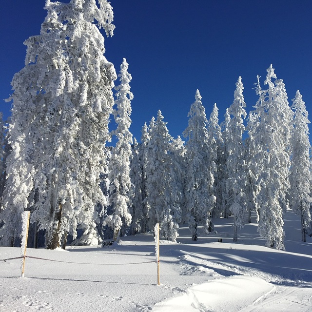
Latest snow reports near Hochkönig:
| Top snow depth: | — |
|---|---|
| Bottom snow depth: | — |
| Fresh snowfall depth: | 24 cm |
| Last snowfall: | 15 May 2026 |
| Snow Alerts | Create Alert |
0.0 | Bluebird Powder days Fresh snow, mostly sunny, light wind. |
|---|---|
0.1 | Powder days Fresh snow, limited sun, any wind. |
0.0 | Bluebird days Average snow, mostly sunny, light wind. |
The above table gives the weather forecast for Hochkönig at the specific elevation of 1400 m. Our sophisticated weather models allow us to provide snow forecasts for the top, middle and bottom ski stations of Hochkönig. To access the weather forecasts for the other elevations, use the tab navigation above the table. For a wider view of the weather, check out the Weather Map of Austria.
Click here to read further information on freezing levels and how we forecast our temperatures.
Resort name is also written as Hochkonig.
Overall 4.3 Based on 13 votes and 11 reviews
We have just returned from our second season in the Hochkonig region. We stayed in Saalfelden but skied the area most days. The lift system is brill with no queues at all. The restaurants and bars on the slopes offer traditional fare at reasonable prices. Everyone is laid back and friendly. This last week we were blessed with lots of fresh powder. An intermediate and beginners heaven. Be sure to save yourself for some apres in Maria Alm. Our favourite is the Bachwirt bar and restaurant opposite the bus station. Lots of ski shops offer good servicing and Maria Alm has its own Ski School. A ski bus service included in your lift pass links the lower lift station along the main road. Half an hour drive or bus gets you to Leogang/Saalbach and Zell am See.
Ben Frank from United Kingdom writes:
We have just returned from our second season in the Hochkonig region. We stayed in Saalfelden but skied the area most days. The lift system is brill with no queues at all. The restaurants and bars on the slopes offer traditional fare at reasonable prices. Everyone is laid back and friendly. This last week we were blessed with lots of fresh powder. An intermediate and beginners heaven. Be sure to save yourself for some apres in Maria Alm. Our favourite is the Bachwirt bar and restaurant opposite the bus station. Lots of ski shops offer good servicing and Maria Alm has its own Ski School. A ski bus service included in your lift pass links the lower lift station along the main road. Half an hour drive or bus gets you to Leogang/Saalbach and Zell am See.


 Nearest