

Global Weekly Snow Roundup #314
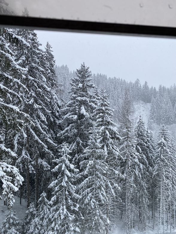
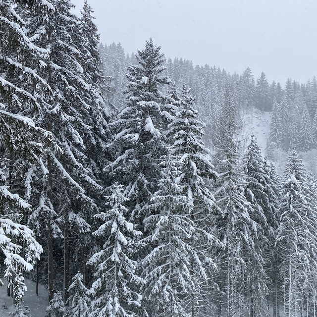
Weekly Global Snow News, updated 14 May 2026: Fresh snowfall in Argentina, Australia and Lesotho signals winter’s approach, while Japan maintains the world’s deepest snowpack.

Next 3 days weather summary:A moderate fall of snow, heaviest on Sat morning. Turning milder with moderate rain (total 10.0mm), heaviest on Mon afternoon. Freeze-thaw conditions (max 6°C on Mon afternoon, min -3°C on Sat morning). Wind will be generally light. | Days 4-6 weather summary:Moderate rain (total 12.0mm), heaviest on Wed morning. Freeze-thaw conditions (max 7°C on Thu afternoon, min 0°C on Tue morning). Wind will be generally light. | |||||||||||||||||
Saturday 16 | Sunday 17 | Monday 18 | Tuesday 19 | Wednesday 20 | Thursday 21 | |||||||||||||
AM | PM | night | AM | PM | night | AM | PM | night | AM | PM | night | AM | PM | night | AM | PM | night | |
light snow | light snow | light snow | some clouds | rain shwrs | clear | clear | light rain | light snow | light snow | cloudy | cloudy | light rain | light rain | light rain | light rain | rain shwrs | rain shwrs | |
km/h | ||||||||||||||||||
Snow map |  |  |  |  |  |  | ||||||||||||
4 | 1 | 2 | — | — | — | — | — | 3 | — | — | — | — | — | — | — | — | — | |
— | — | — | — | 1 | — | — | 4 | 5 | — | — | — | 2 | 2 | 3 | 2 | 2 | 1 | |
max °C | -3 | -2 | -2 | 0 | 2 | 2 | 4 | 6 | 4 | 1 | 5 | 5 | 2 | 5 | 4 | 5 | 7 | 6 |
min °C | -3 | -2 | -3 | -2 | 1 | 1 | 2 | 5 | 0 | 0 | 3 | 2 | 2 | 5 | 4 | 3 | 7 | 5 |
-8 | -8 | -9 | -5 | 1 | 1 | 2 | 3 | -2 | -2 | 2 | -1 | -2 | 2 | 0 | -1 | 4 | 2 | |
97 | 97 | 96 | 68 | 65 | 75 | 61 | 76 | 98 | 93 | 67 | 89 | 94 | 86 | 89 | 88 | 72 | 70 | |
1500 | 1700 | 1550 | 1950 | 2300 | 2150 | 2500 | 2650 | 2250 | 2200 | 2600 | 2350 | 2450 | 2700 | 2650 | 2700 | 2950 | 2950 | |
5:26 | — | — | 5:26 | — | — | 5:24 | — | — | 5:24 | — | — | 5:22 | — | — | 5:22 | — | — | |
— | — | 8:35 | — | — | 8:36 | — | — | 8:37 | — | — | 8:38 | — | — | 8:39 | — | — | 8:40 | |
Latest snow reports near Haus im Ennstal:
| Top snow depth: | — |
|---|---|
| Bottom snow depth: | — |
| Fresh snowfall depth: | 20 cm |
| Last snowfall: | 15 May 2026 |
| Snow Alerts | Create Alert |
0.0 | Bluebird Powder days Fresh snow, mostly sunny, light wind. |
|---|---|
0.3 | Powder days Fresh snow, limited sun, any wind. |
0.0 | Bluebird days Average snow, mostly sunny, light wind. |
The above table gives the weather forecast for Haus im Ennstal at the specific elevation of 2015 m. Our sophisticated weather models allow us to provide snow forecasts for the top, middle and bottom ski stations of Haus im Ennstal. To access the weather forecasts for the other elevations, use the tab navigation above the table. For a wider view of the weather, check out the Weather Map of Austria.
Click here to read further information on freezing levels and how we forecast our temperatures.
Overall 3.7 Based on 4 votes and 3 reviews
We stayed at Haus for Christmas 2007. The snow was in perfect condition and the weather was excellent too. The lift system is first class for the whole area i.e.all four mountains. You would have to ski very fast to get from Haus to Reiteralm and back in one day. Some steep red and black runs are testing over in Schladming whilst the skiing at Haus is more gentle for less able skiers. Loads of mountain huts and restaurants to choose from at lunchtime. We stayed a 5 min walk away from the main lift at the Krug hotel. They do a full package which includes lift pass and free drinks. We are returning this year.
Rene from United Kingdom writes:
We stayed at Haus for Christmas 2007. The snow was in perfect condition and the weather was excellent too. The lift system is first class for the whole area i.e.all four mountains. You would have to ski very fast to get from Haus to Reiteralm and back in one day. Some steep red and black runs are testing over in Schladming whilst the skiing at Haus is more gentle for less able skiers. Loads of mountain huts and restaurants to choose from at lunchtime. We stayed a 5 min walk away from the main lift at the Krug hotel. They do a full package which includes lift pass and free drinks. We are returning this year.


 Nearest