The snow forecast for Gstaad - Schönried - Saanenmöser is: Mostly dry. Freeze-thaw conditions (max 3°C on Fri afternoon, min -3°C on Sun night). Wind will be generally light.
Gstaad - Schönried - Saanenmöser Weather (Next 3 days): The snow forecast for Gstaad - Schönried - Saanenmöser is: Mostly dry. Freeze-thaw conditions (max 3°C on Fri afternoon, min -3°C on Sun night). Wind will be generally light.
Gstaad - Schönried - Saanenmöser Weather (Days 4-6): A dusting of new snow. Freeze-thaw conditions (max 1°C on Wed afternoon, min -2°C on Mon night). Wind will be generally light.
Gstaad - Schönried - Saanenmöserat 2328 m altitude
Issued by Snow-Forecast.com at:6 pm (local time) / 06 Mar 2026
Gstaad - Schönried - Saanenmöser Weather
(Next 3 days):
The snow forecast for Gstaad - Schönried - Saanenmöser is: Mostly dry. Freeze-thaw conditions (max 3°C on Fri afternoon, min -3°C on Sun night). Wind will be generally light.
The above table gives the weather forecast for Gstaad - Schönried - Saanenmöser at the specific elevation of 2328 m. Our sophisticated weather models allow us to provide snow forecasts for the top, middle and bottom ski stations of Gstaad - Schönried - Saanenmöser. To access the weather forecasts for the other elevations, use the tab navigation above the table. For a wider view of the weather, check out the Weather Map of Switzerland.
Click here to read further information on freezing levels and how we forecast our temperatures.
Resort name is also written as Gstaad - Schonried - Saanenmoser.
Visitor Reviews of Gstaad - Schönried - Saanenmöser
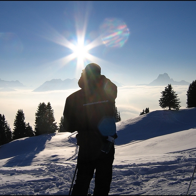
Gstaad - Schönried - Saanenmöser is a gem of a resort, not so much for the pricey Gstaad end but for the pretty, varied and 'authentic' Saanenmoser end. On-slope refreshments are found in small, cosy and friendly cabins, some with spectacular views. There are also great vistas from interesting and sometimes challenging runs over several peaks accessed by fast and reliable chairs, gondolas and a few drags. Saanenmoser has great late season snow too - having been in March/April for each of the last 7 years, I've never found a problem, even if some of the warmer slopes have become less attractive. With a direct rail link to Montreux and thereon to Geneva, Gstaad - Schönried - Saanenmöser is a great alternative to some of the better known resorts. And for variety, Glacier 3000 - Les Diablerets - is a short drive away.
Visitor Reviews of Gstaad - Schönried - Saanenmöser
Overall: 4.6 Based on 4 votes and 1 review
Snowsure 4.0
Variety of pistes 4.8
Off-piste 4.3
Scenery 5.0
Apres-Ski 3.8
Keith B from United Kingdom writes:
Gstaad - Schönried - Saanenmöser is a gem of a resort, not so much for the pricey Gstaad end but for the pretty, varied and 'authentic' Saanenmoser end. On-slope refreshments are found in small, cosy and friendly cabins, some with spectacular views. There are also great vistas from interesting and sometimes challenging runs over several peaks accessed by fast and reliable chairs, gondolas and a few drags. Saanenmoser has great late season snow too - having been in March/April for each of the last 7 years, I've never found a problem, even if some of the warmer slopes have become less attractive. With a direct rail link to Montreux and thereon to Geneva, Gstaad - Schönried - Saanenmöser is a great alternative to some of the better known resorts. And for variety, Glacier 3000 - Les Diablerets - is a short drive away.
Free Snow-Forecast.com weather widget for your website
Embed the Gstaad - Schönried - Saanenmöser weather widget on your site for free. It provides a weekly snapshot of snow and rain conditions across all elevations. Follow the two quick steps to grab your custom code and paste it into your site. Choose between metric or imperial units. Click here to get the code.


 Nearest