


View forecast
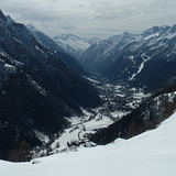
Gressoney-Saint-Jean at 2022 m altitude
Issued by Snow-Forecast.com at: 1 pm (local time) / 26 Apr 2024
Now
Fri 26 | Saturday 27 | Sunday 28 | Monday 29 | Tuesday 30 | Wednesday 1 | Thursday 2 | ||||||||||||||
PM | night | AM | PM | night | AM | PM | night | AM | PM | night | AM | PM | night | AM | PM | night | AM | PM | night | |
light snow | light snow | light snow | light snow | mod. snow | light snow | light snow | some clouds | some clouds | light rain | light rain | light rain | light rain | light snow | mod. rain | light rain | light rain | light rain | light rain | mod. rain | |
km/h | ||||||||||||||||||||
Snow map |  |  |  |  |  |  |  | |||||||||||||
1.0 | 3 | 1.0 | 1.0 | 5 | 5 | 2.0 | — | — | — | — | — | — | — | — | — | — | — | — | — | |
— | — | — | — | — | — | — | — | — | 2.0 | 3 | 3 | 4 | 9 | 6 | 2.0 | 1.0 | 2.0 | 4 | 6 | |
max°C | -2 | -2 | -2 | 0 | 0 | 0 | 2 | 1 | 4 | 4 | 3 | 4 | 5 | 4 | 4 | 6 | 4 | 3 | 3 | 3 |
min°C | -3 | -2 | -2 | -1 | -1 | 0 | 1 | 0 | 2 | 4 | 3 | 3 | 5 | 2 | 2 | 6 | 3 | 3 | 3 | 2 |
-6 | -4 | -5 | -4 | -4 | -2 | -2 | 0 | 2 | 2 | 2 | 1 | 3 | -1 | 0 | 5 | 3 | 3 | 2 | 2 | |
94 | 98 | 98 | 98 | 98 | 98 | 97 | 78 | 88 | 91 | 87 | 95 | 91 | 94 | 91 | 70 | 90 | 98 | 97 | 97 | |
1750 | 1650 | 1750 | 1950 | 2000 | 2100 | 2300 | 2000 | 2550 | 2650 | 2500 | 2600 | 2700 | 2500 | 2600 | 2800 | 2600 | 2550 | 2500 | 2450 | |
— | — | 6:20 | — | — | 6:20 | — | — | 6:18 | — | — | 6:16 | — | — | 6:15 | — | — | 6:13 | — | — | |
— | 8:30 | — | — | 8:30 | — | — | 8:31 | — | — | 8:34 | — | — | 8:35 | — | — | 8:36 | — | — | 8:37 | |
Next 0-3 days weather summary:
A moderate fall of snow, heaviest on Sun morning. Freeze-thaw conditions (max 4°C on Mon morning, min -3°C on Fri afternoon). Wind will be generally light.
Next 4-6 days weather summary:
Heavy rain (total 32.0mm), heaviest during Tue night. Mild temperatures (max 6°C on Wed afternoon, min 2°C on Tue night). Wind will be generally light.
Popular Gressoney-Saint-Jean Pages
Snow Radar
Submit a reportLatest snow reports near Gressoney-Saint-Jean:
40 km away from Gressoney-Saint-Jean
7 hours ago
Light rain reported from Aosta Airport at 546 metres elevation 5 kms NE of Pila but it is forecast cold enough for snow at the ski area from Pila
Gressoney-Saint-Jean Snow Conditions
| Top snow depth: | 0 cm |
|---|---|
| Bottom snow depth: | 0 cm |
| Fresh snowfall depth: | 4 cm |
| Last snowfall: | 25 Apr 2024 |
| Snow Alerts | Create Alert |
Other resorts in Italy are reporting: powder (0) / good piste (0)
Snow-Forecast Partner Offers
Show your business here
Snow History
Week 4 of April has on average:
0.0 | Bluebird Powder days Fresh snow, mostly sunny, light wind. |
|---|---|
0.6 | Powder days Fresh snow, limited sun, any wind. |
0.0 | Bluebird days Average snow, mostly sunny, light wind. |


Gressoney-Saint-Jean Forecast Snowfall


Gressoney-Saint-Jean Resort Webcam
- today

- 2pm yesterday

- 2 days ago

- 3 days ago

- 4 days ago

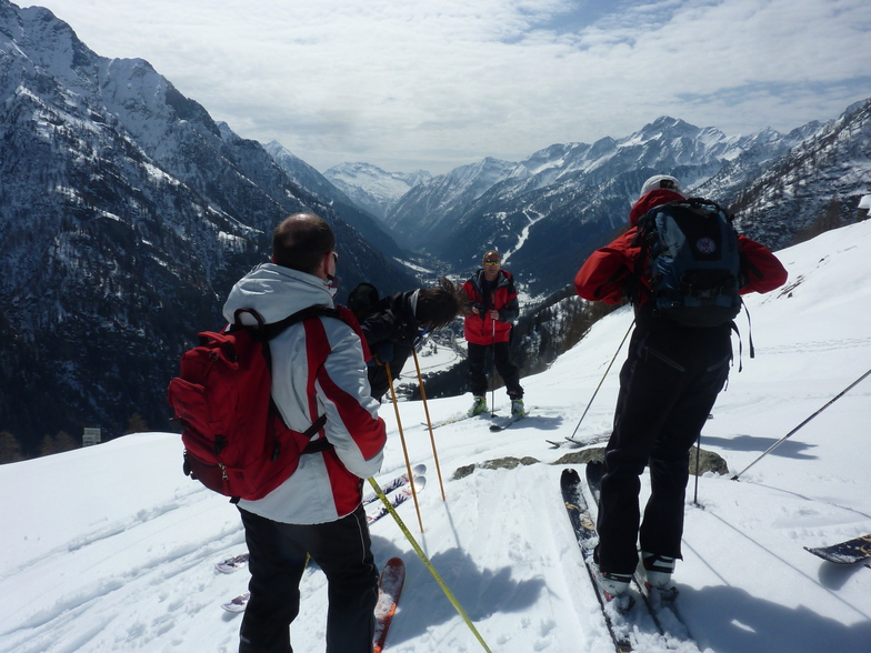
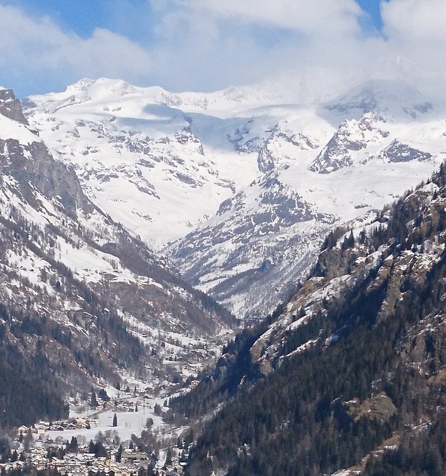
Photos of Gressoney-Saint-Jean


Other resorts in Italy are reporting: powder (0) / good piste (0)
The above table gives the weather forecast for Gressoney-Saint-Jean at the specific elevation of 2022 m. Our sophisticated weather models allow us to provide snow forecasts for the top, middle and bottom ski stations of Gressoney-Saint-Jean. To access the weather forecasts for the other elevations, use the tab navigation above the table. For a wider view of the weather, check out the Weather Map of Italy.
Click here to read further information on freezing levels and how we forecast our temperatures.
Visitor Reviews of Gressoney-Saint-Jean
Free Snow-Forecast.com weather widget for your website
The Gressoney-Saint-Jean skiing weather widget is available to embed on external websites free of charge. It provides a daily summary of our Gressoney-Saint-Jean snow forecast and current weather conditions. Simply go to the feed configuration page and follow the 3 simple steps to grab the custom html code snippet and paste it into your own site. You can choose the snow forecast elevation (summit, mid-mountain or bottom lift) and metric/imperial units for the snow forecast feed to suit your own website…. Click here to get the code.
View detailed snow forecast for Gressoney-Saint-Jean at:
snow-forecast.com

 Nearest