

Global Weekly Snow Roundup #314
Weekly Global Snow News, updated 14 May 2026: Fresh snowfall in Argentina, Australia and Lesotho signals winter’s approach, while Japan maintains the world’s deepest snowpack.

Next 3 days weather summary:A dusting of snow giving way to moderate rain (total 17.0mm) heaviest on Mon afternoon. Freeze-thaw conditions (max 8°C on Mon afternoon, min -4°C on Sat night). Wind will be generally light. | Days 4-6 weather summary:Moderate rain (total 16.0mm), heaviest on Wed afternoon. Very mild (max 13°C on Thu afternoon, min 3°C on Tue morning). Wind will be generally light. | |||||||||||||||||
Saturday 16 | Sunday 17 | Monday 18 | Tuesday 19 | Wednesday 20 | Thursday 21 | |||||||||||||
AM | PM | night | AM | PM | night | AM | PM | night | AM | PM | night | AM | PM | night | AM | PM | night | |
light snow | light snow | snow shwrs | clear | rain shwrs | rain shwrs | rain shwrs | light rain | mod. rain | cloudy | light rain | light rain | rain shwrs | light rain | light rain | some clouds | light rain | rain shwrs | |
km/h | ||||||||||||||||||
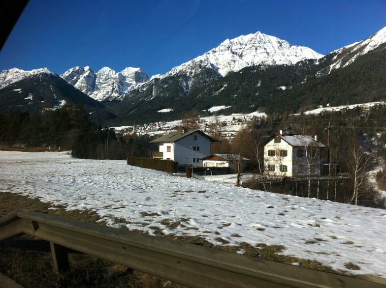
Snow map |  |  |  |  |  |  | ||||||||||||
2 | 1 | — | — | — | — | — | — | — | — | — | — | — | — | — | — | — | — | |
— | — | — | — | 1 | 1 | 1 | 5 | 9 | — | 2 | 4 | 2 | 3 | 3 | — | 1 | 1 | |
max °C | 0 | 2 | 1 | 3 | 6 | 4 | 7 | 8 | 6 | 6 | 8 | 6 | 8 | 8 | 8 | 10 | 13 | 11 |
min °C | -1 | 1 | -4 | 0 | 6 | 1 | 4 | 8 | 3 | 3 | 8 | 5 | 5 | 7 | 6 | 6 | 12 | 7 |
-4 | -2 | -4 | 0 | 6 | 0 | 4 | 8 | 3 | 3 | 8 | 5 | 5 | 6 | 5 | 5 | 12 | 7 | |
89 | 83 | 91 | 70 | 73 | 84 | 69 | 70 | 99 | 77 | 81 | 97 | 76 | 78 | 88 | 67 | 53 | 85 | |
1550 | 1800 | 1150 | 2050 | 2350 | 1950 | 2450 | 2600 | 2150 | 2450 | 2700 | 2550 | 2650 | 2750 | 2600 | 2800 | 3000 | 3200 | |
5:37 | — | — | 5:37 | — | — | 5:35 | — | — | 5:33 | — | — | 5:33 | — | — | 5:31 | — | — | |
— | — | 8:44 | — | — | 8:45 | — | — | 8:45 | — | — | 8:47 | — | — | 8:49 | — | — | 8:50 | |
Latest snow reports near Fulpmes:
| Top snow depth: | — |
|---|---|
| Bottom snow depth: | — |
| Fresh snowfall depth: | 26 cm |
| Last snowfall: | 15 May 2026 |
| Snow Alerts | Create Alert |
0.0 | Bluebird Powder days Fresh snow, mostly sunny, light wind. |
|---|---|
0.1 | Powder days Fresh snow, limited sun, any wind. |
0.0 | Bluebird days Average snow, mostly sunny, light wind. |
The above table gives the weather forecast for Fulpmes at the specific elevation of 1610 m. Our sophisticated weather models allow us to provide snow forecasts for the top, middle and bottom ski stations of Fulpmes. To access the weather forecasts for the other elevations, use the tab navigation above the table. For a wider view of the weather, check out the Weather Map of Austria.
Click here to read further information on freezing levels and how we forecast our temperatures.
Overall 4.6 Based on 13 votes and 4 reviews
Skied this area for the odd day a number of times over the past 4 years. In short, another classic medium size ski resort that the Austrians do so well, with a good variety of reds and blues and the odd black on generally very quiet pistes in the mid week and relatively quite also at weekends. The town itself is about 1.2km from the base station but has a regular ski bus service up so the inconvenience really is not an issue. It's also a busy working town doubling up as a farming community, tourist resort and commuter town to nearby Innsbruck to which there is a direct tram link, so it has a different feel to your average, hard core ski resort. Best to buy a valley pass if you're a serious skier as there is probably not enough to keep you happy all week, and this gives you access to Nuestift and more importantly the Stubai Glacier which has a huge variety of challenges both on and off piste and both on and off the glacier to keep the diehards happy. Overall, highly recommended, especially if you have a mixed group ability and for access to the cultural sites and shopping in nearby Innsbruck for non skiers.
Tirolerhund from United Kingdom writes:
Skied this area for the odd day a number of times over the past 4 years.
In short, another classic medium size ski resort that the Austrians do so well, with a good variety of reds and blues and the odd black on generally very quiet pistes in the mid week and relatively quite also at weekends.
The town itself is about 1.2km from the base station but has a regular ski bus service up so the inconvenience really is not an issue. It's also a busy working town doubling up as a farming community, tourist resort and commuter town to nearby Innsbruck to which there is a direct tram link, so it has a different feel to your average, hard core ski resort.
Best to buy a valley pass if you're a serious skier as there is probably not enough to keep you happy all week, and this gives you access to Nuestift and more importantly the Stubai Glacier which has a huge variety of challenges both on and off piste and both on and off the glacier to keep the diehards happy.
Overall, highly recommended, especially if you have a mixed group ability and for access to the cultural sites and shopping in nearby Innsbruck for non skiers.


 Nearest