

Global Weekly Snow Roundup #314
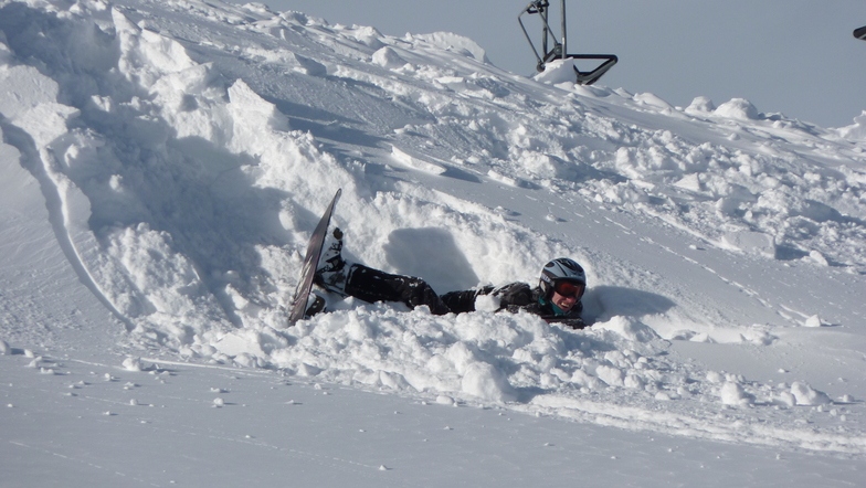
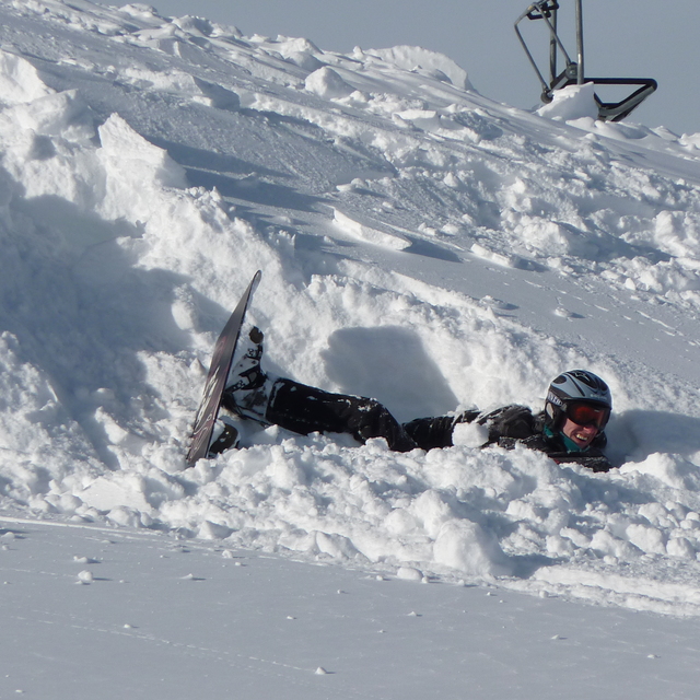
Weekly Global Snow News, updated 14 May 2026: Fresh snowfall in Argentina, Australia and Lesotho signals winter’s approach, while Japan maintains the world’s deepest snowpack.

Next 3 days weather summary:A dusting of snow. Milder later with heavy rain (total 20.0mm) on Mon night. Freeze-thaw conditions (max 10°C on Mon afternoon, min -1°C on Sat night). Wind will be generally light. | Days 4-6 weather summary:Heavy rain (total 21.0mm), heaviest during Tue night. Very mild (max 14°C on Thu afternoon, min 5°C on Tue morning). Wind will be generally light. | |||||||||||||||||
Saturday 16 | Sunday 17 | Monday 18 | Tuesday 19 | Wednesday 20 | Thursday 21 | |||||||||||||
AM | PM | night | AM | PM | night | AM | PM | night | AM | PM | night | AM | PM | night | AM | PM | night | |
light snow | light snow | snow shwrs | clear | rain shwrs | rain shwrs | rain shwrs | risk thun- der | heavy rain | light rain | light rain | mod. rain | light rain | rain shwrs | light rain | rain shwrs | rain shwrs | rain shwrs | |
km/h | ||||||||||||||||||
Snow map |  |  |  |  |  |  | ||||||||||||
2 | — | — | — | — | — | — | — | — | — | — | — | — | — | — | — | — | — | |
— | 1 | — | — | 1 | 1 | 1 | 4 | 12 | 1 | 2 | 6 | 2 | 3 | 3 | 1 | 2 | 1 | |
max °C | 1 | 2 | 2 | 4 | 7 | 6 | 9 | 10 | 7 | 8 | 10 | 7 | 9 | 9 | 9 | 10 | 14 | 12 |
min °C | 0 | 2 | -1 | 2 | 7 | 3 | 6 | 10 | 4 | 5 | 10 | 7 | 7 | 8 | 7 | 8 | 13 | 8 |
-2 | 2 | -1 | 2 | 7 | 1 | 6 | 10 | 4 | 5 | 10 | 7 | 7 | 7 | 7 | 8 | 12 | 8 | |
99 | 93 | 87 | 80 | 74 | 82 | 70 | 75 | 96 | 76 | 80 | 97 | 81 | 82 | 90 | 78 | 56 | 87 | |
1500 | 1700 | 1300 | 2000 | 2300 | 2000 | 2400 | 2550 | 2050 | 2450 | 2650 | 2500 | 2600 | 2700 | 2550 | 2700 | 2950 | 3000 | |
5:35 | — | — | 5:33 | — | — | 5:33 | — | — | 5:31 | — | — | 5:31 | — | — | 5:30 | — | — | |
— | — | 8:43 | — | — | 8:44 | — | — | 8:45 | — | — | 8:45 | — | — | 8:46 | — | — | 8:49 | |
Latest snow reports near Fügen/Spieljoch:
| Top snow depth: | 0 cm |
|---|---|
| Bottom snow depth: | 0 cm |
| Fresh snowfall depth: | 18 cm |
| Last snowfall: | 15 May 2026 |
| Snow Alerts | Create Alert |
0.0 | Bluebird Powder days Fresh snow, mostly sunny, light wind. |
|---|---|
0.0 | Powder days Fresh snow, limited sun, any wind. |
0.0 | Bluebird days Average snow, mostly sunny, light wind. |
The above table gives the weather forecast for Fügen/Spieljoch at the specific elevation of 1325 m. Our sophisticated weather models allow us to provide snow forecasts for the top, middle and bottom ski stations of Fügen/Spieljoch. To access the weather forecasts for the other elevations, use the tab navigation above the table. For a wider view of the weather, check out the Weather Map of Austria.
Click here to read further information on freezing levels and how we forecast our temperatures.
Resort name is also written as Fugen/Spieljoch.
Overall 4.0 Based on 10 votes and 4 reviews
Our first pre-xmas ski trip made with trepidation but... We could not have picked a better resort. Wonderful conditions at Fügen/Spieljoch, superb hospitality with a personal touch not available from the bigger ski companies. Fugen as a location is central for good local runs at Speilloch, Swiss type clock work transfers to the linked area at Hochfugen, and if you have the time the rest of the Ziller valley. Please don't go as we wish this to be a well kept secret :) Ian and Dawn Dell...Dec 15 2008
Ian Dell from United Kingdom writes:
Our first pre-xmas ski trip made with trepidation but...
We could not have picked a better resort.
Wonderful conditions at Fügen/Spieljoch, superb hospitality with a personal touch not available from the bigger ski companies.
Fugen as a location is central for good local runs at Speilloch, Swiss type clock work transfers to the linked area at Hochfugen, and if you have the time the rest of the Ziller valley.
Please don't go as we wish this to be a well kept secret :)
Ian and Dawn Dell...Dec 15 2008


 Nearest