

Global Weekly Snow Roundup #314
Weekly Global Snow News, updated 14 May 2026: Fresh snowfall in Argentina, Australia and Lesotho signals winter’s approach, while Japan maintains the world’s deepest snowpack.

Next 3 days weather summary:A light covering of new snow, mostly falling on Sat morning. Becoming milder with light rain (total 8.0mm) on Mon afternoon. Freeze-thaw conditions (max 4°C on Sun afternoon, min -1°C on Sat morning). Wind will be generally light. | Days 4-6 weather summary:Light rain (total 7.0mm), mostly falling on Tue afternoon. Mild temperatures (max 9°C on Thu afternoon, min 3°C on Tue morning). Wind will be generally light. | |||||||||||||||||
Saturday 16 | Sunday 17 | Monday 18 | Tuesday 19 | Wednesday 20 | Thursday 21 | |||||||||||||
AM | PM | night | AM | PM | night | AM | PM | night | AM | PM | night | AM | PM | night | AM | PM | night | |
snow shwrs | light snow | snow shwrs | clear | rain shwrs | rain shwrs | rain shwrs | light rain | rain shwrs | rain shwrs | rain shwrs | light rain | clear | some clouds | clear | some clouds | risk thun- der | rain shwrs | |
km/h | ||||||||||||||||||
Snow map |  |  |  | 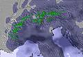 | 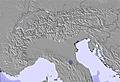 | 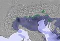 | ||||||||||||
4 | 2 | 1 | — | — | — | — | — | — | — | — | — | — | — | — | — | — | — | |
— | — | — | — | 1 | 1 | 1 | 3 | 2 | 1 | 3 | 1 | — | — | — | — | 1 | 1 | |
max °C | -1 | 0 | 2 | 3 | 4 | 4 | 4 | 4 | 4 | 3 | 5 | 5 | 6 | 7 | 8 | 8 | 9 | 9 |
min °C | -1 | 0 | 0 | 2 | 4 | 4 | 4 | 4 | 3 | 3 | 5 | 5 | 5 | 7 | 7 | 8 | 9 | 9 |
-7 | -6 | -5 | -2 | 3 | 4 | 4 | 3 | 0 | 0 | 2 | 2 | 2 | 6 | 6 | 6 | 9 | 8 | |
73 | 91 | 63 | 53 | 81 | 71 | 72 | 82 | 68 | 83 | 84 | 64 | 64 | 72 | 47 | 64 | 73 | 46 | |
1900 | 2000 | 2200 | 2400 | 2550 | 2450 | 2500 | 2600 | 2500 | 2450 | 2700 | 2950 | 3050 | 3100 | 3150 | 3250 | 3300 | 3300 | |
5:43 | — | — | 5:43 | — | — | 5:41 | — | — | 5:41 | — | — | 5:39 | — | — | 5:39 | — | — | |
— | — | 8:23 | — | — | 8:24 | — | — | 8:25 | — | — | 8:27 | — | — | 8:28 | — | — | 8:29 | |
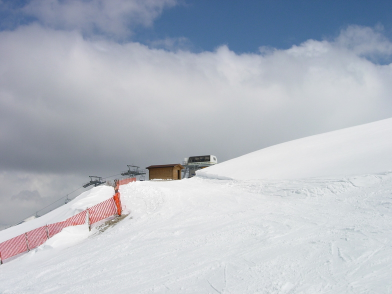
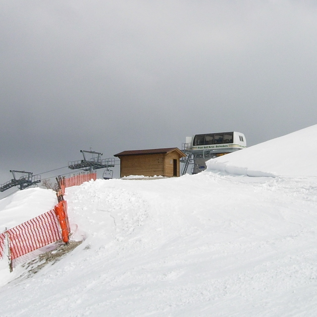
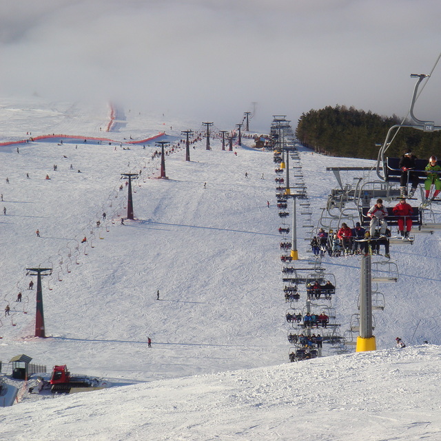
Latest snow reports near Ussita Frontignano:
| Top snow depth: | — |
|---|---|
| Bottom snow depth: | — |
| Fresh snowfall depth: | — |
| Last snowfall: | 22 Apr 2026 |
| Snow Alerts | Create Alert |
0.0 | Bluebird Powder days Fresh snow, mostly sunny, light wind. |
|---|---|
0.1 | Powder days Fresh snow, limited sun, any wind. |
0.1 | Bluebird days Average snow, mostly sunny, light wind. |
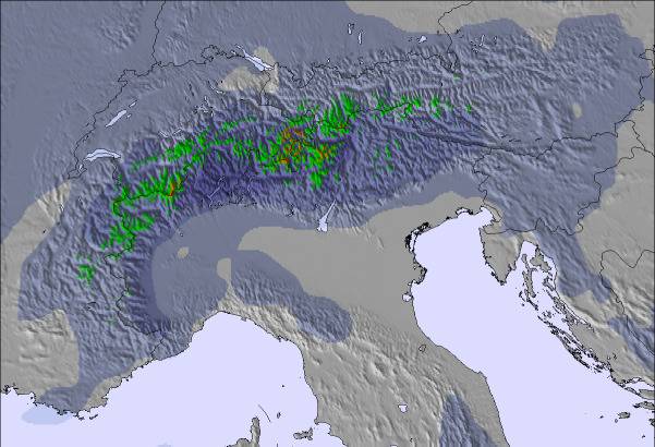
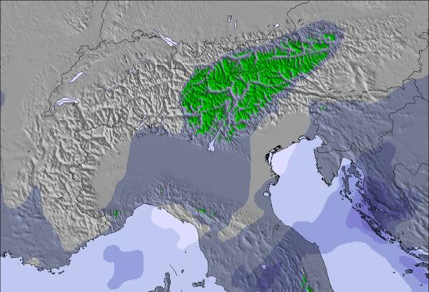
The above table gives the weather forecast for Ussita Frontignano at the specific elevation of 1974 m. Our sophisticated weather models allow us to provide snow forecasts for the top, middle and bottom ski stations of Ussita Frontignano. To access the weather forecasts for the other elevations, use the tab navigation above the table. For a wider view of the weather, check out the Weather Map of Italy.
Click here to read further information on freezing levels and how we forecast our temperatures.
Overall 3.0 Based on 4 votes and 1 review
Frontignano è una delle principali località sciistiche marchigiane dei Monti Sibillini che dista dal comune di Ussita solamente 9 chilometri e si allarga fino alle falde del Monte Bove sul quale si trovano le piste.La facilità con cui si raggiunge questa meta e la presenza di piste ben organizzate e curate permettono di trascorrere una splendida vacanza sugli sci Per ulteriori approfondimenti su Frontignao di Ussita visita il forum di Scimarche.it: http://www.scimarche.it/component/option,com_joomlaboard/Itemid,56/
Scimarche.it from Italy writes:
Frontignano è una delle principali località sciistiche marchigiane dei Monti Sibillini che dista dal comune di Ussita solamente 9 chilometri e si allarga fino alle falde del Monte Bove sul quale si trovano le piste.La facilità con cui si raggiunge questa meta e la presenza di piste ben organizzate e curate permettono di trascorrere una splendida vacanza sugli sci
Per ulteriori approfondimenti su Frontignao di Ussita visita il forum di Scimarche.it: http://www.scimarche.it/component/option,com_joomlaboard/Itemid,56/

 Nearest