Next snow in Falls Creek: 1.6cm on Mon 1st (after 4 PM)
View forecast
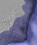
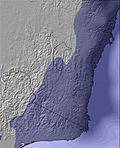
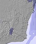
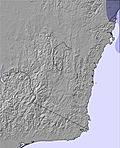
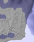
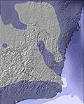
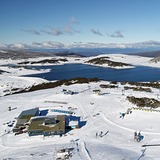
Falls Creekat 1600 m altitude
Issued by Snow-Forecast.com at:9 am (local time) / 22 May 2026
Last 6 daysScroll left for last 6 daysNow
Next 3 days weather summary:
Light rain (total 5.0mm), mostly falling on Sun morning. Mild temperatures (max 9°C on Fri morning, min 4°C on Fri afternoon). Wind will be generally light.
Days 4-6 weather summary:
Moderate rain (total 14.0mm), heaviest on Mon afternoon. Very mild (max 10°C on Tue morning, min 4°C on Mon afternoon). Wind will be generally light.
The above table gives the weather forecast for Falls Creek at the specific elevation of 1600 m. Our sophisticated weather models allow us to provide snow forecasts for the top, middle and bottom ski stations of Falls Creek. To access the weather forecasts for the other elevations, use the tab navigation above the table. For a wider view of the weather, check out the Weather Map of Australia.
Click here to read further information on freezing levels and how we forecast our temperatures.
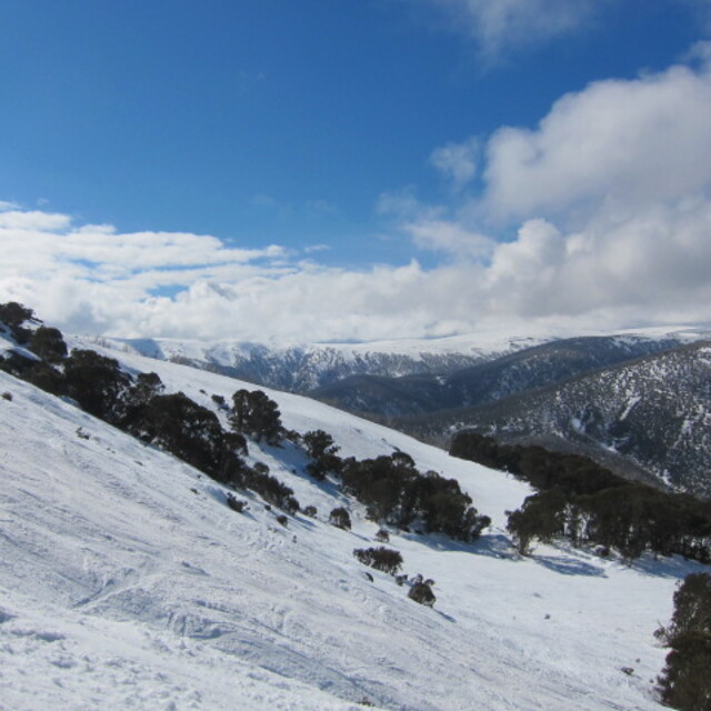
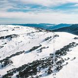
Falls Creek is beautiful and for a cross-country skier like myself there are miles and miles to explore. You can ski right out to some of those old cattlemans huts like from the Man from Snowy River which is cool.
I found it a little difficult to get to Falls Creek, but ended up travelling with a group called Mountainhound -mountainhound.com.au who run all inclusive packages to Falls Creek. This included transport from the Melbourne CBD in a van rather than a bus. I found booking very easy, all through one website, rather than having to search around and find accommodation, transport etc for myself.
I am a cross country skier so I booked a ski package excluding lift tickets which still included off-the-snow accommodation and everything else - 2 nights accommodation, transport, 3 dinners, resort entry and a backpack (which is actually decent, still using it!) with gourmet snacks and special deals on gear and food inside.
Free Snow-Forecast.com weather widget for your website
Embed the Falls Creek weather widget on your site for free. It provides a weekly snapshot of snow and rain conditions across all elevations. Follow the two quick steps to grab your custom code and paste it into your site. Choose between metric or imperial units. Click here to get the code.


 Nearest