

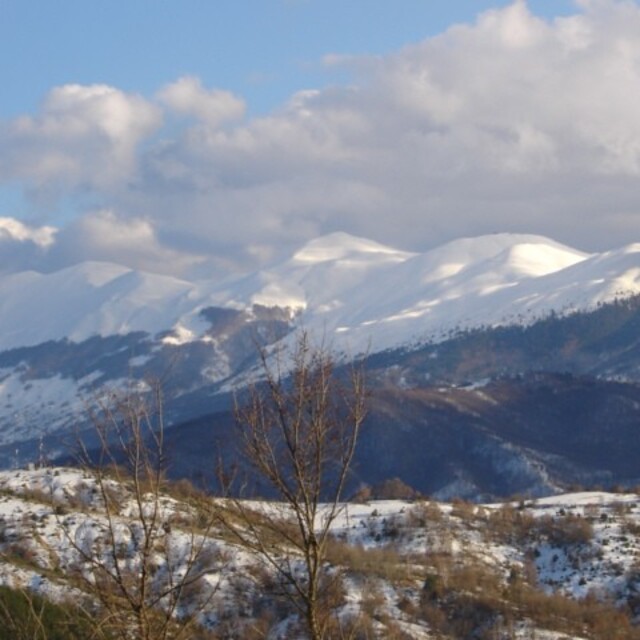
Global Weekly Snow Roundup #314
Weekly Global Snow News, updated 14 May 2026: Fresh snowfall in Argentina, Australia and Lesotho signals winter’s approach, while Japan maintains the world’s deepest snowpack.

Next 3 days weather summary:Heavy rain (total 24.0mm), heaviest during Sat night. Mild temperatures (max 6°C on Sat afternoon, min 3°C on Sat night). Winds decreasing (fresh winds from the S on Sat afternoon, calm by Mon night). | Days 4-6 weather summary:Heavy rain (total 35.0mm), heaviest during Thu afternoon. Mild temperatures (max 8°C on Wed afternoon, min 5°C on Tue morning). Wind will be generally light. | |||||||||||||||||
Saturday 16 | Sunday 17 | Monday 18 | Tuesday 19 | Wednesday 20 | Thursday 21 | |||||||||||||
AM | PM | night | AM | PM | night | AM | PM | night | AM | PM | night | AM | PM | night | AM | PM | night | |
rain shwrs | risk thun- der | rain shwrs | rain shwrs | rain shwrs | some clouds | cloudy | rain shwrs | rain shwrs | rain shwrs | light rain | light rain | light rain | risk thun- der | rain shwrs | rain shwrs | risk thun- der | rain shwrs | |
km/h | ||||||||||||||||||
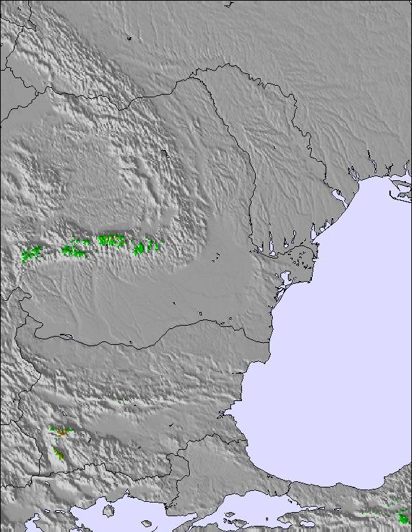
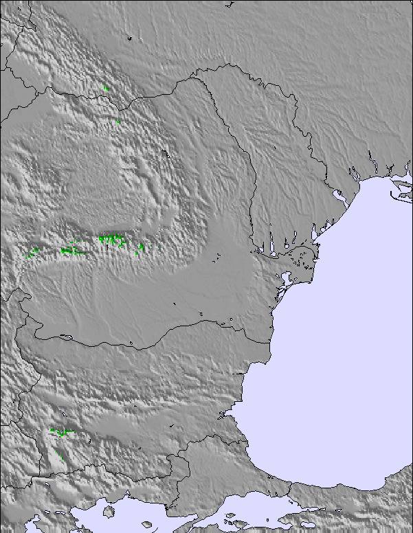
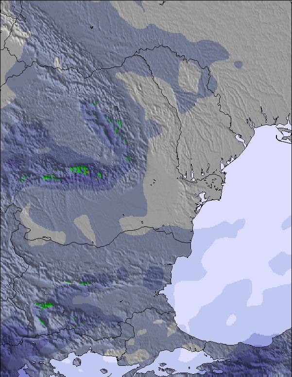
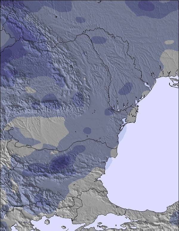
Snow map | 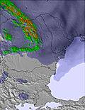 | 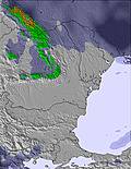 | 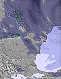 | 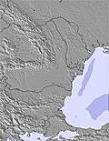 | 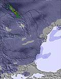 | 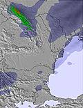 | ||||||||||||
— | — | — | — | — | — | — | — | — | — | — | — | — | — | — | — | — | — | |
1 | 4 | 13 | 1 | 2 | — | — | 2 | 1 | 2 | 4 | 4 | 2 | 5 | 2 | 1 | 11 | 4 | |
max °C | 5 | 6 | 5 | 3 | 5 | 5 | 4 | 5 | 5 | 6 | 6 | 6 | 6 | 8 | 8 | 7 | 7 | 7 |
min °C | 5 | 5 | 3 | 3 | 4 | 4 | 4 | 5 | 5 | 5 | 6 | 5 | 6 | 7 | 6 | 6 | 6 | 6 |
2 | 0 | -1 | -1 | 1 | 2 | 2 | 3 | 5 | 5 | 6 | 2 | 3 | 6 | 3 | 4 | 4 | 3 | |
83 | 87 | 49 | 57 | 69 | 77 | 76 | 89 | 80 | 67 | 83 | 83 | 74 | 82 | 71 | 72 | 85 | 77 | |
2800 | 3000 | 2850 | 2400 | 2500 | 2800 | 2950 | 2750 | 2850 | 2850 | 2900 | 2800 | 2750 | 2900 | 3000 | 2900 | 2950 | 2900 | |
6:03 | — | — | 6:03 | — | — | 6:01 | — | — | 6:01 | — | — | 6:01 | — | — | 6:00 | — | — | |
— | 8:35 | — | — | 8:36 | — | — | 8:37 | — | — | 8:37 | — | — | 8:38 | — | — | 8:39 | — | |
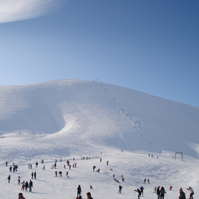
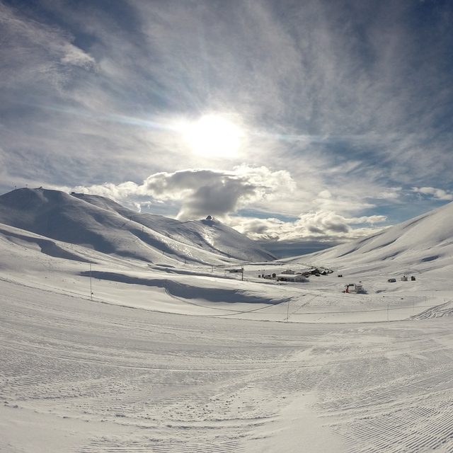
Latest snow reports near Falakro Ski Resort:
| Top snow depth: | — |
|---|---|
| Bottom snow depth: | — |
| Fresh snowfall depth: | — |
| Last snowfall: | 2 May 2026 |
| Snow Alerts | Create Alert |
0.0 | Bluebird Powder days Fresh snow, mostly sunny, light wind. |
|---|---|
0.0 | Powder days Fresh snow, limited sun, any wind. |
0.0 | Bluebird days Average snow, mostly sunny, light wind. |
The above table gives the weather forecast for Falakro Ski Resort at the specific elevation of 1981 m. Our sophisticated weather models allow us to provide snow forecasts for the top, middle and bottom ski stations of Falakro Ski Resort. To access the weather forecasts for the other elevations, use the tab navigation above the table. For a wider view of the weather, check out the Weather Map of Greece.
Click here to read further information on freezing levels and how we forecast our temperatures.
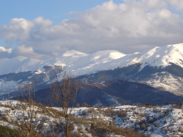
Resort name is also written as Falakro Oros.
Overall 3.4 Based on 23 votes and 10 reviews
Εξαιρετική δουλειά από το προσωπικό, που είναι δίπλα σε κάθε χιονοδρόμο! Υπέροχες συνθήκες. Πολύ καλή η κατάσταση του οδοστρώματος προς το ΧΝ Εύχομαι πολλά χιόνια! 19/1/2015
ΣΤΑΘΗΣ ΜΠΟΥΡΑΝΤΑΣ from Greece writes:
Εξαιρετική δουλειά από το προσωπικό, που είναι δίπλα σε κάθε χιονοδρόμο!
Υπέροχες συνθήκες.
Πολύ καλή η κατάσταση του οδοστρώματος προς το ΧΝ
Εύχομαι πολλά χιόνια!
19/1/2015
Read 9 more reviews of Falakro Ski Resort or submit your own

 Nearest