


View forecast
Ebensee am Traunsee at 460 m altitude
Issued by Snow-Forecast.com at: 1 pm (local time) / 19 Apr 2024
Now
Fri 19 | Saturday 20 | Sunday 21 | Monday 22 | Tuesday 23 | Wednesday 24 | Thursday 25 | ||||||||||||||
PM | night | AM | PM | night | AM | PM | night | AM | PM | night | AM | PM | night | AM | PM | night | AM | PM | night | |
light rain | heavy rain | light rain | mod. rain | light snow | light snow | light rain | light snow | cloudy | light rain | cloudy | light rain | light rain | light snow | cloudy | light rain | light snow | light rain | light rain | light rain | |
km/h | ||||||||||||||||||||
Snow map |  |  |  |  |  |  |  | |||||||||||||
— | — | — | — | 1.0 | 1.0 | — | — | — | — | — | — | — | — | — | — | 1.0 | — | — | — | |
2.0 | 16 | 5 | 6 | 4 | 2.0 | 3 | — | — | 1.0 | — | 1.0 | 2.0 | 2.0 | — | 4 | 3 | 3 | 2.0 | 1.0 | |
max°C | 7 | 4 | 4 | 4 | 3 | 3 | 4 | 0 | 3 | 5 | 1 | 5 | 7 | 3 | 6 | 6 | 3 | 4 | 6 | 2 |
min°C | 7 | 3 | 3 | 4 | 1 | 1 | 4 | -4 | 0 | 5 | -3 | 2 | 6 | -1 | 3 | 4 | 1 | 2 | 6 | 0 |
5 | 0 | -1 | 1 | 1 | -1 | 2 | -4 | 0 | 4 | -3 | 2 | 5 | -1 | 2 | 0 | -3 | 0 | 4 | -2 | |
79 | 99 | 96 | 97 | 99 | 87 | 79 | 92 | 76 | 71 | 89 | 82 | 78 | 97 | 80 | 91 | 98 | 87 | 73 | 88 | |
1350 | 1150 | 900 | 950 | 750 | 750 | 950 | 0 | 750 | 1050 | 350 | 1000 | 1250 | 900 | 1150 | 1000 | 800 | 950 | 1200 | 1000 | |
— | — | 6:05 | — | — | 6:03 | — | — | 6:01 | — | — | 6:00 | — | — | 5:58 | — | — | 5:56 | — | — | |
— | 8:00 | — | — | 8:01 | — | — | 8:04 | — | — | 8:05 | — | — | 8:06 | — | — | 8:07 | — | — | 8:08 | |
Next 0-3 days weather summary:
Heavy rain (total 38.0mm), heaviest during Fri night. Later becoming colder with a dusting of snow on Sun morning. Freeze-thaw conditions (max 7°C on Fri afternoon, min -4°C on Sun night). Wind will be generally light.
Next 4-6 days weather summary:
Moderate rain (total 16.0mm), heaviest on Wed afternoon. Freeze-thaw conditions (max 7°C on Tue afternoon, min -3°C on Mon night). Wind will be generally light.
Popular Ebensee am Traunsee Pages
Snow Radar
Submit a reportLatest snow reports near Ebensee am Traunsee:
44 km away from Ebensee am Traunsee
9 hours ago
Snow showers reported from Aigen-ennstal Millitary Base at 652 metres elevation 5 kms NE of Irdning but it is probably falling as rain apart from near the top of the ski area from Irdning
35 km away from Ebensee am Traunsee
10 hours agoRain reported from Bad Mitterndorf at 802 metres elevation only 4 kms WSW of Tauplitz but it is forecast cold enough for snow at the ski area from Tauplitz
44 km away from Ebensee am Traunsee
11 hours agoRain reported from Groebming at 770 metres elevation only 2 kms N of Gröbming but it is forecast cold enough for snow at the ski area from Gröbming
44 km away from Ebensee am Traunsee
13 hours agoLight snow showers reported from Aigen-ennstal Millitary Base at 652 metres elevation 5 kms NE of Irdning but it is probably falling as rain apart from near the top of the ski area from Irdning
Ebensee am Traunsee Snow Conditions
| Top snow depth: | 0 cm |
|---|---|
| Bottom snow depth: | 0 cm |
| Fresh snowfall depth: | 16 cm |
| Last snowfall: | 18 Apr 2024 |
| Snow Alerts | Create Alert |
Other resorts in Austria are reporting: powder (4) / good piste (4)
Snow-Forecast Partner Offers
Show your business here
Snow History
Week 3 of April has on average:
0.0 | Bluebird Powder days Fresh snow, mostly sunny, light wind. |
|---|---|
0.0 | Powder days Fresh snow, limited sun, any wind. |
0.0 | Bluebird days Average snow, mostly sunny, light wind. |

Ebensee am Traunsee Forecast Snowfall


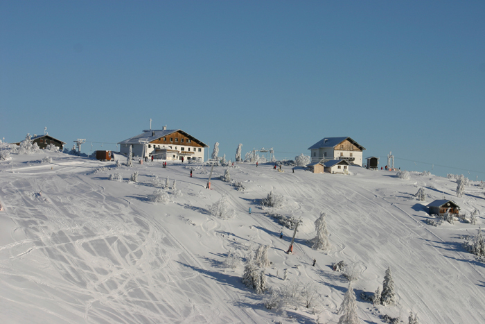
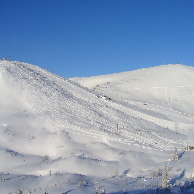
Photos of Ebensee am Traunsee
Amazing day riding deep powder with the sun shining on Feuerkogel by Robert Blee
Other resorts in Austria are reporting: powder (4) / good piste (4)
The above table gives the weather forecast for Ebensee am Traunsee at the specific elevation of 460 m. Our sophisticated weather models allow us to provide snow forecasts for the top, middle and bottom ski stations of Ebensee am Traunsee. To access the weather forecasts for the other elevations, use the tab navigation above the table. For a wider view of the weather, check out the Weather Map of Austria.
Click here to read further information on freezing levels and how we forecast our temperatures.
Visitor Reviews of Ebensee am Traunsee
- Simon Gwynn from United Kingdom writes:
Ebensee am Traunsee is a great ski area for intermediates for a day trip. The ski pass for Dachstein West can be used here which is great. They have invested heavily in a new cable car and a couple of 6 seater lifts. The views of the Traunsee and surrounding area are fantastic. 2-3 good red runs including a steep red (almost a black). Local restaurant has very good food and value.
Visitor Reviews of Ebensee am Traunsee
Simon Gwynn from United Kingdom writes:
Ebensee am Traunsee is a great ski area for intermediates for a day trip. The ski pass for Dachstein West can be used here which is great. They have invested heavily in a new cable car and a couple of 6 seater lifts. The views of the Traunsee and surrounding area are fantastic. 2-3 good red runs including a steep red (almost a black). Local restaurant has very good food and value.
Free Snow-Forecast.com weather widget for your website
The Ebensee am Traunsee skiing weather widget is available to embed on external websites free of charge. It provides a daily summary of our Ebensee am Traunsee snow forecast and current weather conditions. Simply go to the feed configuration page and follow the 3 simple steps to grab the custom html code snippet and paste it into your own site. You can choose the snow forecast elevation (summit, mid-mountain or bottom lift) and metric/imperial units for the snow forecast feed to suit your own website…. Click here to get the code.
View detailed snow forecast for Ebensee am Traunsee at:
snow-forecast.com

 Nearest