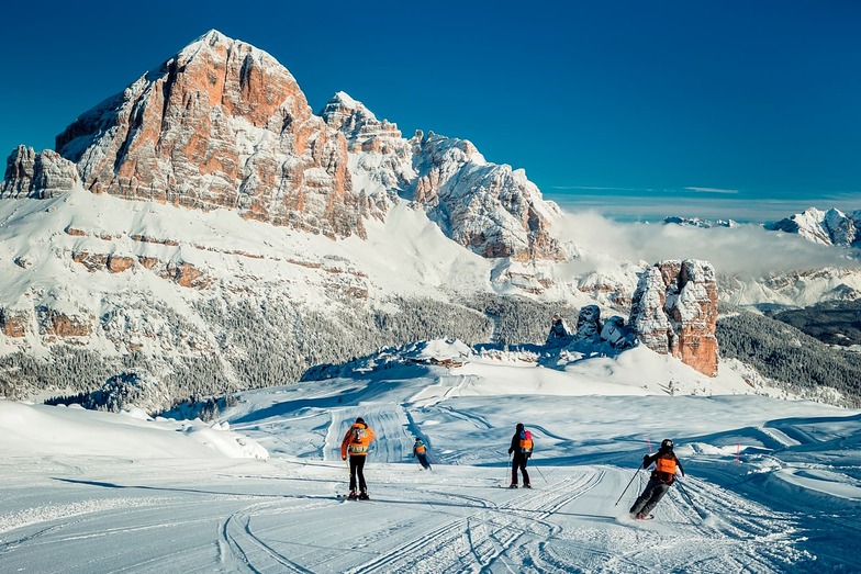

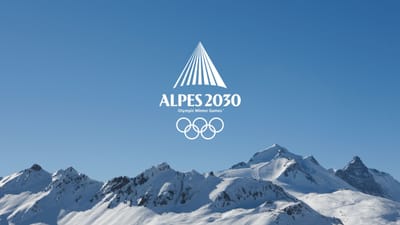
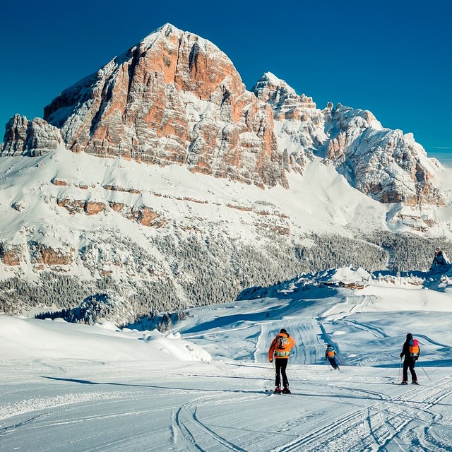
Freeride Added To 2030 Olympic Winter Games
The IOC has today announced a swathe of decisions ahead of the Alpes 2030 Winter Olympics and Paralympics in the French Alps.

Next 3 days weather summary:Heavy rain (total 41.0mm), heaviest during Sat afternoon. Warm (max 21°C on Fri afternoon, min 10°C on Sun night). Wind will be generally light. | Days 4-6 weather summary:Heavy rain (total 37.0mm), heaviest during Wed night. Warm (max 20°C on Mon afternoon, min 5°C on Tue night). Wind will be generally light. | ||||||||||||||||
Fri 17 | Saturday 18 | Sunday 19 | Monday 20 | Tuesday 21 | Wednesday 22 | ||||||||||||
PM | night | AM | PM | night | AM | PM | night | AM | PM | night | AM | PM | night | AM | PM | night | |
t-storm risk | rain shwrs | t-storm risk | t-storm risk | rain shwrs | t-storm risk | rain shwrs | rain shwrs | t-storm risk | t-storm risk | rain shwrs | t-storm risk | rain shwrs | rain shwrs | clear | light rain | heavy rain | |
km/h | |||||||||||||||||
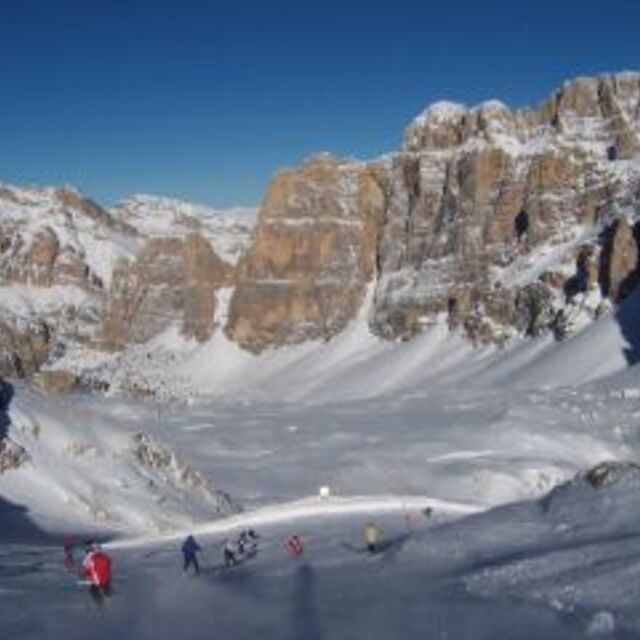
Snow map |  |  |  |  |  |  | |||||||||||
— | — | — | — | — | — | — | — | — | — | — | — | — | — | — | — | — | |
mm | 4 | 5 | 4 | 10 | 6 | 2 | 8 | 1 | 1 | 5 | 6 | 4 | 5 | 1 | — | 1 | 13 |
max °C | 21 | 18 | 20 | 20 | 15 | 19 | 19 | 16 | 19 | 20 | 15 | 15 | 17 | 13 | 17 | 18 | 13 |
min °C | 21 | 12 | 16 | 18 | 11 | 15 | 16 | 10 | 15 | 18 | 9 | 12 | 17 | 5 | 11 | 16 | 9 |
chill °C | 21 | 12 | 16 | 18 | 11 | 15 | 16 | 10 | 15 | 18 | 9 | 12 | 17 | 5 | 11 | 16 | 9 |
Humid % | 70 | 91 | 64 | 82 | 85 | 61 | 77 | 83 | 56 | 69 | 90 | 71 | 49 | 72 | 42 | 65 | 94 |
Freeze m | 4350 | 4150 | 3950 | 3950 | 3900 | 3750 | 3850 | 3750 | 3550 | 3800 | 3700 | 3400 | 3350 | 3250 | 3100 | 3550 | 3000 |
— | — | 5:35 | — | — | 5:35 | — | — | 5:37 | — | — | 5:37 | — | — | 5:39 | — | — | |
— | 8:59 | — | — | 8:59 | — | — | 8:58 | — | — | 8:57 | — | — | 8:55 | — | — | 8:54 | |
Go pro and carve into:
Avalanche information: European Avalanche Warning Services (EAWS)
Latest snow reports near Cortina:
| Top snow depth: | 0 cm |
|---|---|
| Bottom snow depth: | 0 cm |
| Fresh snowfall depth: | — |
| Last snowfall: | 10 Jun 2026 |
| Snow Alerts | Create Alert |
0.0 | Bluebird Powder days Fresh snow, mostly sunny, light wind. |
|---|---|
0.0 | Powder days Fresh snow, limited sun, any wind. |
0.0 | Bluebird days Average snow, mostly sunny, light wind. |
The above table gives the weather forecast for Cortina at the specific elevation of 1282 m. Our sophisticated weather models allow us to provide snow forecasts for the top, middle and bottom ski stations of Cortina. To access the weather forecasts for the other elevations, use the tab navigation above the table. For a wider view of the weather, check out the Weather Map of Italy.
Click here to read further information on freezing levels and how we forecast our temperatures.
Overall 3.7 Based on 23 votes and 7 reviews
The 2013/14 session was exceptional for Cortina and we went in the last week of March and had fantastic conditions. The pistes were in great condition and very well prepared. South facing slopes were not usable after 2.00 but the north and high altitude areas were still hard at 4.30. The resort is designed for intermediate cruisers and was empty. No lift queues all week and brilliant restaurants and helpful friendly people. The lack of ski convenience is a problem and in late session they reduce the bus service and so having a car or staying in a hotel or chalet that has a minibus service is a must. The Hotel Victoria is run by Inghams and is excellent. The resort is great value for money compared to France and Switzerland.
nigel emery from United Kingdom writes:
The 2013/14 session was exceptional for Cortina and we went in the last week of March and had fantastic conditions. The pistes were in great condition and very well prepared. South facing slopes were not usable after 2.00 but the north and high altitude areas were still hard at 4.30. The resort is designed for intermediate cruisers and was empty. No lift queues all week and brilliant restaurants and helpful friendly people. The lack of ski convenience is a problem and in late session they reduce the bus service and so having a car or staying in a hotel or chalet that has a minibus service is a must. The Hotel Victoria is run by Inghams and is excellent. The resort is great value for money compared to France and Switzerland.


 Nearest