A light covering of new snow, mostly falling on Sun morning. Freeze-thaw conditions (max 4°C on Tue night, min -7°C on Sun morning). Winds decreasing (fresh winds from the W on Sun night, light winds from the WSW by Tue night).
Days 4-6 weather summary:
Some drizzle, heaviest during Fri night. Mild temperatures (max 5°C on Wed night, min 2°C on Thu night). Wind will be generally light.
Recent light rain reported from Queenstown (ecowitt) at 335 metres elevation 6 kms WSW of Remarkables but it is forecast cold enough for snow at the ski area from Remarkables
8 hours ago
Recent light rain reported from Shotover at 359 metres elevation 9 kms SSE of Coronet Peak but it is forecast cold enough for snow at the ski area from Coronet Peak
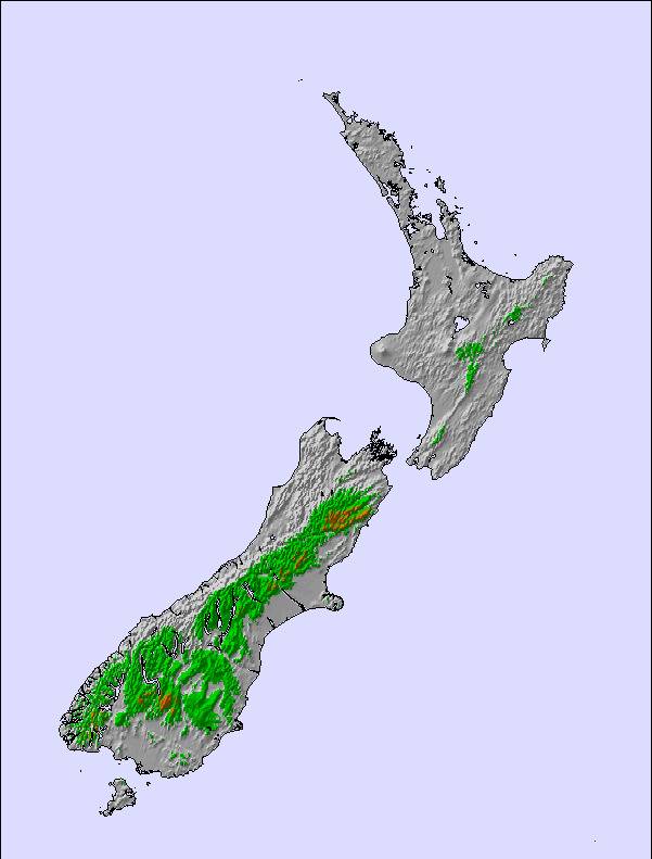
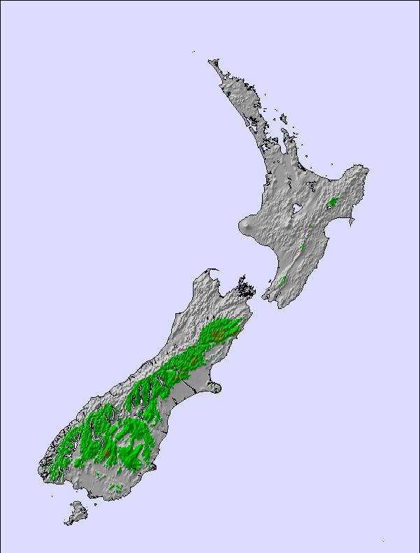
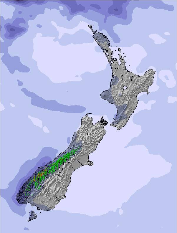
The above table gives the weather forecast for Coronet Peak at the specific elevation of 1649 m. Our sophisticated weather models allow us to provide snow forecasts for the top, middle and bottom ski stations of Coronet Peak. To access the weather forecasts for the other elevations, use the tab navigation above the table. For a wider view of the weather, check out the Weather Map of New Zealand.
Click here to read further information on freezing levels and how we forecast our temperatures.
Glad that NZ Ski has put in a lot of snowmaking machines, pretty much wouldn't have had a season without them. Fingers crossed for next year. Have had some unusual lift closures this year, the local word is it is due to lack of staff and lack of training, ie. starting lifts without de-icing first! Way too expensive for what you get. A tiny field compared to overseas, generally poor snow but can be good for a few hours after a dump. Staff generally friendly this season. Food way too dear and they closed the café side early this year due to lack of people/staff. Probably won't buy a seasons pass this year. Will just pick the good days.
Glad that NZ Ski has put in a lot of snowmaking machines, pretty much wouldn't have had a season without them. Fingers crossed for next year. Have had some unusual lift closures this year, the local word is it is due to lack of staff and lack of training, ie. starting lifts without de-icing first! Way too expensive for what you get. A tiny field compared to overseas, generally poor snow but can be good for a few hours after a dump. Staff generally friendly this season. Food way too dear and they closed the café side early this year due to lack of people/staff. Probably won't buy a seasons pass this year. Will just pick the good days.
Free Snow-Forecast.com weather widget for your website
Embed the Coronet Peak weather widget on your site for free. It provides a weekly snapshot of snow and rain conditions across all elevations. Follow the two quick steps to grab your custom code and paste it into your site. Choose between metric or imperial units. Click here to get the code.




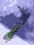
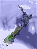
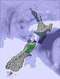


 Snow
Snow Hourly & 16-day forecasts

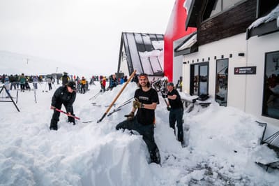


 Sign up or Login to access
 Upload new photo
 Nearest