

Global Weekly Snow Roundup #314
Weekly Global Snow News, updated 14 May 2026: Fresh snowfall in Argentina, Australia and Lesotho signals winter’s approach, while Japan maintains the world’s deepest snowpack.

Next 3 days weather summary:Moderate rain (total 12.0mm), heaviest on Mon afternoon. Freeze-thaw conditions (max 9°C on Sun afternoon, min -2°C on Sat morning). Wind will be generally light. | Days 4-6 weather summary:Light rain (total 5.0mm), mostly falling on Tue afternoon. Very mild (max 16°C on Thu afternoon, min 4°C on Tue morning). Wind will be generally light. | |||||||||||||||||
Saturday 16 | Sunday 17 | Monday 18 | Tuesday 19 | Wednesday 20 | Thursday 21 | |||||||||||||
AM | PM | night | AM | PM | night | AM | PM | night | AM | PM | night | AM | PM | night | AM | PM | night | |
snow shwrs | light snow | rain shwrs | some clouds | some clouds | rain shwrs | light rain | light rain | light rain | cloudy | light rain | light rain | clear | some clouds | some clouds | some clouds | some clouds | clear | |
km/h | ||||||||||||||||||
Snow map |  |  |  |  |  |  | ||||||||||||
— | 1 | — | — | — | — | — | — | — | — | — | — | — | — | — | — | — | — | |
— | 1 | 1 | — | — | 1 | 1 | 4 | 4 | — | 3 | 2 | — | — | — | — | — | — | |
max °C | 0 | 2 | 2 | 5 | 9 | 7 | 5 | 7 | 6 | 6 | 6 | 6 | 10 | 13 | 11 | 13 | 16 | 13 |
min °C | -2 | 1 | -1 | 2 | 8 | 4 | 4 | 6 | 3 | 4 | 6 | 6 | 7 | 13 | 9 | 9 | 15 | 12 |
-2 | -1 | -1 | 2 | 7 | 3 | 3 | 4 | 2 | 4 | 5 | 6 | 7 | 12 | 9 | 9 | 15 | 12 | |
81 | 76 | 78 | 59 | 52 | 76 | 83 | 69 | 98 | 80 | 93 | 91 | 71 | 60 | 74 | 53 | 49 | 62 | |
1600 | 1850 | 1500 | 2300 | 2500 | 2250 | 2250 | 2350 | 2150 | 2500 | 2650 | 2750 | 3000 | 3150 | 3550 | 3700 | 3700 | 4050 | |
6:01 | — | — | 6:00 | — | — | 5:58 | — | — | 5:56 | — | — | 5:56 | — | — | 5:54 | — | — | |
— | — | 8:59 | — | — | 9:00 | — | — | 9:00 | — | — | 9:01 | — | — | 9:02 | — | — | 9:04 | |
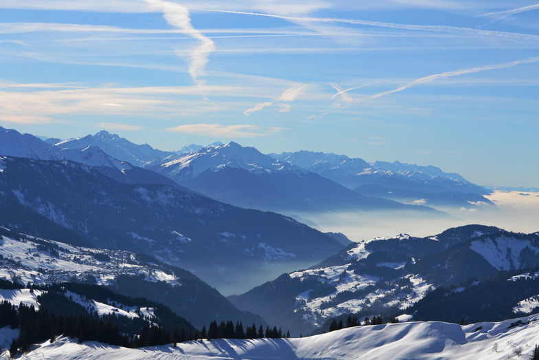
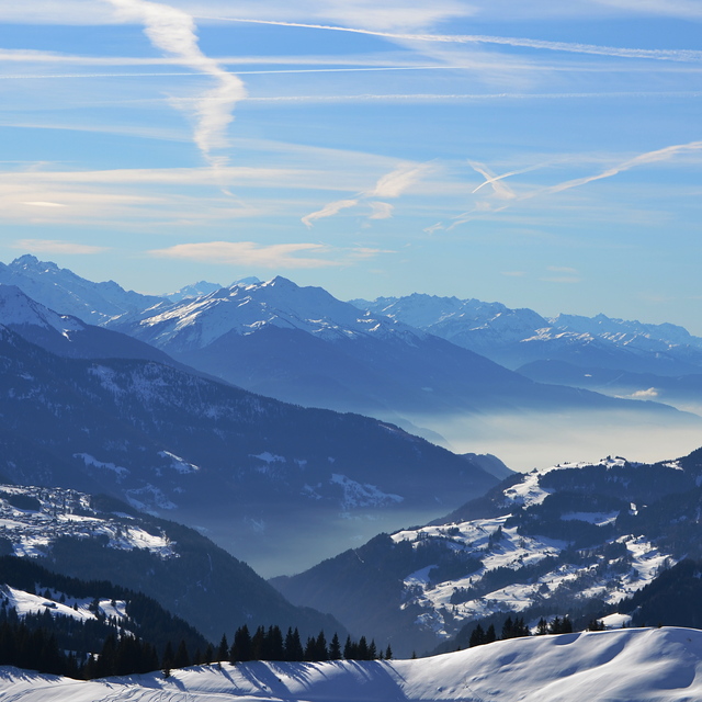
Latest snow reports near Combloux:
Moderate rain reported from Haute-Savoie Mont Blanc Airport/Aéroport Annecy/Meythet at 711 metres elevation only 3 kms WNW of Annecy-LeSemnoz but it is forecast cold enough for snow at the ski area from Annecy-LeSemnoz
Light rain reported from Haute-Savoie Mont Blanc Airport/Aéroport Annecy/Meythet at 711 metres elevation only 3 kms WNW of Annecy-LeSemnoz but it is forecast cold enough for snow at the ski area from Annecy-LeSemnoz
| Top snow depth: | — |
|---|---|
| Bottom snow depth: | — |
| Fresh snowfall depth: | 14 cm |
| Last snowfall: | 15 May 2026 |
| Snow Alerts | Create Alert |
0.0 | Bluebird Powder days Fresh snow, mostly sunny, light wind. |
|---|---|
0.0 | Powder days Fresh snow, limited sun, any wind. |
0.0 | Bluebird days Average snow, mostly sunny, light wind. |
The above table gives the weather forecast for Combloux at the specific elevation of 1565 m. Our sophisticated weather models allow us to provide snow forecasts for the top, middle and bottom ski stations of Combloux. To access the weather forecasts for the other elevations, use the tab navigation above the table. For a wider view of the weather, check out the Weather Map of France.
Click here to read further information on freezing levels and how we forecast our temperatures.
Overall 4.1 Based on 5 votes and 5 reviews
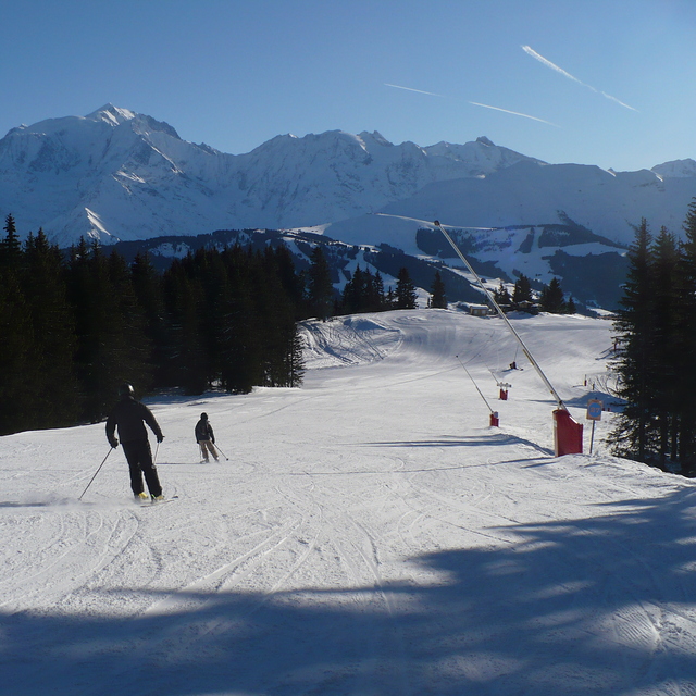
First went to Combloux in 2003 and went back every year since. Great French ski area with mostly French people, who enjoy great views, great food, and a well kept secret. Access to bigger slopes and more skiing is easy by car. It's even possible to touch down in Geneva and be on the slopes in the hour.
Phill from United Kingdom writes:
First went to Combloux in 2003 and went back every year since.
Great French ski area with mostly French people, who enjoy great views, great food, and a well kept secret.
Access to bigger slopes and more skiing is easy by car.
It's even possible to touch down in Geneva and be on the slopes in the hour.


 Nearest