

Global Weekly Snow Roundup #314
Weekly Global Snow News, updated 14 May 2026: Fresh snowfall in Argentina, Australia and Lesotho signals winter’s approach, while Japan maintains the world’s deepest snowpack.

Next 3 days weather summary:Mostly dry. Mild temperatures (max 7°C on Fri morning, min 5°C on Sun afternoon). Wind will be generally light. | Days 4-6 weather summary:Mostly dry. Mild temperatures (max 7°C on Wed night, min 4°C on Mon night). Wind will be generally light. | |||||||||||||||||
Friday 15 | Saturday 16 | Sunday 17 | Monday 18 | Tuesday 19 | Wednesday 20 | |||||||||||||
AM | PM | night | AM | PM | night | AM | PM | night | AM | PM | night | AM | PM | night | AM | PM | night | |
clear | clear | clear | clear | clear | clear | clear | clear | clear | clear | clear | clear | some clouds | cloudy | some clouds | some clouds | some clouds | some clouds | |
km/h | ||||||||||||||||||
Snow map |  |  |  |  |  |  | ||||||||||||
— | — | — | — | — | — | — | — | — | — | — | — | — | — | — | — | — | — | |
— | — | — | — | — | — | — | — | — | — | — | — | — | — | — | — | — | — | |
max °C | 7 | 7 | 6 | 6 | 6 | 6 | 6 | 5 | 5 | 5 | 5 | 5 | 5 | 4 | 6 | 6 | 6 | 7 |
min °C | 7 | 6 | 6 | 6 | 6 | 6 | 6 | 5 | 5 | 5 | 5 | 4 | 5 | 4 | 4 | 6 | 6 | 7 |
7 | 6 | 6 | 6 | 6 | 6 | 6 | 5 | 5 | 5 | 4 | 4 | 4 | 2 | 2 | 5 | 4 | 5 | |
18 | 21 | 24 | 23 | 25 | 24 | 28 | 29 | 31 | 20 | 21 | 29 | 16 | 23 | 23 | 24 | 32 | 16 | |
2900 | 3000 | 3050 | 3000 | 3050 | 3050 | 2900 | 2850 | 2750 | 2650 | 2600 | 2550 | 2700 | 2700 | 2800 | 3100 | 3400 | 3600 | |
7:52 | — | — | 7:54 | — | — | 7:54 | — | — | 7:56 | — | — | 7:58 | — | — | 7:58 | — | — | |
— | 5:25 | — | — | 5:24 | — | — | 5:23 | — | — | 5:22 | — | — | 5:22 | — | — | 5:21 | — | |
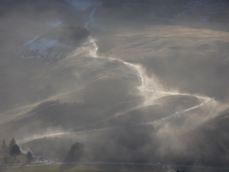
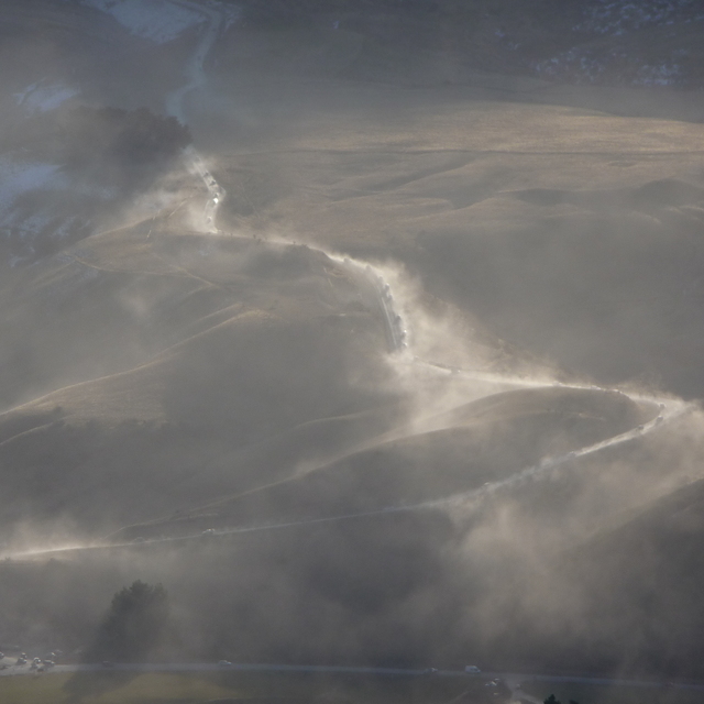
Latest snow reports near Cardrona:
| Top snow depth: | 0 cm |
|---|---|
| Bottom snow depth: | 0 cm |
| Fresh snowfall depth: | — |
| Last snowfall: | 8 May 2026 |
| Snow Alerts | Create Alert |
0.6 | Bluebird Powder days Fresh snow, mostly sunny, light wind. |
|---|---|
0.7 | Powder days Fresh snow, limited sun, any wind. |
0.5 | Bluebird days Average snow, mostly sunny, light wind. |

The above table gives the weather forecast for Cardrona at the specific elevation of 1594 m. Our sophisticated weather models allow us to provide snow forecasts for the top, middle and bottom ski stations of Cardrona. To access the weather forecasts for the other elevations, use the tab navigation above the table. For a wider view of the weather, check out the Weather Map of New Zealand.
Click here to read further information on freezing levels and how we forecast our temperatures.
Overall 3.7 Based on 40 votes and 27 reviews
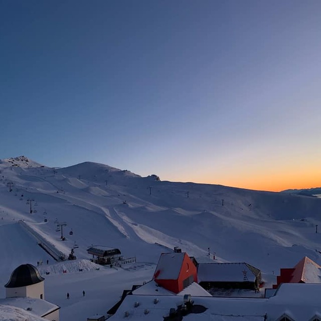
Cardrona has undoubtedly the best terrain park in the world. It's weather is not always great but its awesome when it is. Cardrona features such a wonderful community full of locals and it seems everyone is friendly and welcoming.
Cam Melville Ives from New Zealand writes:
Cardrona has undoubtedly the best terrain park in the world. It's weather is not always great but its awesome when it is. Cardrona features such a wonderful community full of locals and it seems everyone is friendly and welcoming.


 Nearest