

Global Weekly Snow Roundup #314
Weekly Global Snow News, updated 14 May 2026: Fresh snowfall in Argentina, Australia and Lesotho signals winter’s approach, while Japan maintains the world’s deepest snowpack.

Next 4 days weather summary:A moderate fall of snow, heaviest on Mon morning. Freeze-thaw conditions (max 8°C on Sat morning, min -4°C on Mon morning). Wind will be generally light. | Days 5-7 weather summary:A dusting of new snow. Freeze-thaw conditions (max 12°C on Thu afternoon, min -3°C on Mon night). Wind will be generally light. | |||||||||||||||
Saturday 16 | Sunday 17 | Monday 18 | Tuesday 19 | Wednesday 20 | ||||||||||||
night | AM | PM | night | AM | PM | night | AM | PM | night | AM | PM | night | AM | PM | night | |
some clouds | some clouds | cloudy | cloudy | light snow | light snow | light snow | light snow | light snow | light snow | light snow | light snow | snow shwrs | some clouds | some clouds | clear | |
km/h | ||||||||||||||||
Snow map |  |  |  |  |  |  | ||||||||||
— | — | — | — | — | 2 | 4 | 4 | 1 | 1 | 1 | 1 | — | — | — | — | |
— | — | — | — | — | — | — | — | — | — | — | — | — | — | — | — | |
max °C | 7 | 8 | 7 | 3 | 1 | 0 | -2 | -2 | 0 | -2 | 1 | 2 | 0 | 5 | 7 | 3 |
min °C | 5 | 8 | 6 | -1 | 0 | -1 | -3 | -4 | -1 | -3 | -1 | 2 | -1 | 3 | 7 | 2 |
3 | 6 | 4 | -3 | 0 | -4 | -8 | -10 | -4 | -8 | -4 | -1 | -4 | 1 | 4 | 2 | |
27 | 32 | 53 | 61 | 78 | 92 | 98 | 96 | 83 | 84 | 65 | 70 | 58 | 54 | 44 | 44 | |
3900 | 3750 | 3500 | 3000 | 2600 | 2500 | 2400 | 2050 | 2550 | 2400 | 2600 | 2800 | 2900 | 3000 | 3450 | 3600 | |
— | 6:07 | — | — | 6:07 | — | — | 6:07 | — | — | 6:05 | — | — | 6:05 | — | — | |
— | — | 8:37 | — | — | 8:37 | — | — | 8:37 | — | — | 8:38 | — | — | 8:39 | — | |
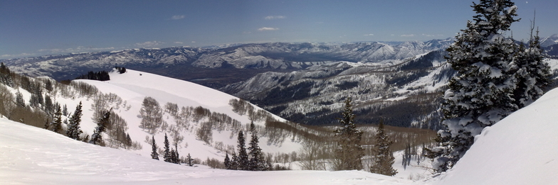
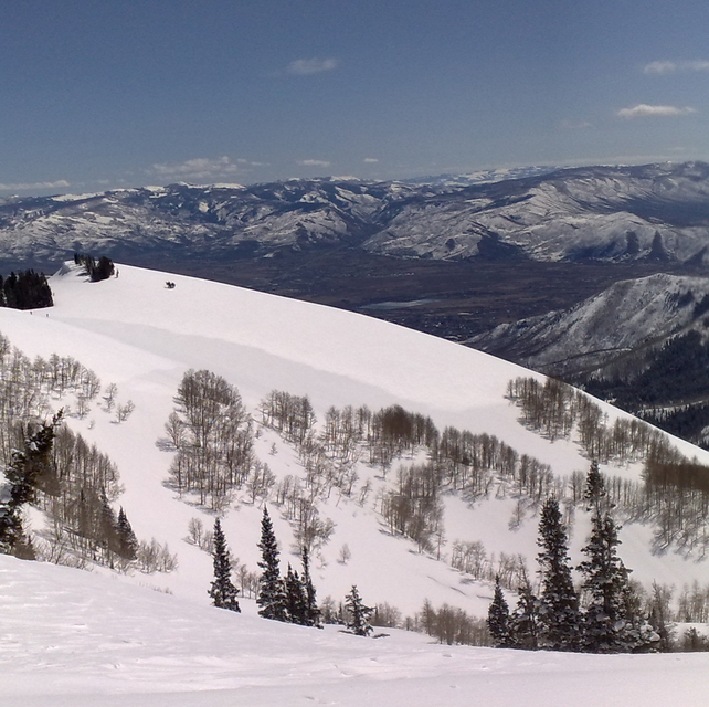
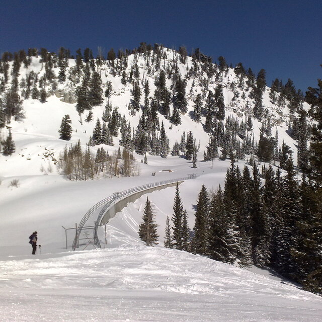
Latest snow reports near Brighton Resort:
| Top snow depth: | 0 cm |
|---|---|
| Bottom snow depth: | 0 cm |
| Fresh snowfall depth: | — |
| Last snowfall: | 5 May 2026 |
| Snow Alerts | Create Alert |
0.1 | Bluebird Powder days Fresh snow, mostly sunny, light wind. |
|---|---|
0.4 | Powder days Fresh snow, limited sun, any wind. |
0.0 | Bluebird days Average snow, mostly sunny, light wind. |
The above table gives the weather forecast for Brighton Resort at the specific elevation of 2668 m. Our sophisticated weather models allow us to provide snow forecasts for the top, middle and bottom ski stations of Brighton Resort. To access the weather forecasts for the other elevations, use the tab navigation above the table. For a wider view of the weather, check out the Weather Map of United States.
Click here to read further information on freezing levels and how we forecast our temperatures.
Overall 3.8 Based on 11 votes and 4 reviews
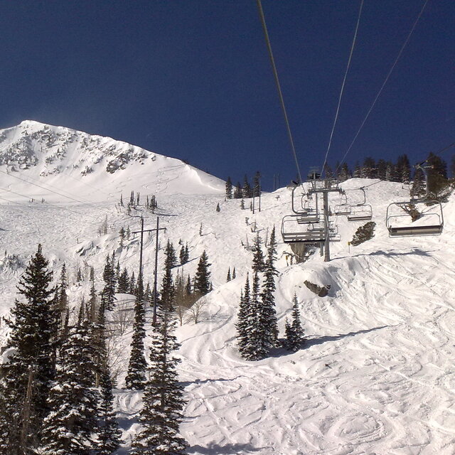
Lovely little resort, one of my favorites in Utah. If it's a nice sunny day be sure to give yourself time to take some pics of the elks and moose you're sure to see on the drive up. A snowboarders mecca but skiers wil not feel left out.
matt from United Kingdom writes:
Lovely little resort, one of my favorites in Utah. If it's a nice sunny day be sure to give yourself time to take some pics of the elks and moose you're sure to see on the drive up. A snowboarders mecca but skiers wil not feel left out.


 Nearest